Tête Blanche North Face, 3412m
A short introductory North Face with a long approach and descent.
Difficult Alpine Climbing
- Distance
- 7.2 km
- Ascent
- 767 m
- Descent
- 767 m
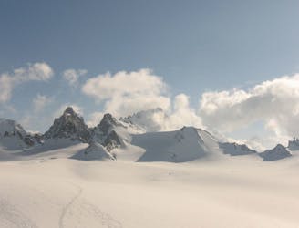
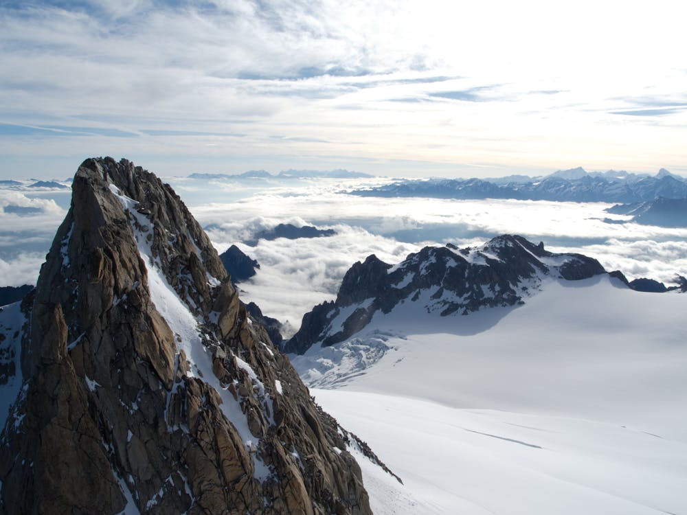
A classic introductory alpine peak, with stunning views from the summit.
Alpine Climbing Easy

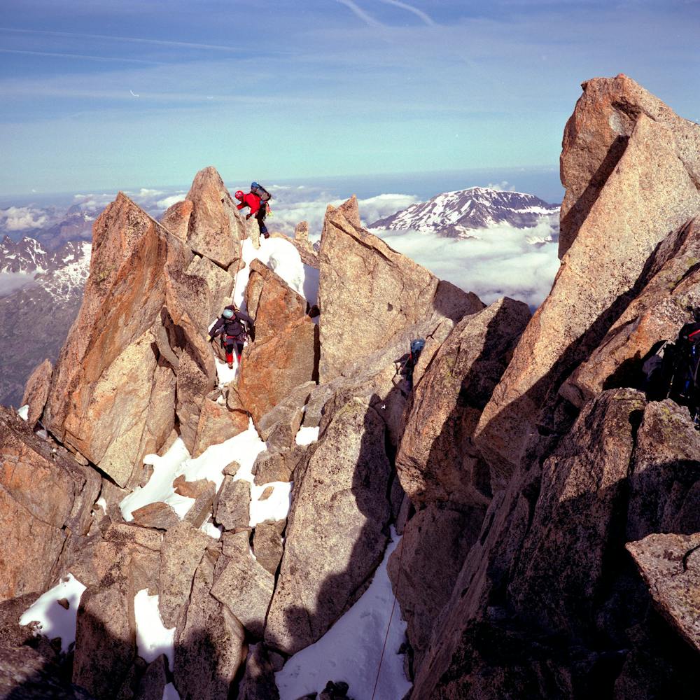
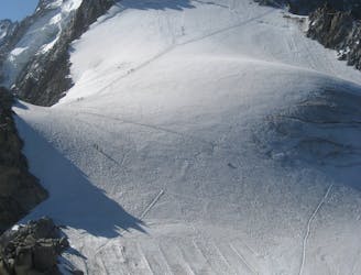
From the Albert Premier Hut, with a suitably early start, follow the good track, which leads gently up and then easily down onto the Le Tour Glacier. This is actually highly crevassed, though early in the season they are normally well covered. Don’t be tempted to keep your rope in your pack, even though it is low angled, and make sure there is plenty of space between you on the glacier. The glacier steepens up as you head towards the Col Superior du Tour. There is normally some easy rocky scrambling to get through the col onto the Swiss side, hopefully into the early morning sunshine, for a quick breather and a drink. Continue around the Aiguille Purtscheller, heading to one of two places, according to the difficulty of the bergschrund. Marked is the route going up the S ridge, an easy scramble to the summit. Equally good is to go to the col between the two summits of the Aiguille du Tour, and then scrambling up the N ridge to the summit. Revel in the spectacular view of two countries- a justifiably popular summit. Descent is the reverse of your ascent, taking care not to knock anything down onto other parties on either ridge.
Easy
The ascent involves simple glacier hiking and/or short, straightforward rock scrambles. Equivalent to Alpine F, F+

The route features some exposed and/or difficult to protect sections.
Away from help but easily accessed.
A short introductory North Face with a long approach and descent.
Difficult Alpine Climbing
8 m away
A classic easy peak which provides a wonderful journey through high and beautiful mountains.
Moderate Alpine Climbing
11 m away
A gorgeous day across a wild glacier.
Moderate Alpine Climbing
5.8 km away
Although short, this route packs in plenty of adventure and has a wonderful high mountain ambience.
Moderate Alpine Climbing
6.3 km away
A breathtaking viewpoint via an interesting (but never particularly hard) route.
Difficult Alpine Climbing
9 km away
A journey up the Vallée Blanche then ladders up to a remote hut in a wild and beautiful place
Easy Alpine Climbing
9.7 km away
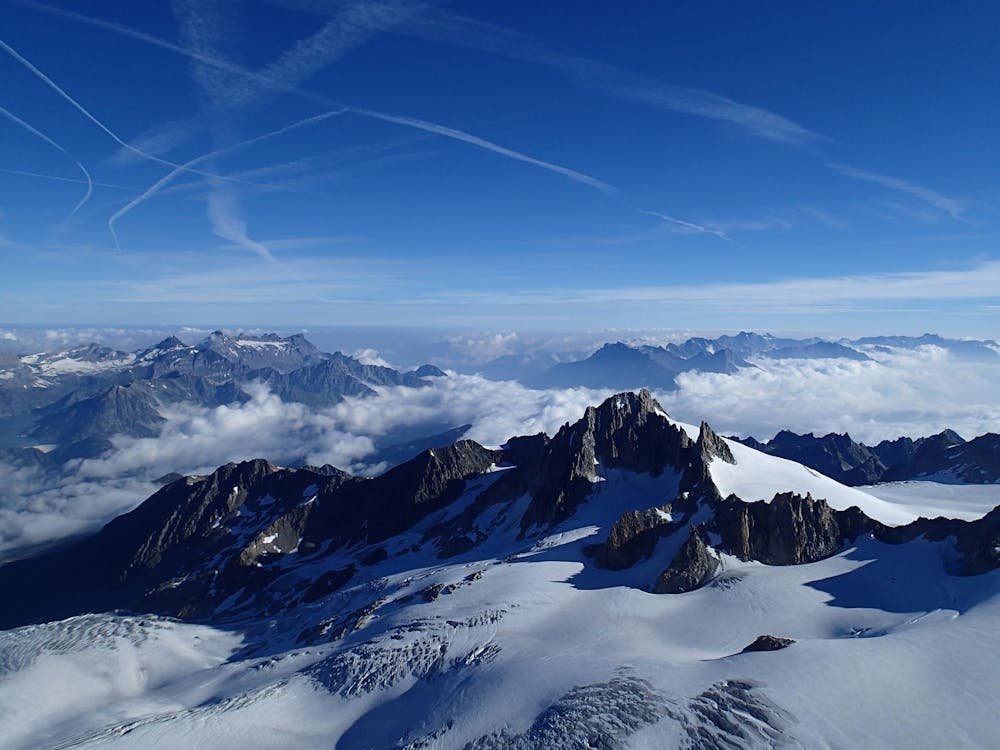
One of the toughest classic 4000m peaks which enjoys some of the finest views in the range.
Difficult Alpine Climbing
9.7 km away
A classic route up a rocky peak with legendary views of the Mont Blanc Massif
Moderate Alpine Climbing
9.7 km away
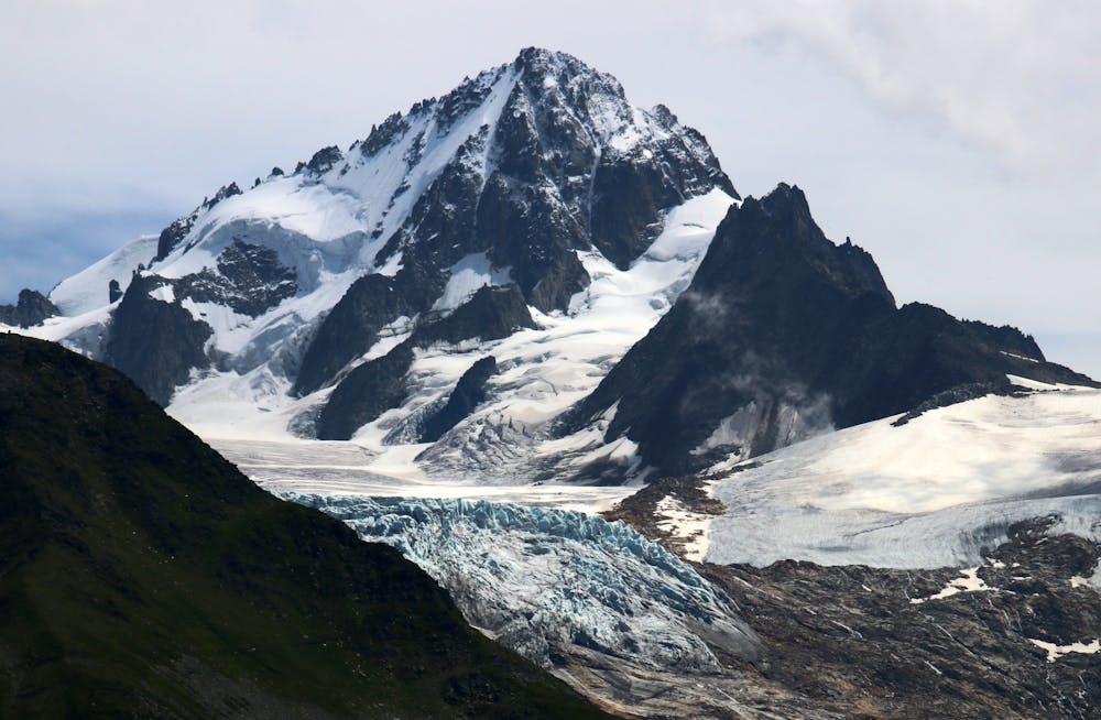
A remote mountain, famed by the routes on its N Face, is a challenging climb from any side.
Difficult Alpine Climbing

12 routes · Alpine Climbing · Hiking

15 routes · Alpine Climbing · Hiking

6 routes · Alpine Climbing · Hiking

9 routes · Alpine Climbing · Hiking

9 routes · Alpine Climbing · Hiking