4 m away
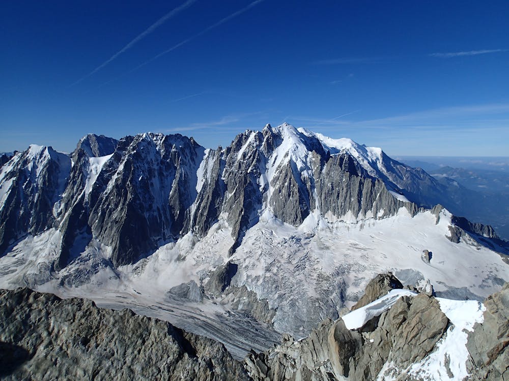
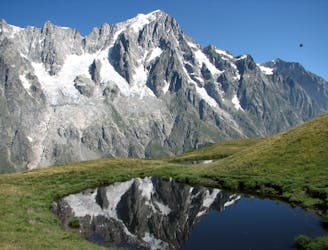
Aiguille de Moine, 3412m. S Face
A classic route up a rocky peak with legendary views of the Mont Blanc Massif
Moderate Alpine Climbing
- Distance
- 2.3 km
- Ascent
- 696 m
- Descent
- 696 m
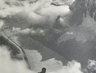
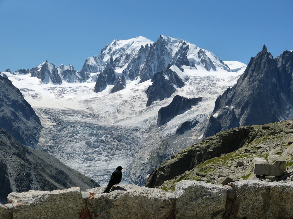
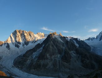
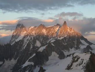
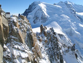
One of the toughest classic 4000m peaks which enjoys some of the finest views in the range.
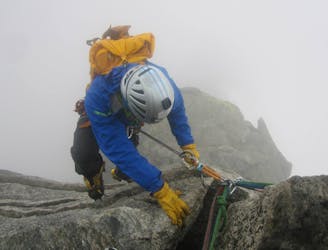
Alpine Climbing Difficult

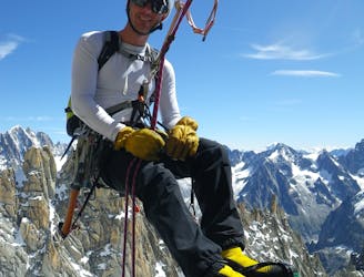
The Whymper Couloir, first climbed by in 1865 by Edward Whymper and Christian Almer, is the most commonly ascended route up the Aiguille Verte. Despite the (relatively) modest difficulty of AD+, it is nonetheless a serious undertaking requiring solid snow and ice climbing skills.
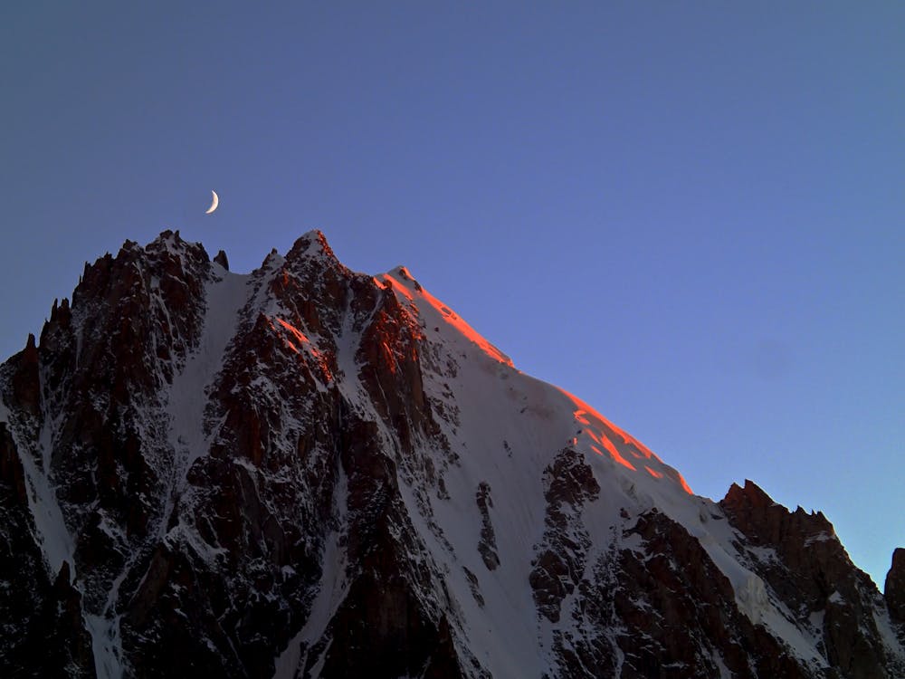
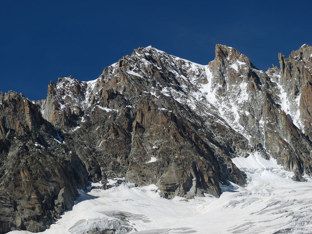
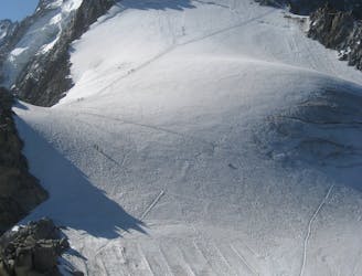
Equip yourself with 2 ropes, nuts, cams and crevasse rescue gear, being confident you can use it all if needed. This is a technical mountaineering route, definitely unsuitable for those with limited mountaineering experience. Make a VERY early (1am ish) start from the Refuge de Couvercle (2750 meters) and follow the climbers left hand side of the Taléfre Glacier until you reach the bergschrund at 3450 meters. Historically the bergschrund passes on the climbers right side, but due to global warming it is now being passed often on the left as well, which requires a 150 meter traverse back right to join the main part of the couloir. After a short section of easy (40-45 degree) snow climbing you enter a narrower section which is often drier and can have steps of easy mixed climbing. You will pass numerous rappel anchors which give the additional possibility of running belays, in addition to cam, nut, and sling placements. Climbers generally opt for one of two strategies to protect themselves on the route. Either you solo the majority of the couloir, or you use a sixty meter rope and running belays with ropemen to increase the margin of safety should rockfall, sluff, or something dislodged from climbers above you (which there will almost certainly be in the main season) knock you off. Once you reach the col at the top of the line, it is another 20 minutes on an exposed ridge to the summit of the Aiguille Verte (4,122m). Traditionally Chamonix mountain guides said that are not a "vrai alpiniste" (a real mountaineer) unless you have climbed the Aiguille Verte, so enjoy your new found status and fabulous views from the summit!
Once back at the col it is another one hour roundtrip to the summit of the Grand Rocheuse (4,102) which is another of the 82 4,000 meter peaks. From Grand Rocheuse it is also possible to do an out and back to the Aiguille Jardin (4,035) which should take about 1.5 hours from the Rocheuse summit. It is very important to be mindful of the time, because the Whymper receives early sun and will start to have sluffs and rockfall after 10 AM. The Whymper is well equipped for rappelling (2 x 60 meter ropes necessary) so rappel and downclimb all the way back down to and then over the bergschrund. Allow twelve hours from hut to hut.
Difficult
The beginning of truly technical terrain which might involve pitched climbing on rock and/or ice, exposed terrain and complex route finding in ascent and descent. Equivalent to AD, AD+

The majority of the route is "no fall" terrain.
In the high mountains or remote conditions, all individuals must be completely autonomous in every situation.
4 m away
A classic route up a rocky peak with legendary views of the Mont Blanc Massif
Moderate Alpine Climbing
5 m away
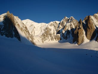
A remote mountain, famed by the routes on its N Face, is a challenging climb from any side.
Difficult Alpine Climbing
4.2 km away
Although short, this route packs in plenty of adventure and has a wonderful high mountain ambience.
Moderate Alpine Climbing
4.4 km away
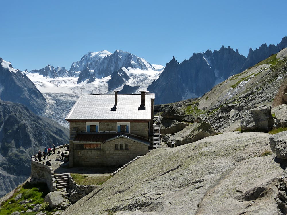
A journey up the Vallée Blanche then ladders up to a remote hut in a wild and beautiful place
Easy Alpine Climbing
4.5 km away
A breathtaking viewpoint via an interesting (but never particularly hard) route.
Difficult Alpine Climbing
4.8 km away
Committed now, you continue your sensational journey, space-walking along the historic ridge.
Severe Alpine Climbing
6.4 km away
An unforgettable journey through complex terrain for the 4000m peak connoisseur
Difficult Alpine Climbing
6.8 km away
An iconic and accessible route with great and varied climbing, with amazing exposure down to Chamonix
Difficult Alpine Climbing
6.9 km away
A truly classic route, which is serious and exposed but not technically difficult.
Difficult Alpine Climbing
6.9 km away
A wonderful high mountain journey through huge, wild mountains
Moderate Alpine Climbing

12 routes · Alpine Climbing · Hiking

15 routes · Alpine Climbing · Hiking

6 routes · Alpine Climbing · Hiking

9 routes · Alpine Climbing · Hiking

10 routes · Alpine Climbing · Hiking

10 routes · Alpine Climbing