1.7 km away
Traverse of the Grandes Jorasses, Day 2
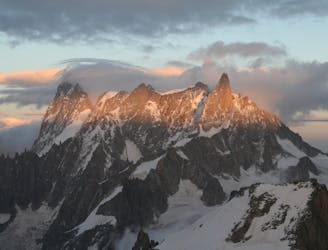
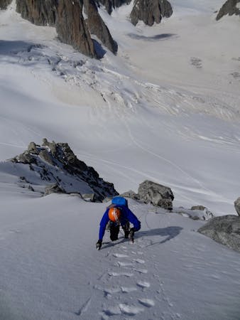
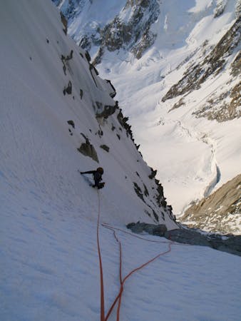
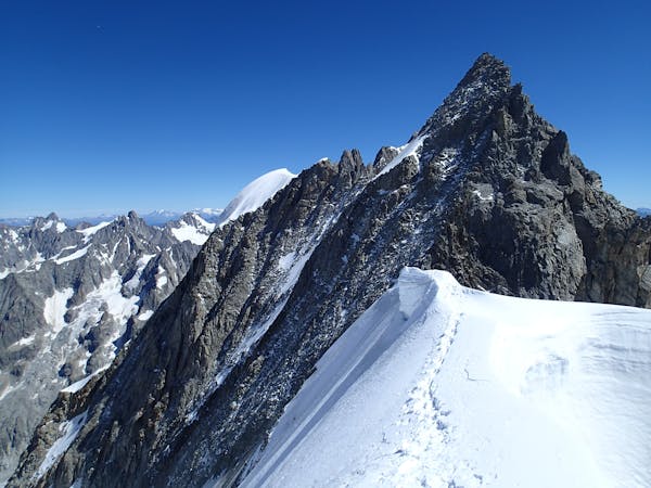
Committed now, you continue your sensational journey, space-walking along the historic ridge.
Severe Alpine Climbing
- Distance
- 3.8 km
- Ascent
- 417 m
- Descent
- 1.5 km

An unforgettable journey through complex terrain for the 4000m peak connoisseur
Alpine Climbing Difficult

This is a true mountaineer’s summit, of the highest calibre, to be cherished by all. There are many famous and ground-breaking routes on the N Face, but all of them lead to this route as a descent, or something harder.
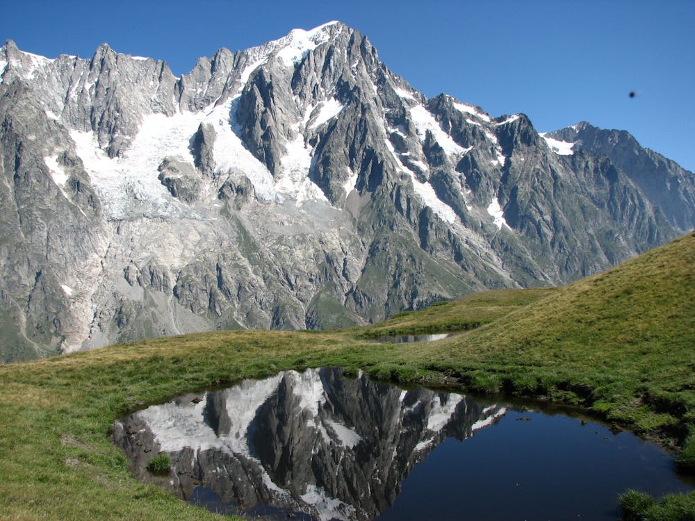
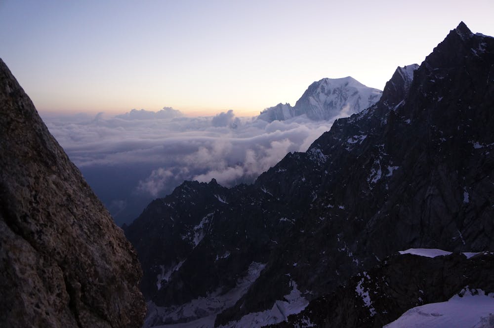
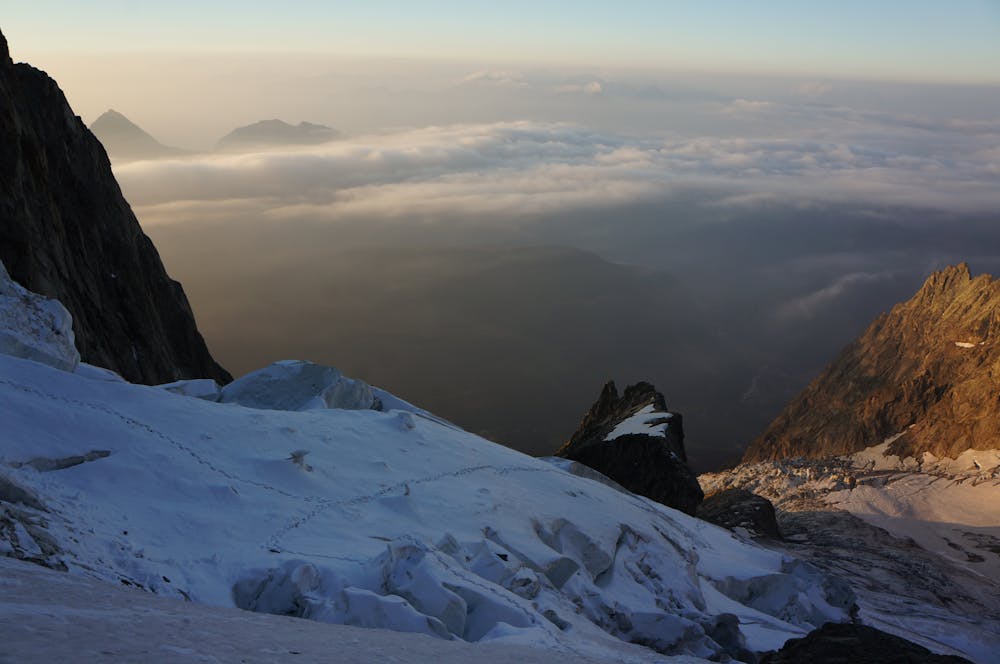
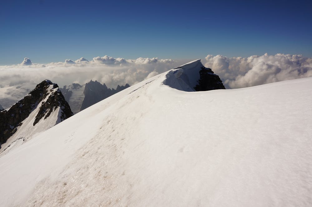
However, this is not simply to be regarded as a descent route, as it is a fine and worthy objective in its own right, requiring the full spectrum mountain skills and judgement, as well as great fitness and acclimatisation. Conditions are everything, especially on this route, and, whilst often in good condition in late June and July, by August glacial recession may render it very difficult, dangerous or impossible.
Being S facing, long and complex on steep glaciated terrain, a very early start from the hut is essential. Follow the cairned but vague track, taking good note of exactly where you came from, as it is surprisingly hard to locate the hut in descent, as there are cairns everywhere! A recce the night before is advised.
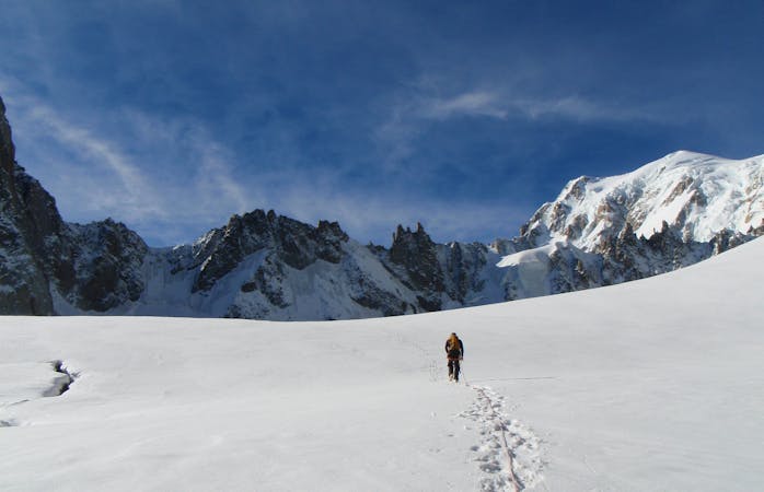
Cairns lead onto the Planpincieux Glacier, which you follow to the foot of the Rocher du Reposoir ridge at about 3400m. This whole section can be very thought provoking with lots of crevasses, snow bridges and some serac danger. The ridge is a pleasant rocky scramble which may have some snow patches too, with odd short technical moves. It is standard practise to move together on this.
At the top of the ridge you cross the upper part of the Grandes Jorasses Glacier, which isn’t normally too tricky. You are aiming for another rocky buttress, at its toe, the Rocher Whymper. This descends directly from Pt Whymper and can also be used as a method of ascent or descent, with continuously interesting scrambling, but never too hard.
More common is to traverse off the Rocher Whymper when it is easy to get onto the adjacent snow slopes. Again there is a route choice. In optimal conditions you can climb a steep snowy couloir in between the Rocher Whymper and the huge hanging serac, though this may be non-existent, or black ice later in the season. A common alternative, which is easier and shorter, but exposed to serac fall, is to take a long gently rising traverse rightwards under the full width of the serac.
Clearly this is not a place to hang around and threatened by completely unpredictable but definite danger. This leads to final mixed scrambling to the summit. Marvel at the staggering view, imagining Cassin here after the first ascent of the Walker Spur, over 3 days in 1938, with rudimentary equipment. But don’t hang around, as your descent will be slowly cooking.
You can reverse any of the three ascent routes described. I have been down the Rocher Whymper and, whilst objectively very safe, it is slower than when I ran the gauntlet under the serac another time. Arguably your safest route is the quickest, as it is the heavily crevassed section to get through the Planpincieux Glacier that is the most hazardous. There are various short abseils you can do in descent. But if you are confident it may be quicker (and hence safer) to downclimb. The earlier you get there the safer the snow bridges. Once off the Planpincieux Glacier breathe a sigh of relief and follow your well-remembered cairn strewn walk back down to the hut.
Savour a cold beer and relish the magnificent day out, to one of the greatest Alpine summits of them all. I recommend spending a second night in the hut. One time I carried on down and regretted it! Savour the moment in this wild and austere environment.
Difficult
The beginning of truly technical terrain which might involve pitched climbing on rock and/or ice, exposed terrain and complex route finding in ascent and descent. Equivalent to AD, AD+
1.7 km away

Committed now, you continue your sensational journey, space-walking along the historic ridge.
Severe Alpine Climbing
3.5 km away
A long and very committing route of the highest calibre
Severe Alpine Climbing
3.5 km away
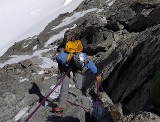
An amazingly exposed rocky ridge, but never too hard, with incredible views
Difficult Alpine Climbing
3.5 km away
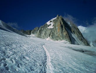
A relatively short route to a fantastic summit with breathtaking views of the S side of Mont Blanc
Moderate Alpine Climbing
3.5 km away
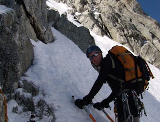
A great introduction to one of the more accessible N faces in the area.
Difficult Alpine Climbing
3.5 km away
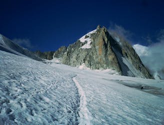
A megaclassic rite of passage for the budding N Face alpinist.
Severe Alpine Climbing
3.5 km away
An aesthetic short traverse and a good introduction to steeper snow.
Difficult Alpine Climbing
3.5 km away
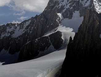
A popular and exposed route to a stunning granite spire, with epic views.
Difficult Alpine Climbing
3.5 km away
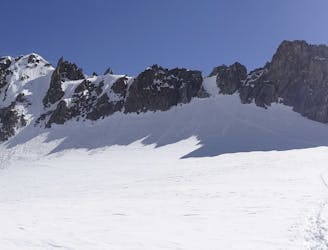
A great training route that can be done in either direction, easier N to S as described.
Moderate Alpine Climbing
3.5 km away
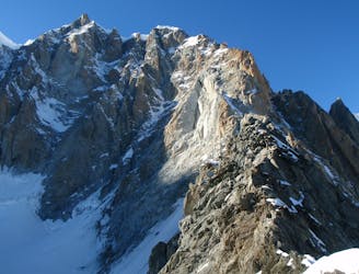
A memorable technical mountaineering route up one of the finest ridges of its standard in the Alps, the Frontier Ridge.
Severe Alpine Climbing
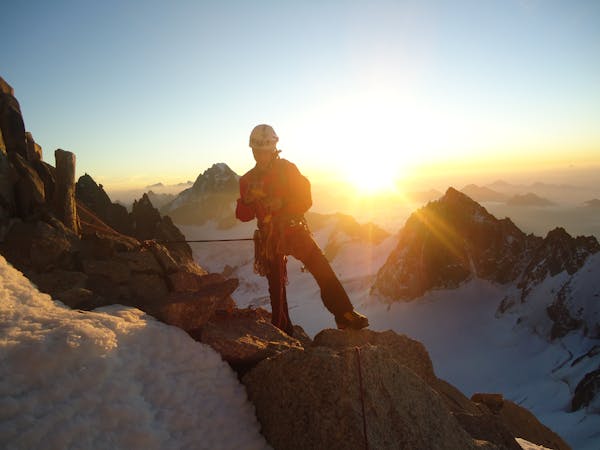
12 routes · Alpine Climbing · Hiking
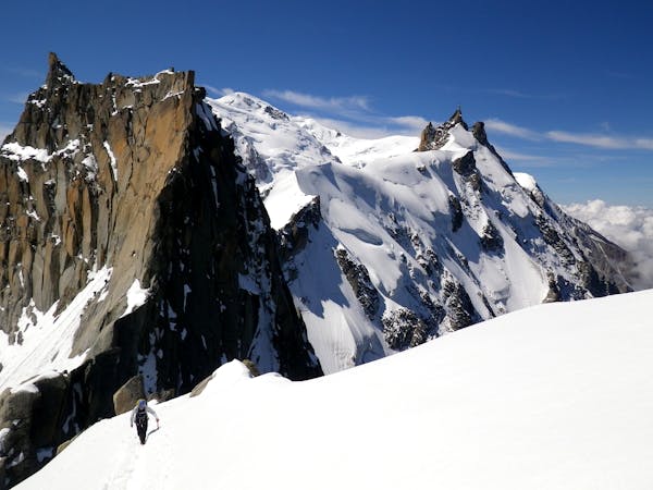
15 routes · Alpine Climbing · Hiking
6 routes · Alpine Climbing · Hiking
9 routes · Alpine Climbing · Hiking
10 routes · Alpine Climbing · Hiking
10 routes · Alpine Climbing