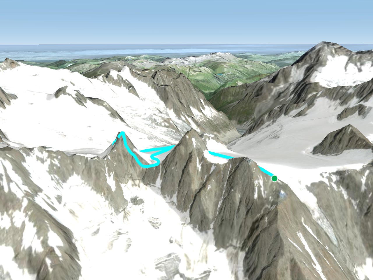
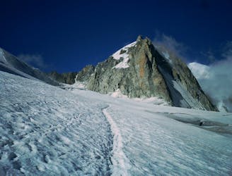
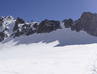
Tour Ronde, 3792m. Normal Route (E Face)

A relatively short route to a fantastic summit with breathtaking views of the S side of Mont Blanc
Moderate Alpine Climbing
- Distance
- 5.7 km
- Ascent
- 669 m
- Descent
- 669 m
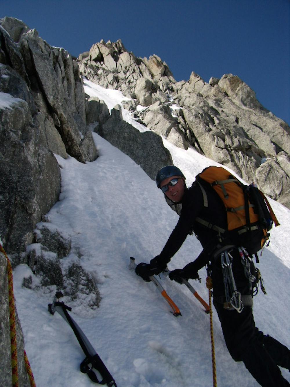
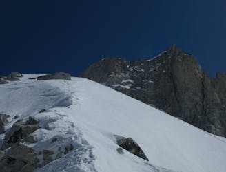
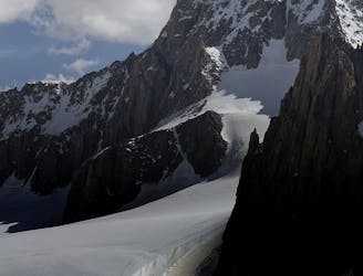
A great introduction to one of the more accessible N faces in the area.
Alpine Climbing Difficult
This is a popular short N Face that is usually in good condition in the spring and early summer. Late summer and autumn may bring conditions back in, but it is often not good in August. Take the major track from Helbronner, as for the described route Traverse of the Auiguille d’Entrèves, descending to near its lowest point, underneath the Aiguille de Toule. The exact crossing point of the rimaye will vary from year to year, and indeed the face itself can be climbed almost anywhere. In good conditions the most aesthetic line is to go to the R of a rocky buttress in the centre of the face. This leads to a narrow gully that splits the rocks either side, taking you up a few pitches to a snowy crest. In leaner conditions it may be better to go more up the centre of the face, then trending R at the top. Both routes lead to a final snowy crest, then easy rocks to the summit. Descend either E ridge or the W face. Both are marked as the route Traverse of the Aiguille de Toule.
Difficult
The beginning of truly technical terrain which might involve pitched climbing on rock and/or ice, exposed terrain and complex route finding in ascent and descent. Equivalent to AD, AD+

Much of the route is difficult to protect and a fall could be disastrous at certain points.

Away from help but easily accessed.
A relatively short route to a fantastic summit with breathtaking views of the S side of Mont Blanc
Moderate Alpine Climbing
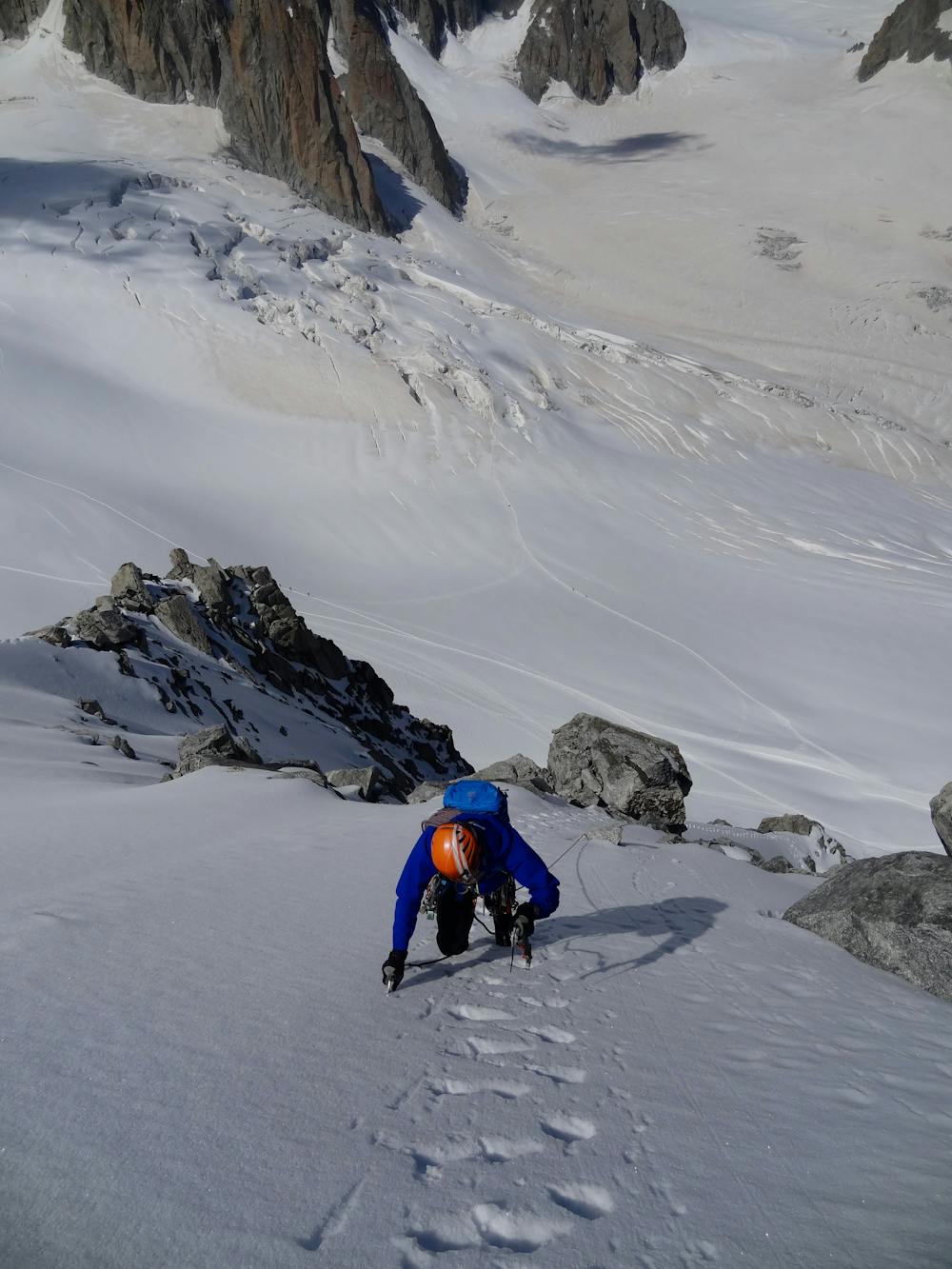
An amazingly exposed rocky ridge, but never too hard, with incredible views
Difficult Alpine Climbing
A megaclassic rite of passage for the budding N Face alpinist.
Severe Alpine Climbing
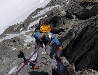
An aesthetic short traverse and a good introduction to steeper snow.
Difficult Alpine Climbing
1 m away
A long and very committing route of the highest calibre
Severe Alpine Climbing
54 m away
A memorable technical mountaineering route up one of the finest ridges of its standard in the Alps, the Frontier Ridge.
Severe Alpine Climbing
98 m away
A great training route that can be done in either direction, easier N to S as described.
Moderate Alpine Climbing
105 m away
A popular and exposed route to a stunning granite spire, with epic views.
Difficult Alpine Climbing
3.5 km away
An unforgettable journey through complex terrain for the 4000m peak connoisseur
Difficult Alpine Climbing
4.1 km away
Committed now, you continue your sensational journey, space-walking along the historic ridge.
Severe Alpine Climbing

12 routes · Alpine Climbing · Hiking

15 routes · Alpine Climbing · Hiking

6 routes · Alpine Climbing · Hiking

9 routes · Alpine Climbing · Hiking

10 routes · Alpine Climbing · Hiking

10 routes · Alpine Climbing