1 m away
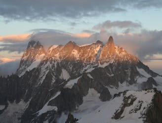
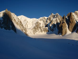
Aiguille de Moine, 3412m. S Face
A classic route up a rocky peak with legendary views of the Mont Blanc Massif
Moderate Alpine Climbing
- Distance
- 2.3 km
- Ascent
- 696 m
- Descent
- 696 m
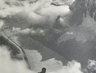
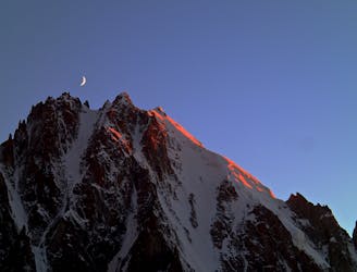
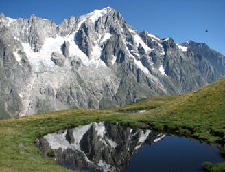
A remote mountain, famed by the routes on its N Face, is a challenging climb from any side.
Alpine Climbing Difficult

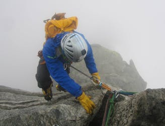
One of the great N Faces of the Western Alps leads to the summit of our mountain. The S side is much lower angled, but, with over 1200m of ascent from the hut on a remote route, it is not to be underestimated. It is very condition dependent, as the access couloir needs to be snow-filled. You should climb this route on a day that is not forecast to be too hot, in order to safeguard the descent.
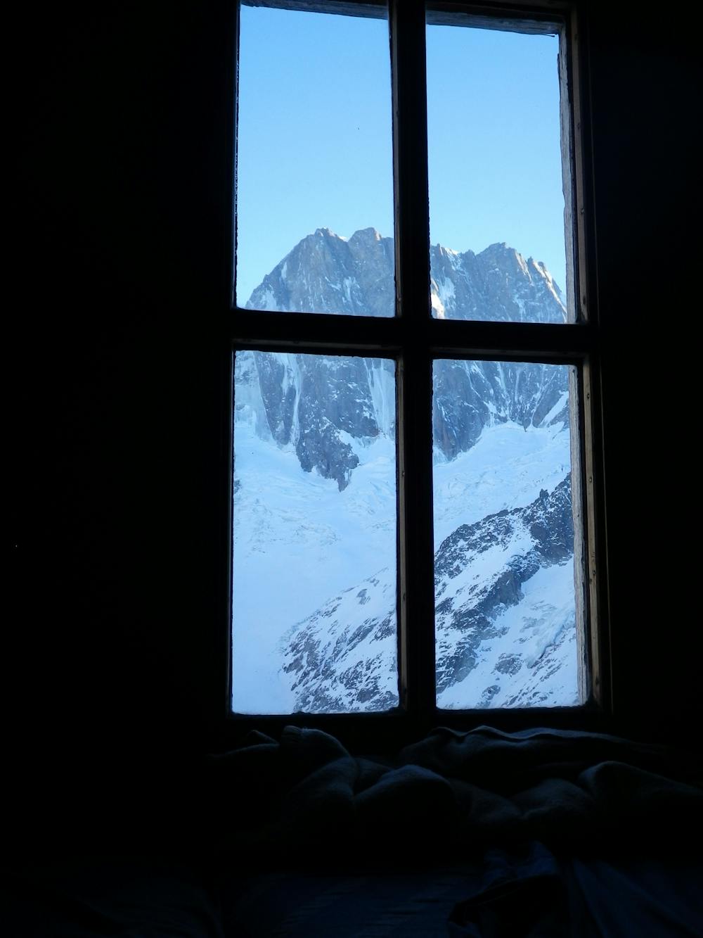
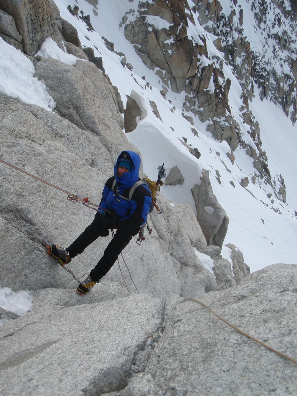
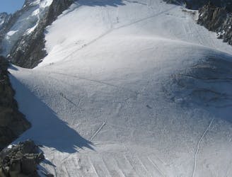
From the Couvercle Hut leave very early and follow the well-worn track, as for the Aiguille Verte, to about 2900m. From here trend off to the R, taking the line of least resistance on glacial benches, right the way across the glacier, aiming for the obvious straight snowy couloir, which you should find in good frozen conditions. Carefully consider the conditions of the day - if it is not well frozen on the glacier and in the couloir the retreat is probably advised. Climb this to the top, with decent rock runners and belays if needed.
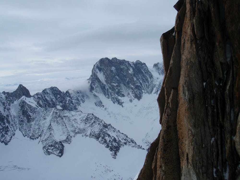
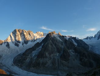
Follow the mixed crest above, generally avoiding rocky sections and towers on the R. Pass to the L of a final rock tower near the top, to arrive at the summit. You are likely to have the peak to yourselves as it does not have quite the cachet of the Aiguille Verte. It is, however, every bit as fine a summit, and has panoramic views of the Grandes Jorasses, the Argentiere basin and the Mont Blanc.
In descent, if it is a cool day, it is fine to reverse your line of ascent, with some rappels as needed in the couloir. A common alternative in descent, which can be also used in ascent, is to follow a SE facing couloir from the rock tower below the summit, by a series of rappels. These lead onto the 40 degree apron of snow that lies below the Col des Droites. Descend this then the easy slopes below the moraines and beneath the Jardin de Talefre.
This descent avoids crossing the entirety of the main snow-covered glacier when it is at its hottest.
Difficult
The beginning of truly technical terrain which might involve pitched climbing on rock and/or ice, exposed terrain and complex route finding in ascent and descent. Equivalent to AD, AD+

Much of the route is difficult to protect and a fall could be disastrous at certain points.

In the high mountains or remote conditions, all individuals must be completely autonomous in every situation.
1 m away
A classic route up a rocky peak with legendary views of the Mont Blanc Massif
Moderate Alpine Climbing
5 m away
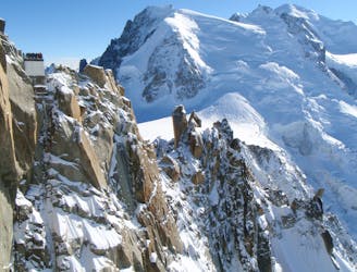
One of the toughest classic 4000m peaks which enjoys some of the finest views in the range.
Difficult Alpine Climbing
4.2 km away
Although short, this route packs in plenty of adventure and has a wonderful high mountain ambience.
Moderate Alpine Climbing
4.4 km away
A journey up the Vallée Blanche then ladders up to a remote hut in a wild and beautiful place
Easy Alpine Climbing
4.5 km away
A breathtaking viewpoint via an interesting (but never particularly hard) route.
Difficult Alpine Climbing
4.8 km away
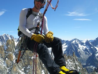
Committed now, you continue your sensational journey, space-walking along the historic ridge.
Severe Alpine Climbing
6.4 km away
An unforgettable journey through complex terrain for the 4000m peak connoisseur
Difficult Alpine Climbing
6.7 km away
An iconic and accessible route with great and varied climbing, with amazing exposure down to Chamonix
Difficult Alpine Climbing
6.9 km away
A truly classic route, which is serious and exposed but not technically difficult.
Difficult Alpine Climbing
6.9 km away
A wonderful high mountain journey through huge, wild mountains
Moderate Alpine Climbing

12 routes · Alpine Climbing · Hiking

15 routes · Alpine Climbing · Hiking

6 routes · Alpine Climbing · Hiking

9 routes · Alpine Climbing · Hiking

10 routes · Alpine Climbing · Hiking

10 routes · Alpine Climbing