652 m away
Approach to the Dix Hut
A lovely mountain walk initially to a col, followed by a steep descent down ladders, then across a glacier
Easy Alpine Climbing
- Distance
- 7.6 km
- Ascent
- 1 km
- Descent
- 134 m
A long and scenic walk up to an impressively positioned hut
Alpine Climbing Easy

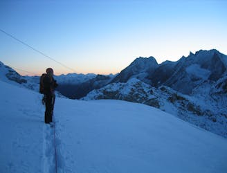
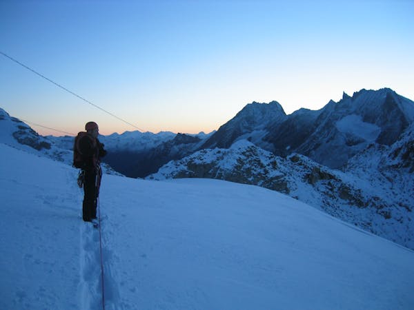
The Bertol Hut is superbly situated on a rocky promontory with imposing views. It is undoubtedly a tough approach as the higher you get the steeper it gets. If you leave it too late you will be cooking on the W facing snow slopes to the hut, with all the reflected heat in the afternoon sun. In addition, the softening snow will make for tough going. Far better is to leave early in the morning and chill out in the hut in the afternoon- it is a great place to do so!
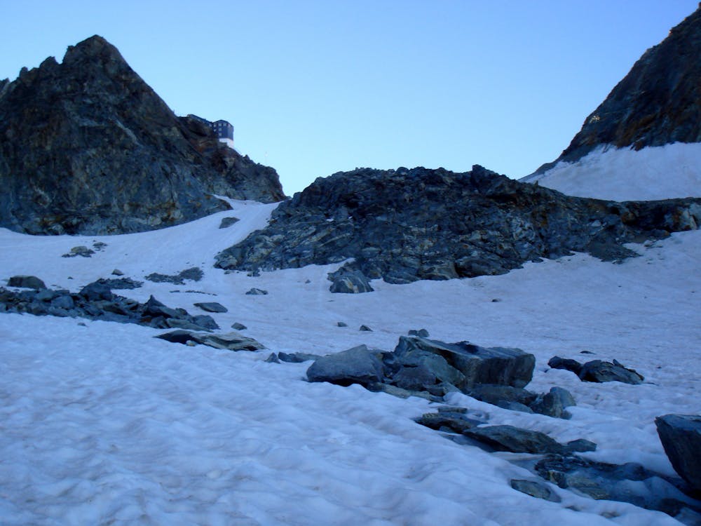
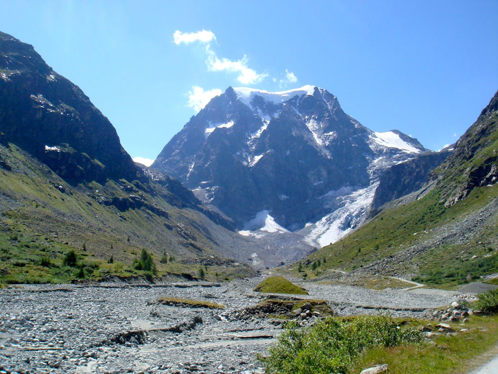
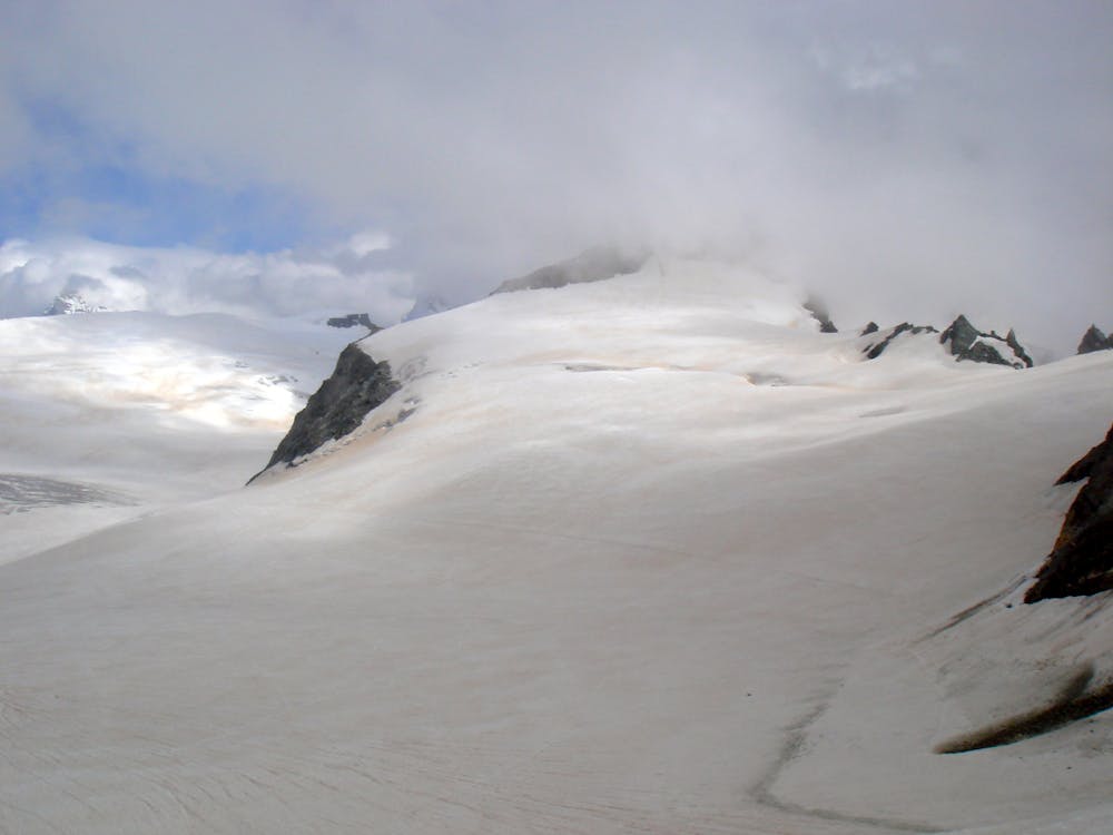
If you are not staying in Arolla, park at an obvious spot, straight on from the zig zag that heads up to the village. The path is initially flat along a 4WD track, and the view is dominated by the shapely form of Mont Collon and its N Face straight ahead of you. You then cross a bridge over the main glacial outflow and take an increasingly steep path that zig zags its way up the slope to your L. A good spot for a break, nearly half way to the hut, is at the flat spur known as Plan Bertol at 2664m, where another path meets from the R. This is the path that comes from the Vignette Hut. You begin to see the slope beyond, and the hut far above will tantalise you for the next few hours.
From here the path is initially easier, but then gradually steepens and at some point you will be on the snowy remnants of the Glacier de Bertol. It is debatable whether this represents a crevasse hazard and many people do not rope up. More significant hazards include a slip, blisters or dehydration but carry your ice axe in your hand regardless.
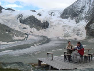
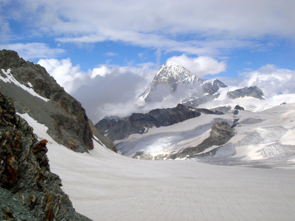
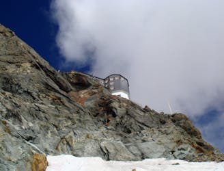
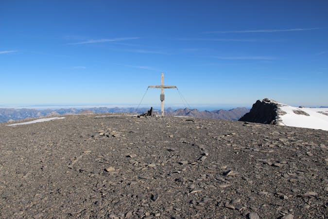
From the col above it is a staircase up the rocks to the hut where you have earned your amazing view and a drink. Contemplate for a moment the thousands of skiers who, every 2 years on the Patrouille des Glaciers, ski past here in the dark having started many hours earlier in Zermatt, on their way to Arolla then Verbier. They will have skied over the Tête Blanche, which is perhaps your summit for tomorrow?
Easy
The ascent involves simple glacier hiking and/or short, straightforward rock scrambles. Equivalent to Alpine F, F+

The route features some exposed and/or difficult to protect sections.
Away from help but easily accessed.
652 m away
A lovely mountain walk initially to a col, followed by a steep descent down ladders, then across a glacier
Easy Alpine Climbing
3.4 km away
A long, beautiful and circuitous day through some desolate mountains.
Moderate Alpine Climbing
3.9 km away
A rugged day which takes you to within touching distance of Zermatt.
Moderate Alpine Climbing
3.9 km away

A straightforward high altitude glacial journey, with incredible views
Easy Alpine Climbing
4.5 km away
An ideal introductory mountaineering peak, with minimal difficulty
Easy Alpine Climbing
5.1 km away
A long and beautiful day over a famous peak.
Moderate Alpine Climbing
5.1 km away
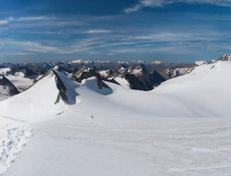
A spectacular day over the Pigne d'Arolla - the highest point reached on the Haute Route.
Moderate Alpine Climbing
9.2 km away
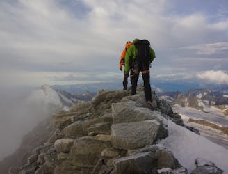
A true alpine classic with utterly spectacular views across the other 4000ers of the Swiss Valais.
Difficult Alpine Climbing

9 routes · Alpine Climbing · Hiking

10 routes · Alpine Climbing · Hiking
6 routes · Alpine Climbing · Hiking

20 routes · Alpine Climbing · Hiking
9 routes · Alpine Climbing · Hiking