652 m away
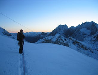
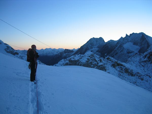
Approach to the Bertol Hut
A long and scenic walk up to an impressively positioned hut
Easy Alpine Climbing
- Distance
- 7.9 km
- Ascent
- 1.3 km
- Descent
- 2 m
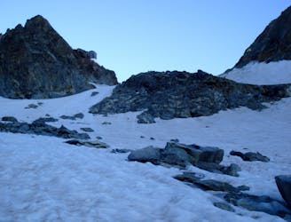
A lovely mountain walk initially to a col, followed by a steep descent down ladders, then across a glacier
Alpine Climbing Easy

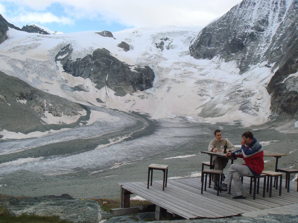
The Dix Hut is justifiably popular and can get very busy at times. It is however extremely well organised, so everything runs very well, despite sometimes large numbers of people. It is popular as its location is a key stage on the Haute Route, both in winter and in summer. In addition it has an extremely beautiful view from the terrace of the N Face of Mont Blanc de Cheilon, which dominates the skyline and is stunning at sunset. Most people come to do the traverse of the Pigne d’Arolla, which is one of the finest mountaineering routes of its type and standard in the area.
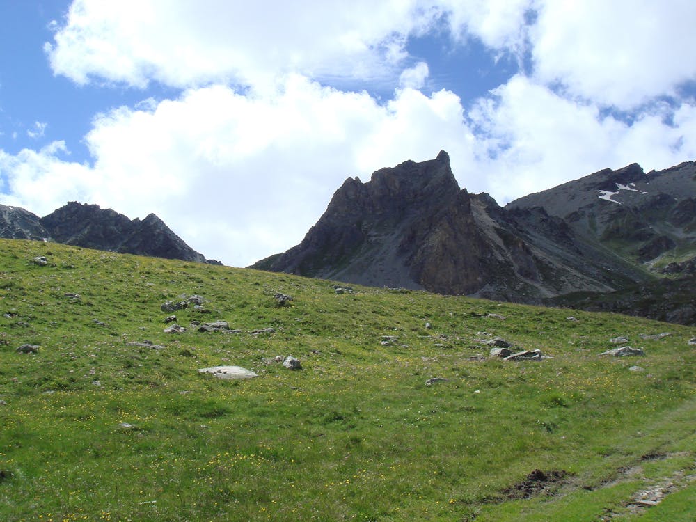
From Arolla walk through the village and up through zig zags until one of a myriad of paths is located which meander up through the trees. These soon thin out and it can be hot work heading up the hillside above. The angle eases off at about 2450m, near the top of the first ski lift, from where it is easier going. There is a clear stream to fill your bottles that you cross at about 2520m, then the path heads up the rocky valley on the L. There is a path split at about 2740m where you take the L fork which leads to the lower of two cols, the Pas de Chèvres at 2854m. The R fork goes to the higher Col de Riedmatten, which has a steep and not so pleasant descent the far side.
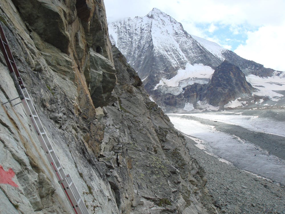
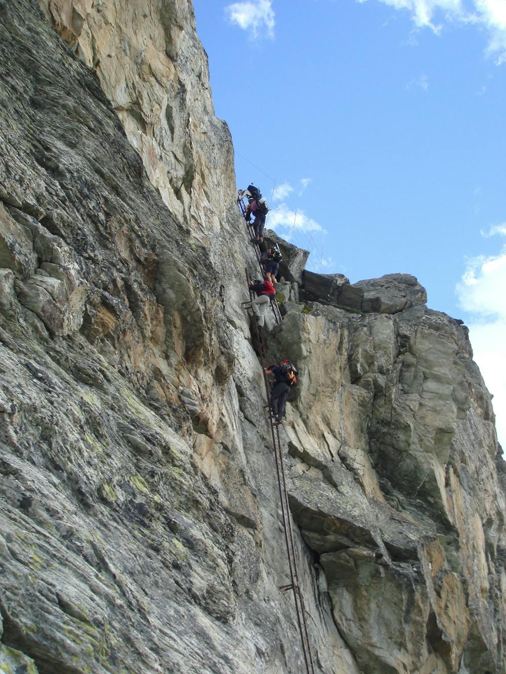
Descent from the Pas de Chèvres is via a couple of quite long steep ladders, which take you onto a rocky, dusty track which joins the path down from the Col de Riedmatten. From here you descend onto and across the normally dry Glacier de Cheilon. Cross it and follow the footpath opposite, up the fairly short moraine slope to the hut.
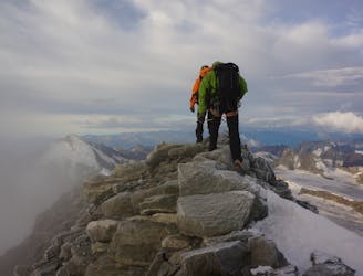
For those wanting a bit of extra sport on the way in to the hut, there is a fun rocky scramble from the Pas de Chèvres to the Col de Riedmatten. This has one long pitch to start with, about UIAA III, then some airy scrambling along the ridge protected by bolts. There is a final rappel down to the second Col, then steeply down, watching for loose stuff, joining the other path.
Easy
The ascent involves simple glacier hiking and/or short, straightforward rock scrambles. Equivalent to Alpine F, F+

The route features some exposed and/or difficult to protect sections.
Away from help but easily accessed.
652 m away
A long and scenic walk up to an impressively positioned hut
Easy Alpine Climbing
3.9 km away
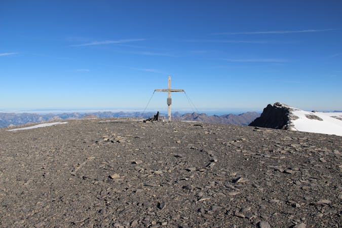
An ideal introductory mountaineering peak, with minimal difficulty
Easy Alpine Climbing
4 km away
A long, beautiful and circuitous day through some desolate mountains.
Moderate Alpine Climbing
4.2 km away

A straightforward high altitude glacial journey, with incredible views
Easy Alpine Climbing
4.2 km away
A rugged day which takes you to within touching distance of Zermatt.
Moderate Alpine Climbing
5.2 km away
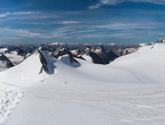
A spectacular day over the Pigne d'Arolla - the highest point reached on the Haute Route.
Moderate Alpine Climbing
5.2 km away
A long and beautiful day over a famous peak.
Moderate Alpine Climbing
9.3 km away
A true alpine classic with utterly spectacular views across the other 4000ers of the Swiss Valais.
Difficult Alpine Climbing

9 routes · Alpine Climbing · Hiking

10 routes · Alpine Climbing · Hiking
6 routes · Alpine Climbing · Hiking

20 routes · Alpine Climbing · Hiking
9 routes · Alpine Climbing · Hiking