5.9 km away
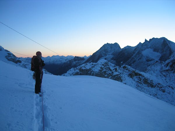
Haute Route Glacier Trek Day 7 - Cabane du Bertol to the Schönbiel Hut
A rugged day which takes you to within touching distance of Zermatt.
Moderate Alpine Climbing
- Distance
- 12 km
- Ascent
- 718 m
- Descent
- 1.3 km
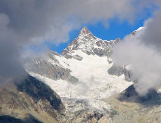
A true alpine classic with utterly spectacular views across the other 4000ers of the Swiss Valais.
Alpine Climbing Difficult

The most moderate route up a formidable peak, this is a rightly popular line. It's easier when dry but you can still climb it in snowy conditions if you're happy to deal with a bit more of a challenge.
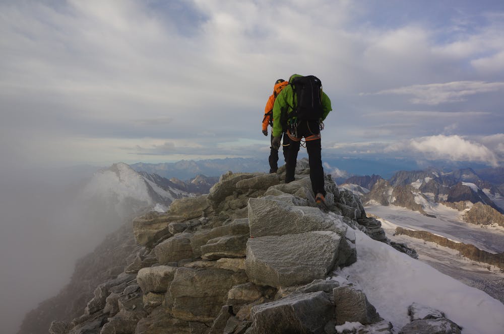
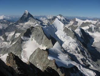
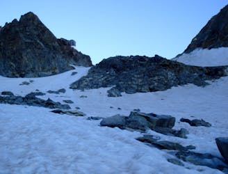
From the Dent Blanche hut, climb the ridge to the east, initially on the right and then back on the left to reach a snow ridge. Climb this onto a wide, snowy col called the Wandfluelücke. Hang a left and head up to the foot of the Dent Blanche South ridge proper.
Scramble up moderate terrain just left of the ridge crest to reach the first major obstacle on the route, the Grand Gendarme. There are 2 options to deal with the Grand Gendarme -
a) Climb the west face of the Grand Gendarme via 3 pitches up to 4b rock
or
b) Traverse to the left (west) of the Gendarme and then scramble via a snow/rock gully back onto the ridge crest on the far side of the Gendarme. There are some belay stakes in the gully to aid your passage. This option is much more popular than climbing the Grand Gendarme.
Once back on the ridge crest go up a cracked slab to the foot of a slabby tower. Climb directly up this (3b) for 40 metres or (if conditions are snowy) then traverse right across ledges and then rejoin the ridge via a steep groove.
You soon encounter another step which is climbed on its right, and then an exposed but easy section right on the narrow crest of the ridge. Climb the next step just to the left of the ridge crest to a little notch then go down slightly and traverse left to a rounded slab, which in turn leads to a corner.
Drift left across ledges and then stick to the ridge crest over fun, moderate terrain all the way to the summit. Reverse the route, mainly by downclimbing and also making the occasional abseil on the trickier sections.
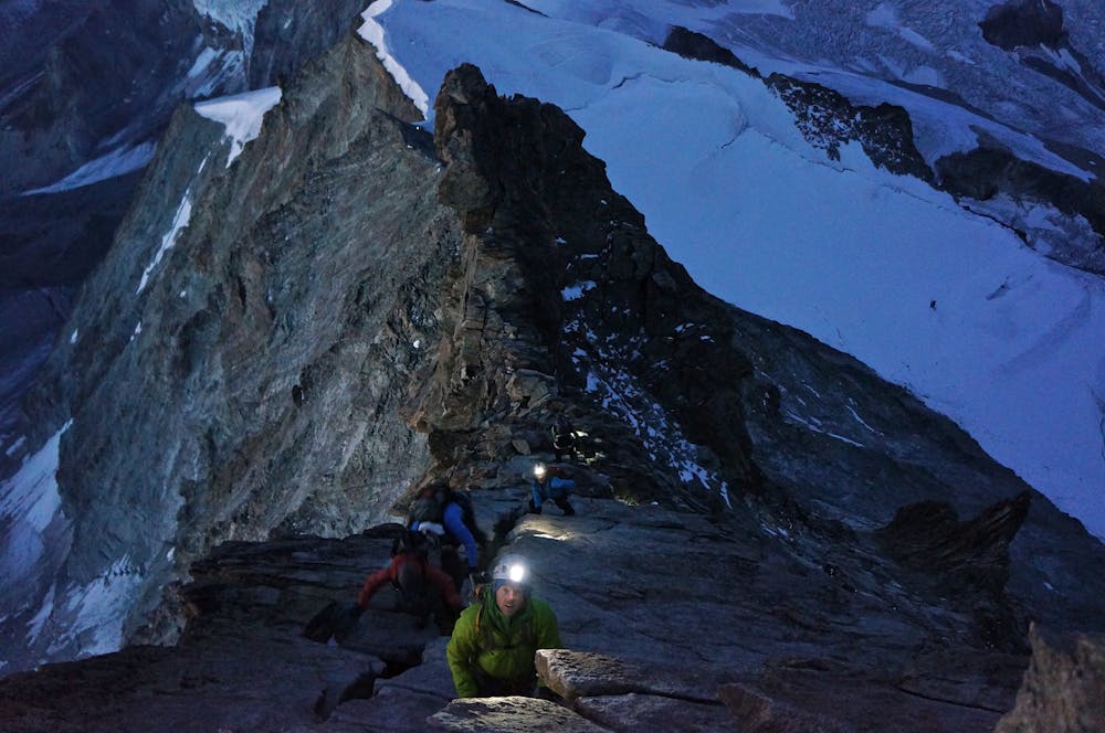
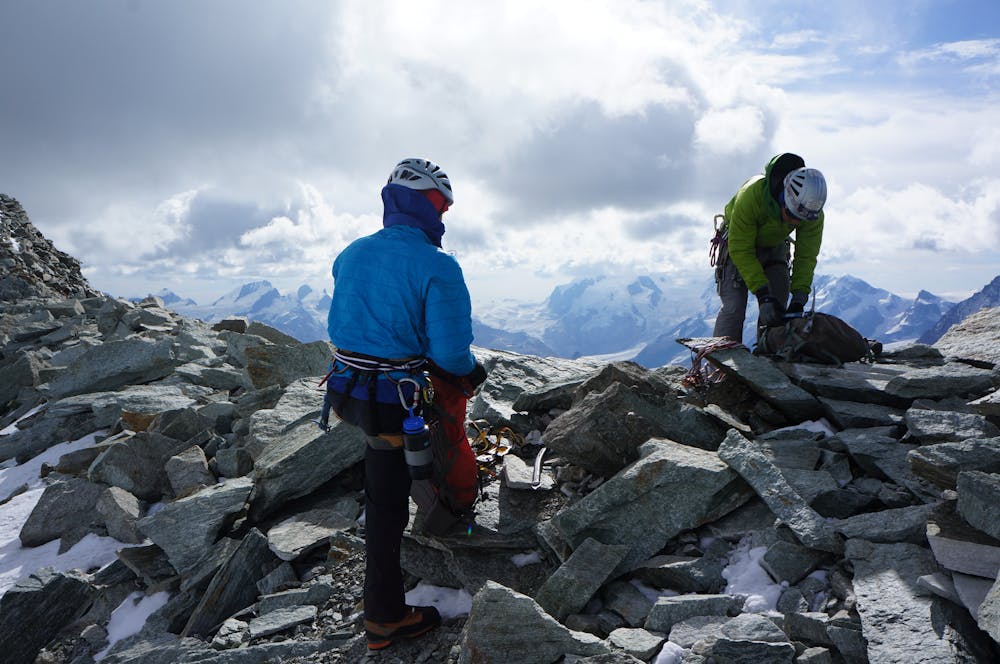
Difficult
The beginning of truly technical terrain which might involve pitched climbing on rock and/or ice, exposed terrain and complex route finding in ascent and descent. Equivalent to AD, AD+

Much of the route is difficult to protect and a fall could be disastrous at certain points.

In the high mountains or remote conditions, all individuals must be completely autonomous in every situation.
5.9 km away
A rugged day which takes you to within touching distance of Zermatt.
Moderate Alpine Climbing
5.9 km away

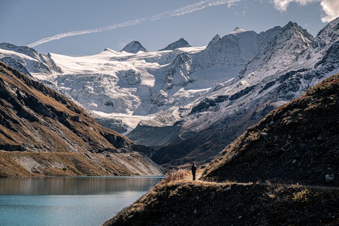
A straightforward high altitude glacial journey, with incredible views
Easy Alpine Climbing
7.3 km away
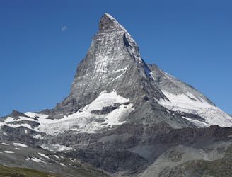
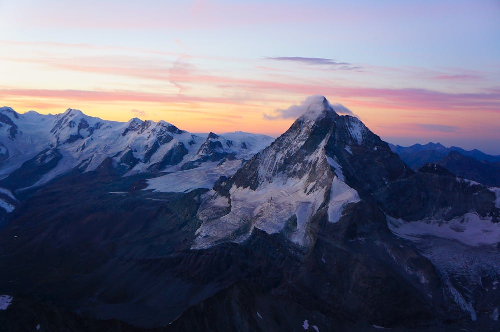
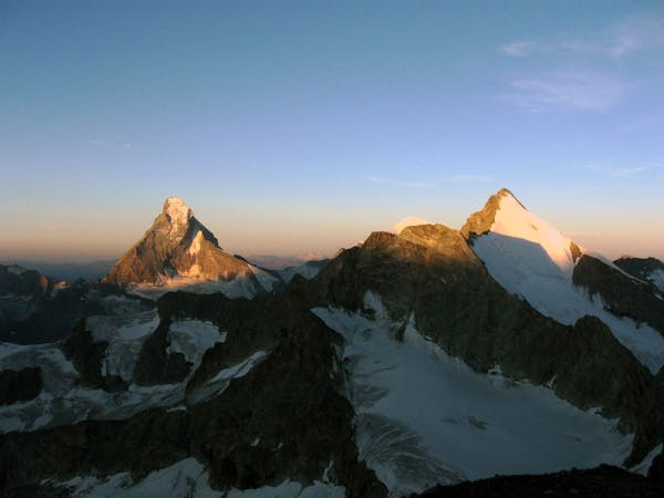
The least difficult route up the most famous mountain in the Alps, if not the world.
Difficult Alpine Climbing
7.8 km away
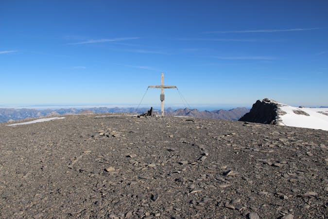
A classic journey over an incredibly well situated peak.
Moderate Alpine Climbing
7.9 km away
A brilliant low-grade alpine climb which features a bit of everything, from glacier travel to rocky scrambling.
Moderate Alpine Climbing
8.1 km away
A justifiably popular traverse of a beautiful mountain, on very good rock.
Difficult Alpine Climbing
8.1 km away
A beautifully shaped mountain, unusual in having its least difficult route via another summit.
Difficult Alpine Climbing
9.2 km away
A long and scenic walk up to an impressively positioned hut
Easy Alpine Climbing
9.3 km away
A lovely mountain walk initially to a col, followed by a steep descent down ladders, then across a glacier
Easy Alpine Climbing
6 routes · Alpine Climbing · Hiking

9 routes · Alpine Climbing · Hiking
4 routes · Alpine Climbing · Hiking

10 routes · Alpine Climbing · Hiking

6 routes · Alpine Climbing
6 routes · Alpine Climbing · Hiking

20 routes · Alpine Climbing · Hiking
9 routes · Alpine Climbing · Hiking