12 m away
Pointes de Mourti North-east Ridge
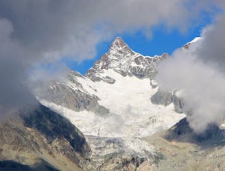
A brilliant low-grade alpine climb which features a bit of everything, from glacier travel to rocky scrambling.
Moderate Alpine Climbing
- Distance
- 7.8 km
- Ascent
- 750 m
- Descent
- 747 m
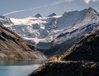
A classic journey over an incredibly well situated peak.
Alpine Climbing Moderate

For budding mountaineers, this is as good as low grade alpine climbing gets and will take you up, over and down a peak which enjoys a great panorama over bigger mountains which might become future objectives.
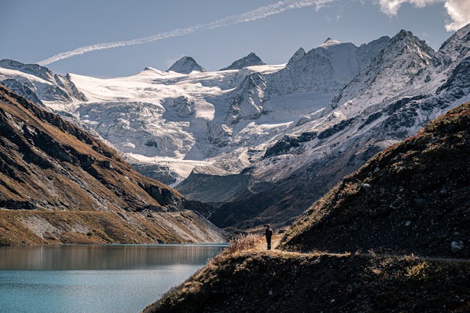
The trip starts at the Cabane de Moiry. Start by traversing south-east from the hut and then climbing up to the hanging Col du Pigne. Turn south and begin climbing up the appealing North ridge of the Pigne de la Lé.
The climbing on the ridge is never difficult but the rock quality is not always what it might be, so respect the route even if the moves are not particularly difficult. There are no moves harder than UIAA II provided you stick to the ridge crest or, on the few occasions you encounter anything too technical, just off to the right of the crest.
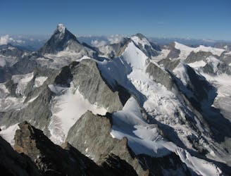
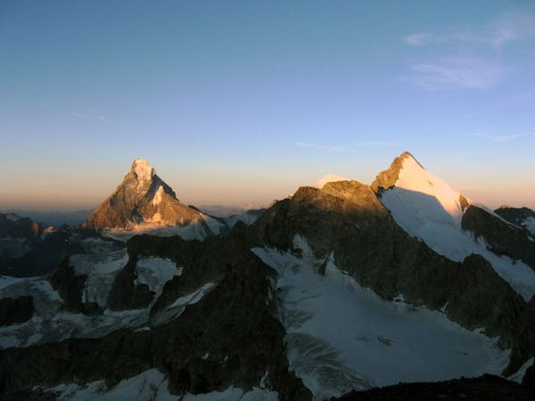
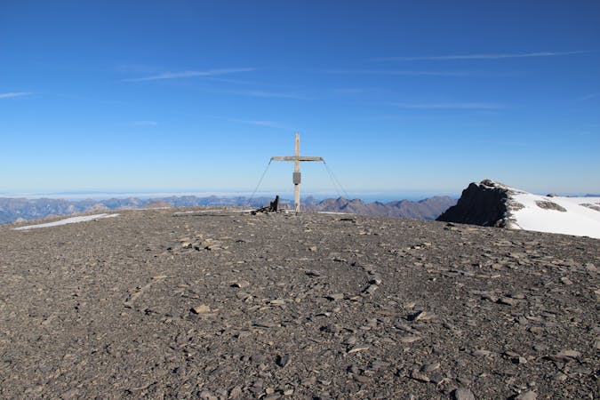
The ridge leads naturally onto the summit, and what a summit it is! The Zinal Rothorn is the closest major peak but plenty of the other legendary alpine 4000ers are visible and are likely to provide plenty of inspiration for future adventures.
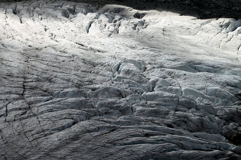
It's possible to descend the ascent route but a much better option is the route drawn here which takes you down the Pigne de la Lé's south-west flank. The descent down this route is essentially non-technical but there are 2 sections of 30 degree snow and a fall on them might, in the wrong conditions, be nasty. The flank is quite blunt most of the way, and leads you naturally down onto the Glacier de Moiry.
Descend the glacier, passing under first the south-west flank of the Pigne de la Lé and then under the mountains' west face. There is some rockfall danger under the west face so don't linger underneath it.
Exit the glacier and follow the path easily back to the Cabane de Moiry.
Moderate
May involve slightly more complex glacier hikes, easy but possibly long rock ridges and steep snow up to 45 degrees. Equivalent to PD, PD+

The route features some exposed and/or difficult to protect sections.
Away from help but easily accessed.
12 m away
A brilliant low-grade alpine climb which features a bit of everything, from glacier travel to rocky scrambling.
Moderate Alpine Climbing
7.8 km away
A classic, easy alpine route which has some crevasse danger, particularly late in the summer.
Easy Alpine Climbing
7.8 km away
A true alpine classic with utterly spectacular views across the other 4000ers of the Swiss Valais.
Difficult Alpine Climbing
9.2 km away
A beautifully shaped mountain, unusual in having its least difficult route via another summit.
Difficult Alpine Climbing
9.2 km away
A justifiably popular traverse of a beautiful mountain, on very good rock.
Difficult Alpine Climbing
6 routes · Alpine Climbing · Hiking

11 routes · Alpine Climbing · Hiking
4 routes · Alpine Climbing · Hiking

10 routes · Alpine Climbing · Hiking

20 routes · Alpine Climbing · Hiking
9 routes · Alpine Climbing · Hiking