4.1 km away
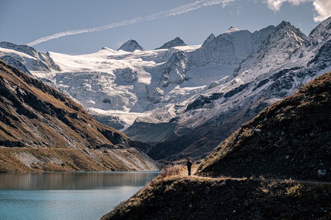
Bishorn North-west Flank
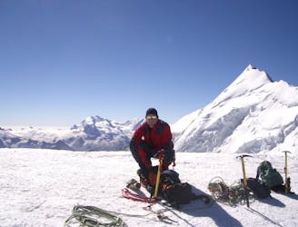
A classic, easy alpine route which has some crevasse danger, particularly late in the summer.
Easy Alpine Climbing
- Distance
- 9.3 km
- Ascent
- 913 m
- Descent
- 911 m
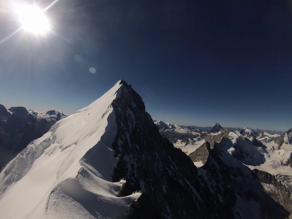
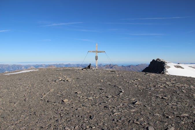
Überschreitung - Nordgrat - Ostgrat
Alpine Climbing Severe

This is a popular alpine climbing route which is generally considered to be severe. It's very remote, it features high exposure and is typically done between July and August. From a low point of 1.4 km to the maximum altitude of 4.5 km, the route covers 24 km, 2973 vertical metres of ascent and 3231 vertical metres of descent. You'll need ice axe, crampons, quickdraws, glacier kit and wires and friends to complete it safely.
Tourenbericht und Topo: https://www.suedtirolalpin.com/post/weisshorn-nordgrad-d--iv
www.suedtirolalpin.com
Severe
Steep, sustained and serious terrain on rock/ice. Routes will be long, exposed and possibly committing. D, D+

Much of the route is difficult to protect and a fall could be disastrous at certain points.
Little chance of being seen or helped in case of an accident.
4.1 km away
A classic, easy alpine route which has some crevasse danger, particularly late in the summer.
Easy Alpine Climbing
5.1 km away
A brilliant low-grade alpine climb which features a bit of everything, from glacier travel to rocky scrambling.
Moderate Alpine Climbing
5.2 km away
A classic journey over an incredibly well situated peak.
Moderate Alpine Climbing

11 routes · Alpine Climbing · Hiking
4 routes · Alpine Climbing · Hiking
9 routes · Alpine Climbing · Hiking