2.9 km away
Approach to Täsch Hut

A relatively short approach if you opt for the taxi, or a long cheap one
Moderate Hiking
- Distance
- 2.7 km
- Ascent
- 513 m
- Descent
- 0 m
Gentle walk up through the forest away from the road and the train line to Zermatt
Hiking Easy

A gentle walk up from the village just north of Zermatt; Täsch. The walk meanders a little, with nothing too steep, through the forest to the right of the train line as it heads up to Zermatt, and pops out onto the local sheep and goat pasture land affording the first views of Zermatt. You continue past the heliport and train station and finish just beyond, perfect for a stop at one of the local cafes.
Easy
Walking along a well-kept trail that’s mostly flat. No obstacles are present.
2.9 km away
A relatively short approach if you opt for the taxi, or a long cheap one
Moderate Hiking
3.9 km away
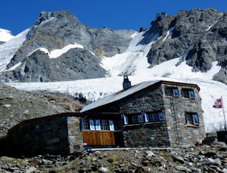
A bruiser of a hut approach, but in a beautiful environment.
Severe Hiking
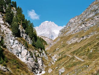
3.9 km away

A lovely but long walk through the forest with panoramic views of the 4000m giants
Difficult Hiking
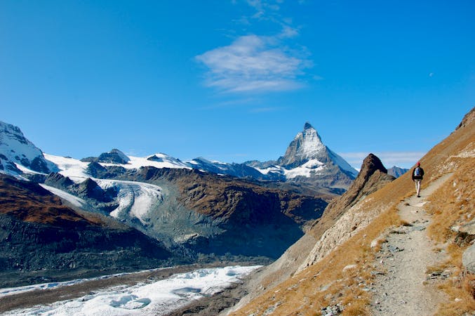
5.4 km away
A tough climb from a classic alpine village to a classic alpine hut.
Difficult Hiking
10 routes · Hiking

10 routes · Alpine Climbing · Hiking

10 routes · Alpine Climbing · Hiking

9 routes · Alpine Climbing · Hiking

20 routes · Alpine Climbing · Hiking