4.3 km away
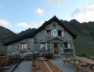
Haute Route Glacier Trek Day 3 (Part 2) - Mauvoisin to the Cabane de Chanrion.
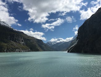
A lovely walk past the Lac de Mauvoisin up to a well-positioned hut.
Difficult Hiking
- Distance
- 10 km
- Ascent
- 1 km
- Descent
- 387 m
This bisse was built in 2010. The environment of this bisse is very alpine. It can be traversed in a loop by taking the spectacular footbridge that spans the last glacier tongue of the Corbassière glacier.The climb from Fionnay to join the bisse is rough, but once arrived, the landscape is so beautiful that we forget the effort.
Hiking Difficult

The climb from Fionnay to join the bisse is rough, but once arrived, the landscape is so beautiful that we forget the effort.The bisse itself is not very long (about 1, 5 km), however the hike loop to Brunet hut or return to Fionnay represents between 10 and 15 km with a significant drop.
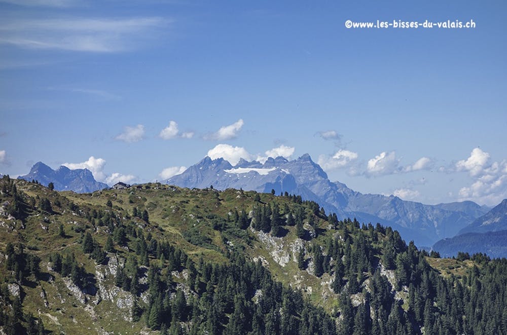

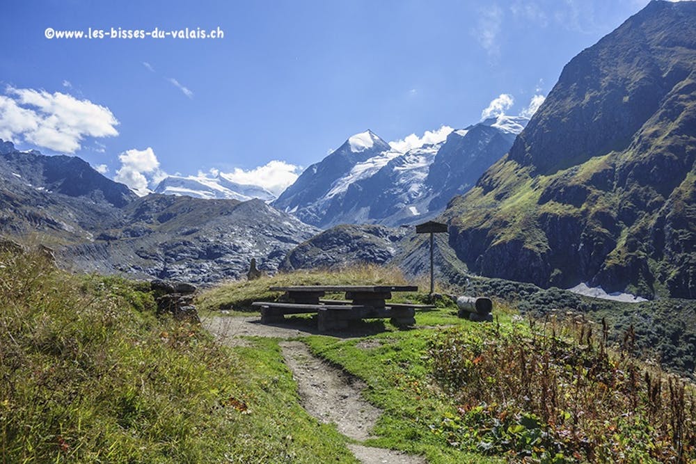
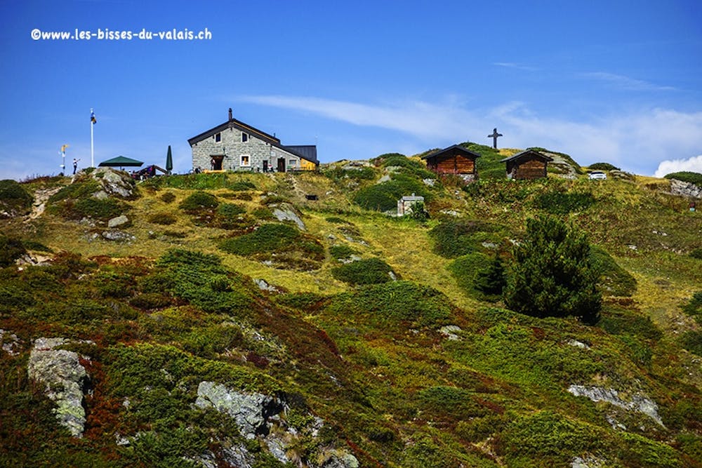
Opposite the Fionnay postal station, cross the bridge and follow the road "Tête de Fionnay" on the right for about 150 meters until you see the hiking trail on the left of the road. Follow this path that goes up slightly at first through a meadow. At the end of this meadow, the path begins to climb very steep until « Vers le Grenier de Corbassière". The general management is "Panossière hut". The bisse begins at a place called "Les Creux" just after a magnificent picnic table, from which you will have a magnificent panorama of the Grand Combin and Combin de Corbassière. When you reach the end of the bisse at "Les Plans", you still have 30 minutes of climb to the junction "Panossière hut, Brunet hut and Corbassière footbridge". When you reached and crossed the bridge you made the most difficult. You can reach the Brunet hut by two routes, whether you follow the eastern side of the Becca de Sery to get around La Maye and join the Brunet hut (marked route), either you start the climb for the Avouillons pass and join the Brunet hut on the west side of Becca de Sery. If you opt for this second variant you start a difficult climb and a descent also difficult! Once at the Brunet hut restore before you start the descent on Fionnay.
Easier variant
Rather than leaving Fionnay, you use two vehicles. You leave the first vehicle to Fionnay and you go up to the Brunet hut with the second vehicle. From the Brunet hut you make the course in the opposite direction of the difficult variant to join Fionnay. You will have 1100 vertical meters downhill for 500 meters uphill. The general direction since Brunet is "Panossière hut" and after the bridge "Fionnay". As for the difficult route you can pass bypassing La Maye and the Becca de Sery (easy route) by the pass of Avouillons (+ 600 meters of positive elevation).
Difficult
Hiking trails where obstacles such as rocks or roots are prevalent. Some obstacles can require care to step over or around. At times, the trail can be worn and eroded. The grade of the trail is generally quite steep, and can often lead to strenuous hiking.
4.3 km away
A lovely walk past the Lac de Mauvoisin up to a well-positioned hut.
Difficult Hiking
7.7 km away
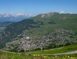
A short walk Around La Chaux including Cabane Mont Fort.
Moderate Hiking
7.7 km away
A gentle walk along a mostly flat route with the sound of running water alongside you for the entirety.
Easy Hiking
5 routes · Hiking

9 routes · Alpine Climbing · Hiking