1 km away
Ruinettes-La Chaux-Cabane Mont Fort-Ruinettes
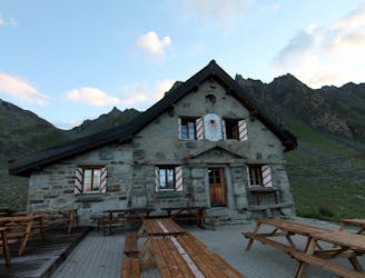
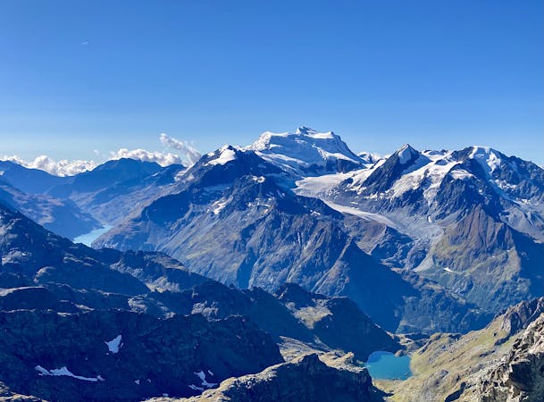
A short walk Around La Chaux including Cabane Mont Fort.
Moderate Hiking
- Distance
- 9 km
- Ascent
- 419 m
- Descent
- 420 m
Built around 1460, this bisse contains water along its entire length which is unusual for a bisse at such altitude.
Hiking Moderate

Departure
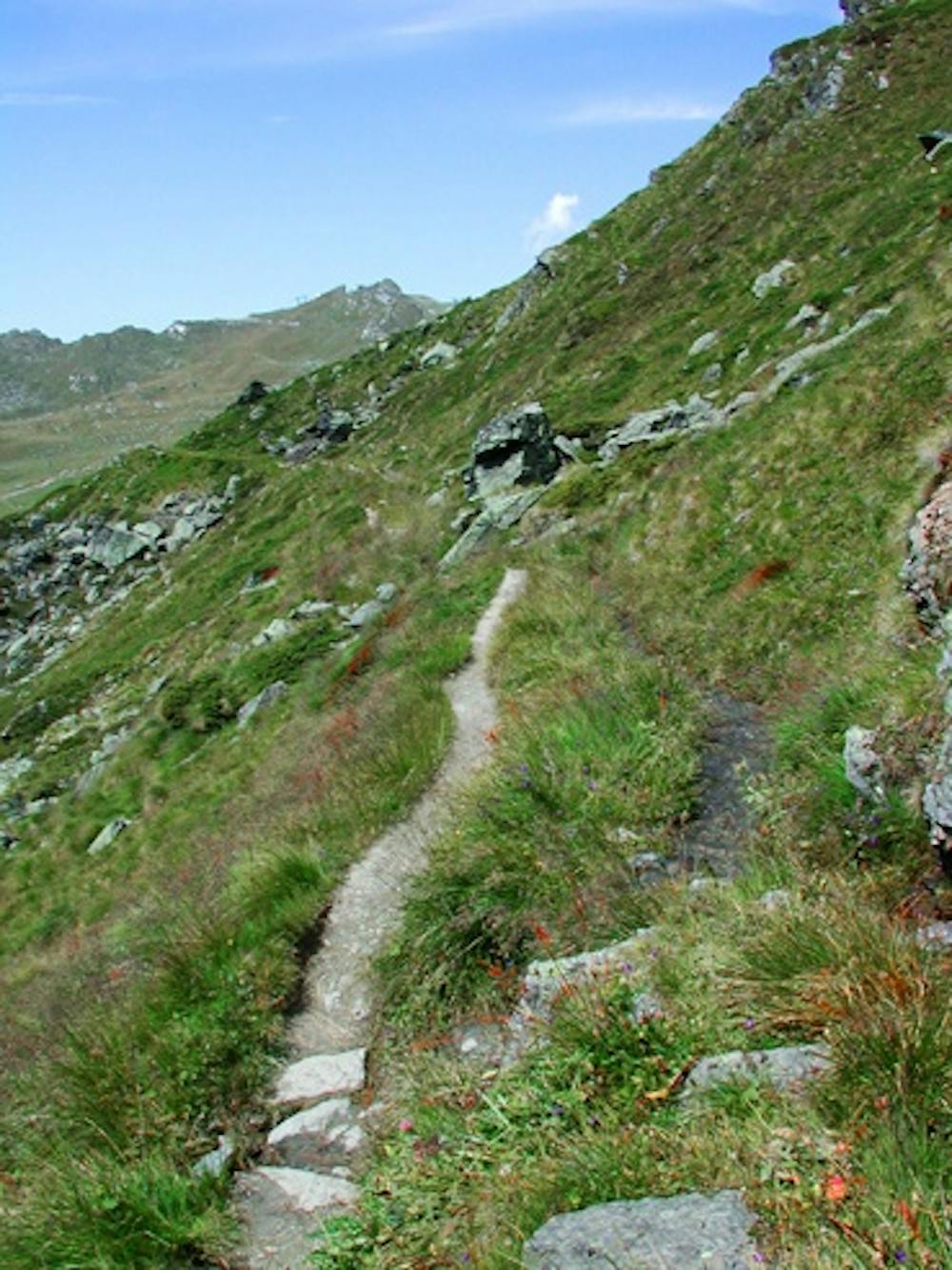
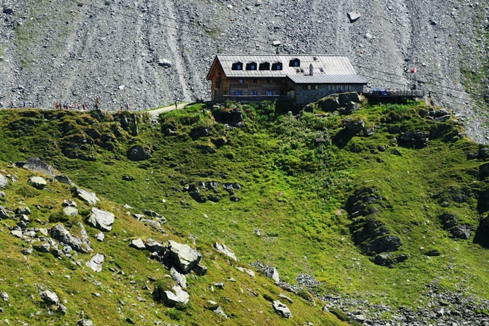
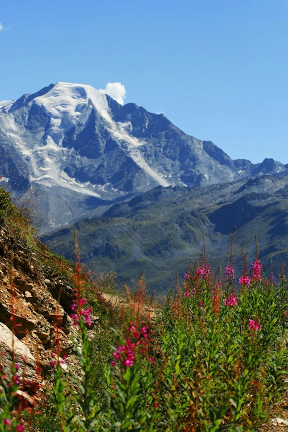
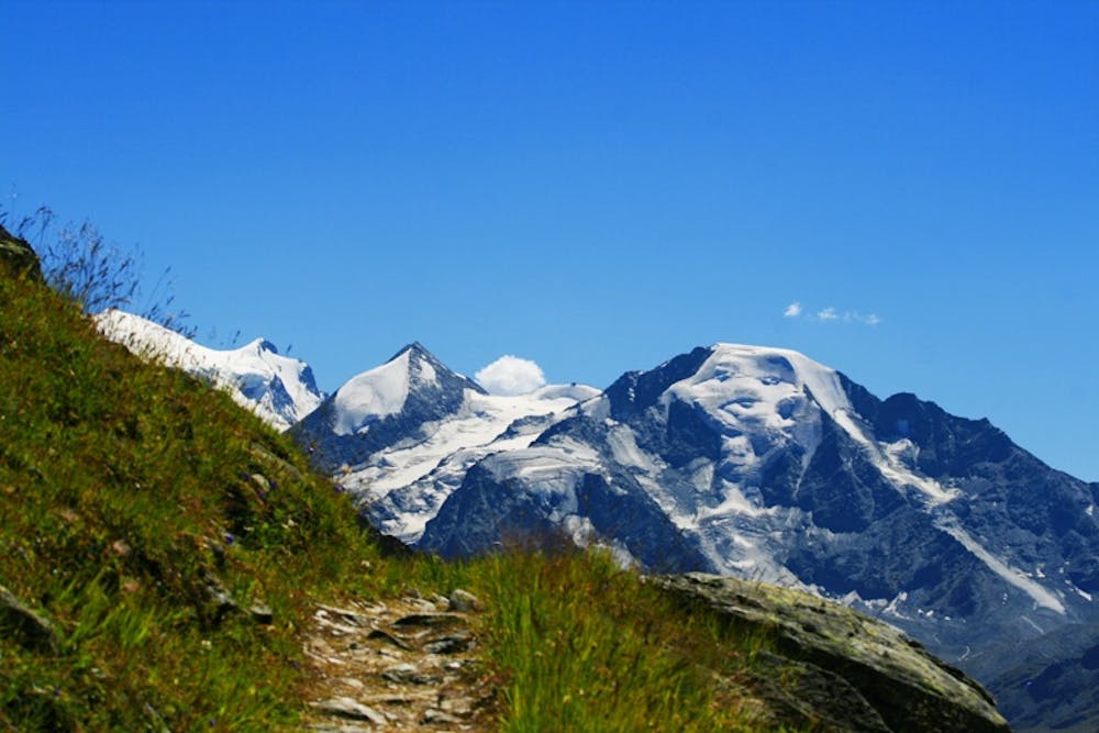
From Verbier, take the gondola to the top of the Ruinettes. Then take the Chaux Express gondola and disembark at the intermediate station. Follow the steep path north-east on a ridge. At the foot of the ridge you will reach a three-way intersection. Take the road ascending across the pastures to the east to reach the south-facing rubble slope. From here join the summit of the La Chaux 2 ski-lift. Follow the trail across rubble and sediment in the direction of the Cabane de Mont Fort. Do not follow the path to Mont Fort et Col des Gentianes. The trail follows the south-facing slope at its base.
Itinerary
Below the Cabane de Mont Fort you will reach the Bisse de Levron which you can follow to the Ruinettes. You can continue along the bisse below the Ruinettes to where it falls away and then continue to Verbier on foot. You are advised to wear good hiking boots and take warm clothing. Even in very good weather it can be chilly at 2500 metres altitude.
Moderate
Hiking along trails with some uneven terrain and small hills. Small rocks and roots may be present.
1 km away
A short walk Around La Chaux including Cabane Mont Fort.
Moderate Hiking
1 km away
A gentle walk along a mostly flat route with the sound of running water alongside you for the entirety.
Easy Hiking
4.6 km away
A medium to long walk via Pierre Avoi and Chute des Bisse across a fantastic ridge line that ends at a 360 view of Val de Bagnes and the Rhone Valley.
Difficult Hiking
5 routes · Hiking