3 km away
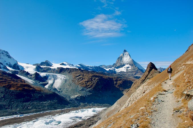
Approach to the Rothorn Hut
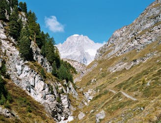
A tough climb from a classic alpine village to a classic alpine hut.
Difficult Hiking
- Distance
- 7.4 km
- Ascent
- 1.6 km
- Descent
- 18 m
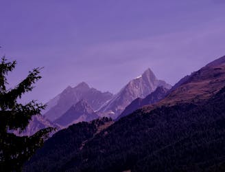
A pretty walk along the ridge line of the face towards Blauherd. There's no tree cover and the path does drop away steeply to the right, so avoid this if you suffer from fear of heights!
Hiking Moderate

The path in German is called the Marmot path, as there are many marmots to be seen especially as you walk on the right hand side of the ridge. You can hear them whistling to each other, just make sure you don’t lose your footing as you are looking around; the drop is a little precipitous in places.
Moderate
Hiking along trails with some uneven terrain and small hills. Small rocks and roots may be present.
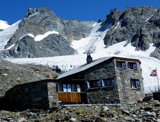
3 km away
A tough climb from a classic alpine village to a classic alpine hut.
Difficult Hiking
5 km away
A relatively short approach if you opt for the taxi, or a long cheap one
Moderate Hiking
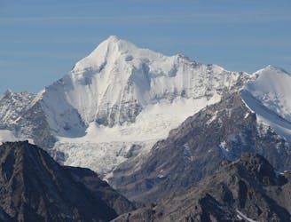
9.2 km away
A bruiser of a hut approach, but in a beautiful environment.
Severe Hiking
9.2 km away
A lovely but long walk through the forest with panoramic views of the 4000m giants
Difficult Hiking
10 routes · Hiking

10 routes · Alpine Climbing · Hiking

10 routes · Alpine Climbing · Hiking

9 routes · Alpine Climbing · Hiking

20 routes · Alpine Climbing · Hiking