1.5 km away
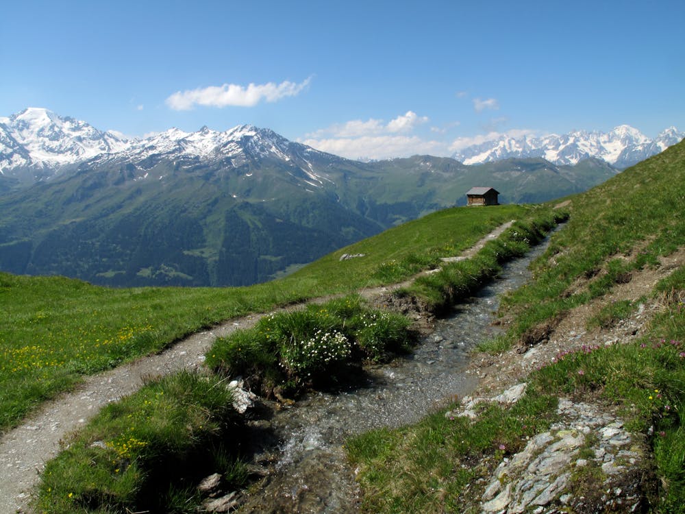
Bisse du Levron
A gentle walk along a mostly flat route with the sound of running water alongside you for the entirety.
Easy Hiking
- Distance
- 18 km
- Ascent
- 457 m
- Descent
- 457 m
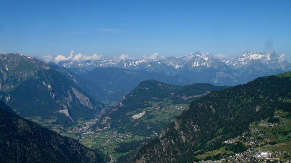
A medium to long walk from the top of Verbier along marked roads via Les plannards and Croix De Coeur.
Hiking Moderate

An enjoyable walk ascending almost 500 metres, but the majority of the walk is flat. Taking in the views of Verbier from Carrefour you take the road (which is only drivable in summer) towards Les Plannards and the restaurant Le Marmotte. This is a gradual incline until you reach the path at Les Planards that takes you to just below Croix des Couer. From there you follow the fire road track with panoramic views of Verbier until reaching the lift station at Ruinettes.
Moderate
Hiking along trails with some uneven terrain and small hills. Small rocks and roots may be present.
1.5 km away
A gentle walk along a mostly flat route with the sound of running water alongside you for the entirety.
Easy Hiking
1.5 km away
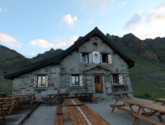
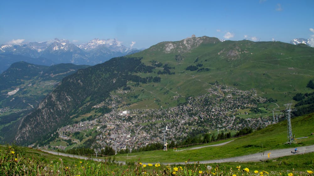
A short walk Around La Chaux including Cabane Mont Fort.
Moderate Hiking
2.3 km away
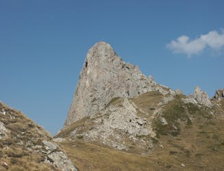
A medium to long walk via Pierre Avoi and Chute des Bisse across a fantastic ridge line that ends at a 360 view of Val de Bagnes and the Rhone Valley.
Difficult Hiking
5 routes · Hiking