974 m away
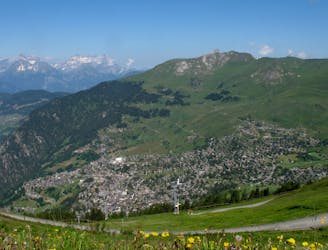
Savoleyeres - Patier
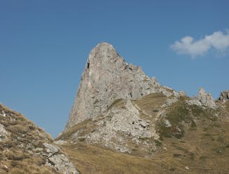
A medium to long walk via Pierre Avoi and Chute des Bisse across a fantastic ridge line that ends at a 360 view of Val de Bagnes and the Rhone Valley.
Difficult Hiking
- Distance
- 7.7 km
- Ascent
- 309 m
- Descent
- 1 km
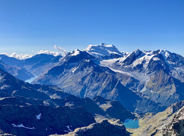
A high alpine walk along beautiful ridge lines, past water falls to the stunning Lac des Veux.
Hiking Moderate

When leaving the lift station at Savoleyers you have a spectacular view over to the sion valley and over to Verbier. The path then descends 180 meters to the restaurant of Croix de coeur, from here on out you start to gain in elevation and walk just below the ridgeline of Tete des Etablons, High among the avalanche barriers you continue to Col des mines. With stunning views over Verbier and also over towards La Tzoumaz. As you join a much larger walkway heading towards Lac des Vaux you will walk past a large waterfall. As you reach the final ascent to the lake you have a beautiful running stream to your right. As you reach the top you appearing first in the small lake but as you reach the corner the stunning Lac des Vaux can be seen.
Moderate
Hiking along trails with some uneven terrain and small hills. Small rocks and roots may be present.
974 m away
A medium to long walk via Pierre Avoi and Chute des Bisse across a fantastic ridge line that ends at a 360 view of Val de Bagnes and the Rhone Valley.
Difficult Hiking
4.4 km away
A gentle walk along a mostly flat route with the sound of running water alongside you for the entirety.
Easy Hiking
4.4 km away
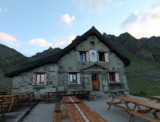
A short walk Around La Chaux including Cabane Mont Fort.
Moderate Hiking
5 routes · Hiking