2.7 km away
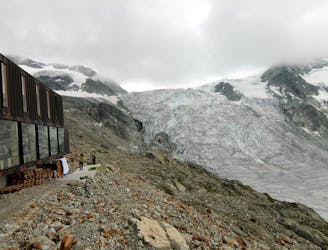
Approach to the Tracuit Hut

A long, tough and incredibly scenic hike which is popular as a day tour, not just as an approach.
Difficult Hiking
- Distance
- 6.9 km
- Ascent
- 1.5 km
- Descent
- 0 m
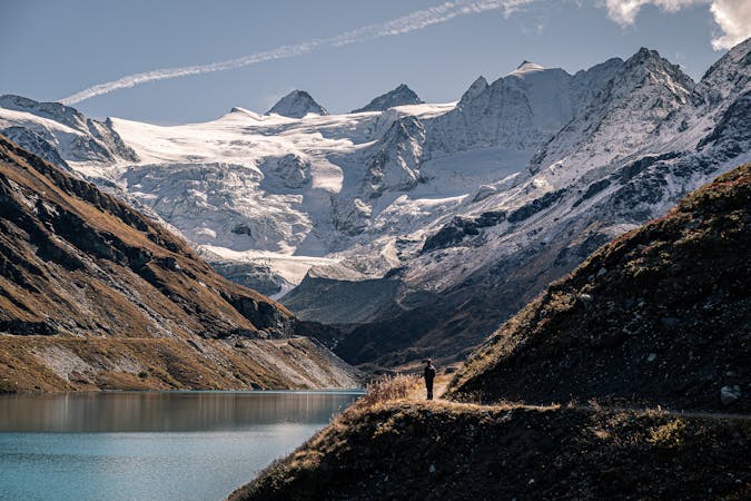
Sorebois - Cabane de Moiry
Hiking Moderate

This is a popular hiking route which is generally considered to be moderate. It's remote, it features medium exposure and is typically done between June and September. From a low point of 2.4 km to the maximum altitude of 2.9 km, the route covers 12 km, 1030 vertical metres of ascent and 642 vertical metres of descent.
Sorebois - Cabane de Moiry
Moderate
Hiking along trails with some uneven terrain and small hills. Small rocks and roots may be present.

The trail contains some obstacles such as outcroppings and rock which could cause injury.
Away from help but easily accessed.
2.7 km away
A long, tough and incredibly scenic hike which is popular as a day tour, not just as an approach.
Difficult Hiking
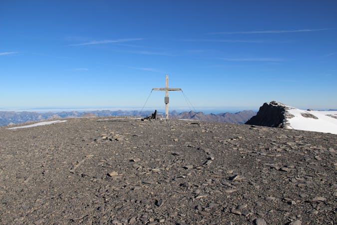
4.6 km away
A short and scenic trip up to a beautiful and unique mountain hut.
Moderate Hiking

11 routes · Alpine Climbing · Hiking
4 routes · Alpine Climbing · Hiking
9 routes · Alpine Climbing · Hiking