1.8 km away
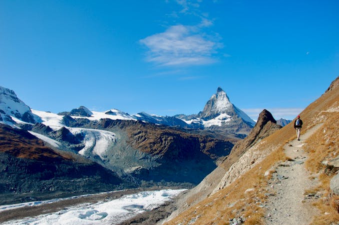
Approach to the Rothorn Hut
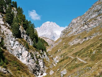
A tough climb from a classic alpine village to a classic alpine hut.
Difficult Hiking
- Distance
- 7.4 km
- Ascent
- 1.6 km
- Descent
- 18 m
A pretty and picturesque easy walk up to the Sunnegga station
Hiking Moderate

The start of the walk you will probably be sharing with a few farm vehicles and downhill bikers but for that the route is easy underfoot and a lovely way to spend a relaxed day without too much routefinding. There are also some great restaurants along the way including Ried, and Ottmar’s Hütte, although we would however recommend giving Tufternalp a wide berth - poor service and poor food. The view is lovely though!
Moderate
Hiking along trails with some uneven terrain and small hills. Small rocks and roots may be present.
1.8 km away
A tough climb from a classic alpine village to a classic alpine hut.
Difficult Hiking
5.6 km away
A relatively short approach if you opt for the taxi, or a long cheap one
Moderate Hiking
9.2 km away
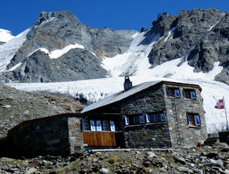
A bruiser of a hut approach, but in a beautiful environment.
Severe Hiking
9.3 km away
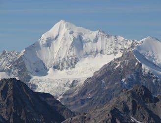
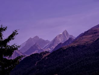
A lovely but long walk through the forest with panoramic views of the 4000m giants
Difficult Hiking
10 routes · Hiking

10 routes · Alpine Climbing · Hiking

10 routes · Alpine Climbing · Hiking

9 routes · Alpine Climbing · Hiking

20 routes · Alpine Climbing · Hiking