Posettes Loop from Chamonix
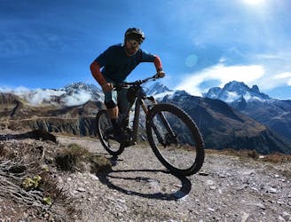
An epic loop ride with a stunning high alpine singletrack traverse as a reward
Severe Mountain Biking
- Distance
- 32 km
- Ascent
- 1.2 km
- Descent
- 1.2 km
An easy tour through Chamonix valley, followed by two hard and long climbs to Lax des Champex.
Also in Haute-Savoie, France
Mountain Biking Moderate

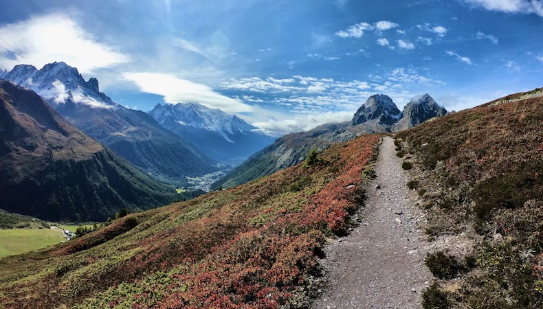
The Tour du Mont Blanc, also known as the TMB, is one of the most popular long-distance hikes in the world. The route circles the entire Mont Blanc Massif, which rises to a height of 4,808 meters above sea level—the highest point in Western Europe and the European Union. The hiking route covers "a distance of roughly 170 kilometres (110 mi) with 10 kilometres (6.2 mi) of ascent/descent and passes through parts of Switzerland, Italy and France,” according to Wikipedia.
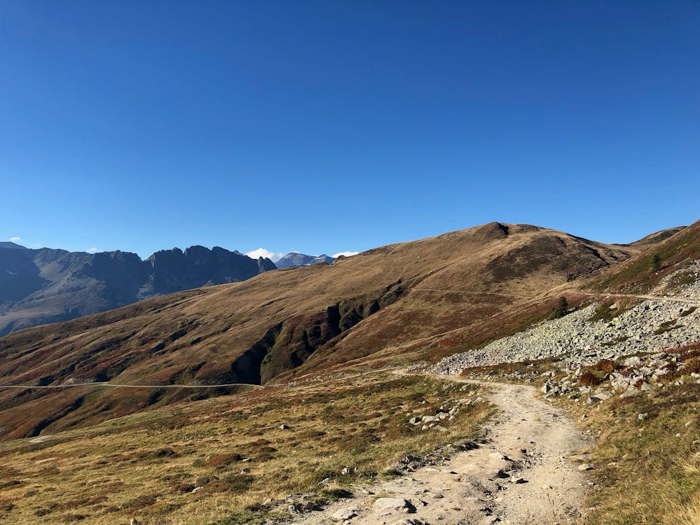
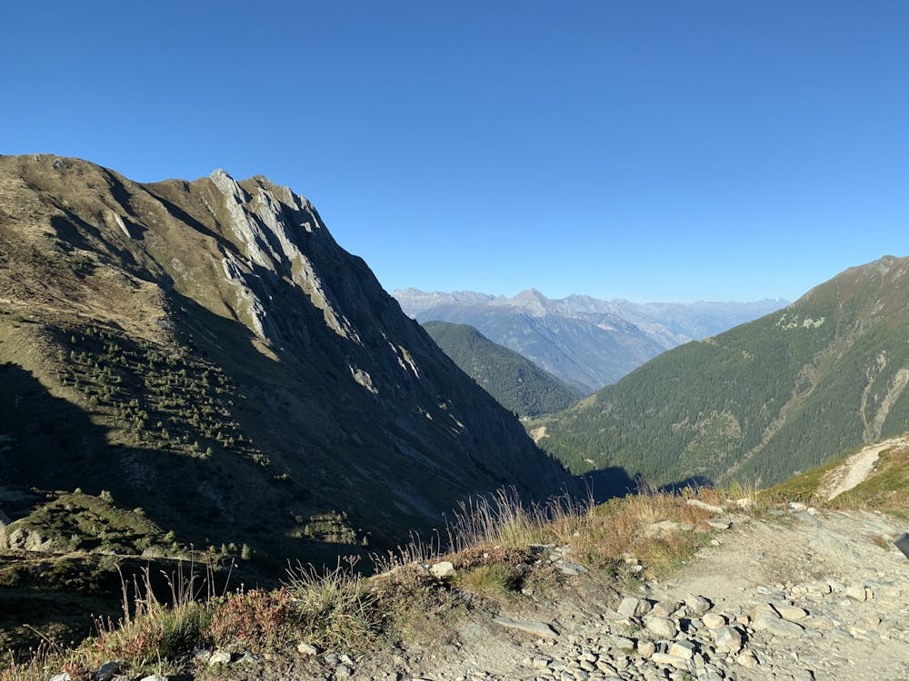
While the TMB doesn’t climb to the summit of Mont Blanc, the route climbs up and over numerous high alpine passes, providing stunning views in all directions! Thanks to a well-developed system of huts, along with towns and hotels along the route, there are numerous options for staying overnight and resupplying as you journey around the loop.
Unlike the hiking version of the TMB, the mountain biking version of this route isn’t nearly as well defined. Instead, riders can choose from numerous route variants. For this variant we tried to optimise for maximum time in the saddle, and minimum time carrying your bike. This means the tour has several longer segments of paved road, particularly on the climbs.
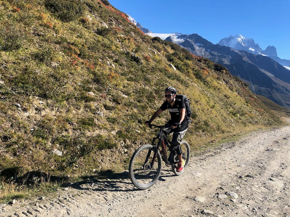
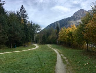
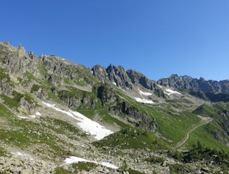
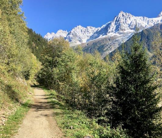
Start in Chamonix, and head northeast through the valley past Agentiere and on to Le Tour. Here you'll start the first long climb to the first pass at Col de Balme. This is also the border to Switzerland—make sure you have your passport!
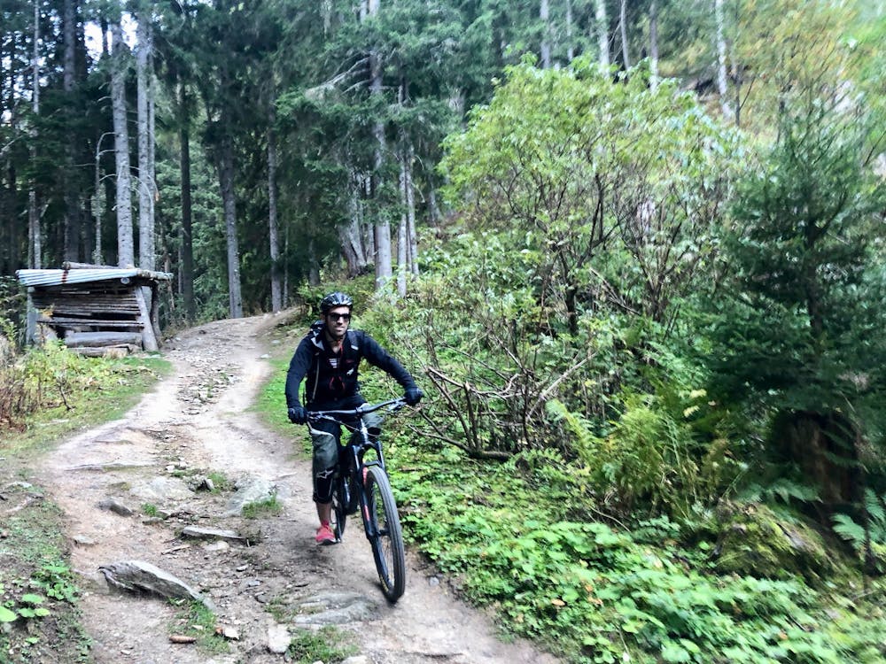
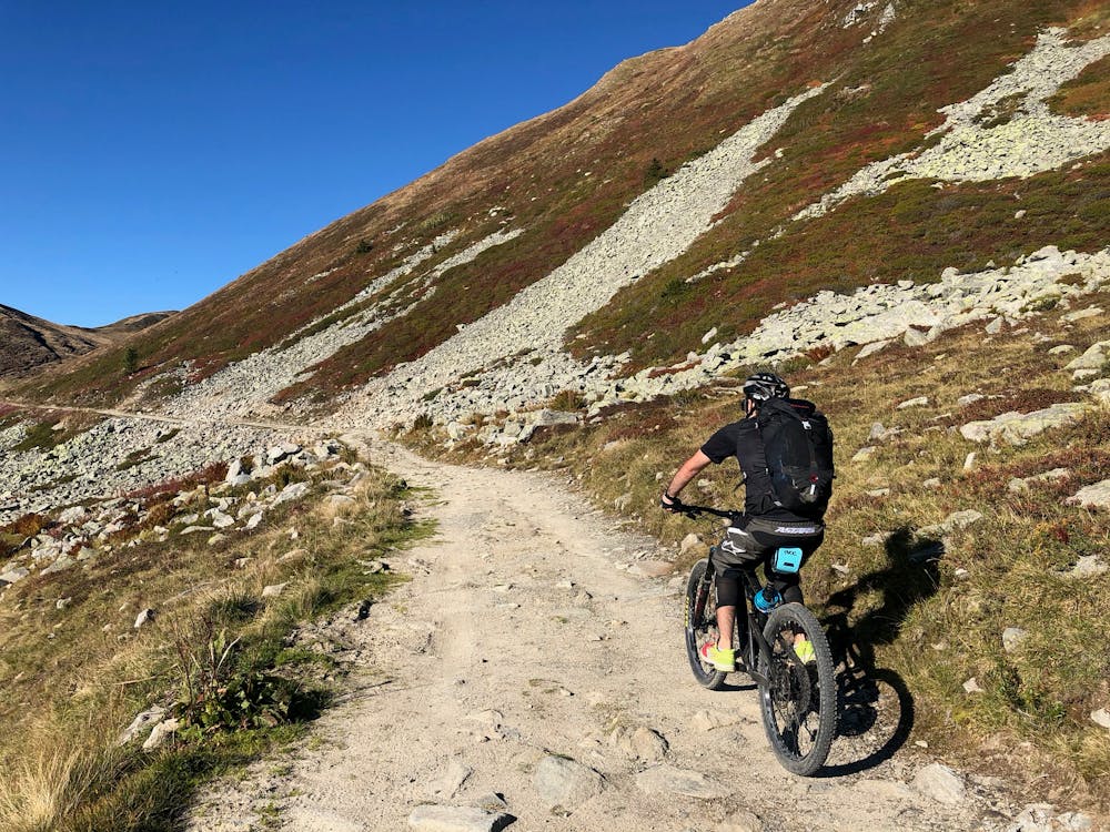
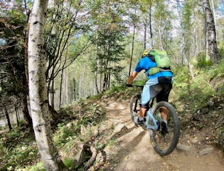
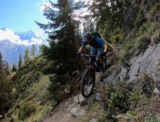
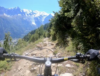
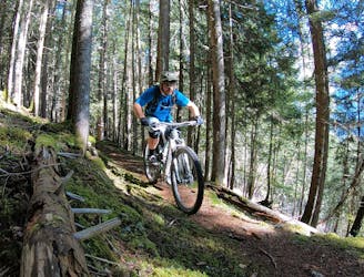
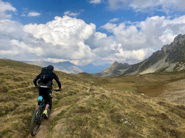
The first big descent is a very rocky singletrack. There are some tight hairpin turns and exposed sections. Watch out for a couple of steep steps.
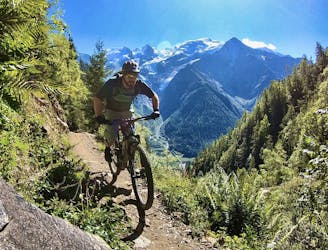
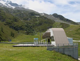
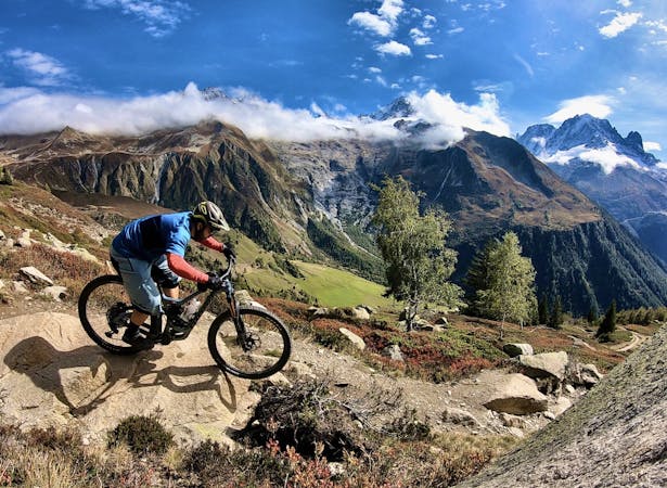
At the bottom you'll have a short flat ride through the valley, passing to the east of the small village of Peuty. From there you'll start the next shorter climb to Col de la Forclaz. Stop here for a snack and a drink before continuing the descent on the road to Les Rappes. There's a few sections of offroad singletrack on the way down, or you can stick to the road if you're feeling tired.
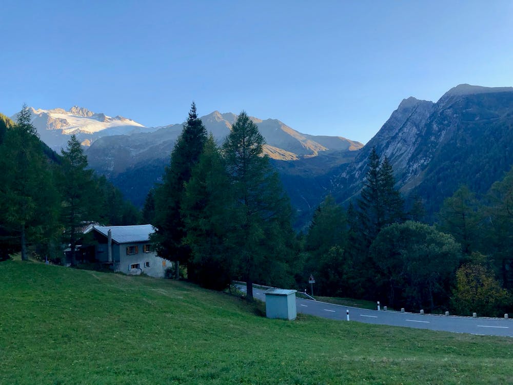
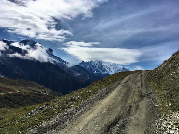
From the bottom you'll start your last long climb to Champex. This one is about 1000m of vertical, all on the road. It's a rather long, unforgiving climb, especially on a mountain bike—but the view of the lake at the top is worth it!
Moderate
Mostly stable trail tread with some variability, with unavoidable obstacles 8in/20cm tall or less. Other obstacles such as rock gullies and steep sections may exist. Ideal for lower intermediate riders.

The trail contains some obstacles such as outcroppings and rock which could cause injury.
Away from help but easily accessed.
An epic loop ride with a stunning high alpine singletrack traverse as a reward
Severe Mountain Biking
1 m away
A classic loop around Chamonix that's approachable for intermediate riders.
Difficult Mountain Biking
408 m away
The easiest mountain bike ride in Chamonix.
Easy Mountain Biking
886 m away
A quick hit of singletrack gnar accessible directly from downtown Chamonix.
Severe Mountain Biking
934 m away
If the lifts are closed or you have a motor attached to your bike, use this loop route to access Charlanon.
Severe Mountain Biking
1.6 km away
An ultra-technical switchbacked descent from the Planpraz lift.
Extreme Mountain Biking
1.6 km away
Brevent’s only designated mountain bike trail, this enduro-style descent on fully natural singletrack is sure to test even the best riders.
Severe Mountain Biking
3.7 km away
An iconic Chamonix singletrack descent.
Severe Mountain Biking
6.8 km away
A great loop through terrain which is busy in winter but pleasantly quiet in summer.
Moderate Mountain Biking
7 km away
Mostly smooth, flowy singletrack trails rolling through deep forests.
Moderate Mountain Biking
4 routes · Mountain Biking
14 routes · Mountain Biking
4 routes · Mountain Biking · Gravel Biking
4 routes · Mountain Biking · Gravel Biking
5 routes · Mountain Biking