334 m away
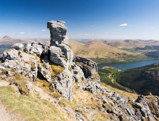
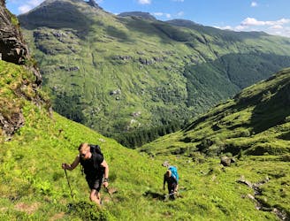
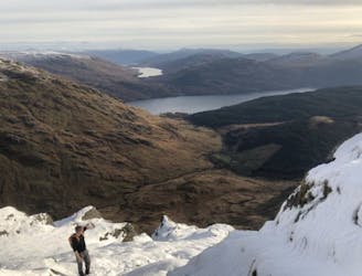
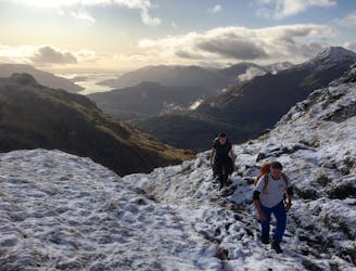
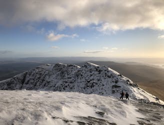
Beinn Narnain (926m), Beinn Ìme (1,011m) and The Cobbler (884m)
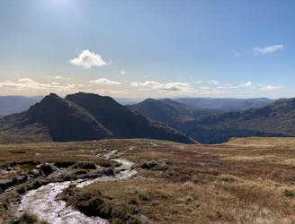
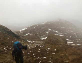
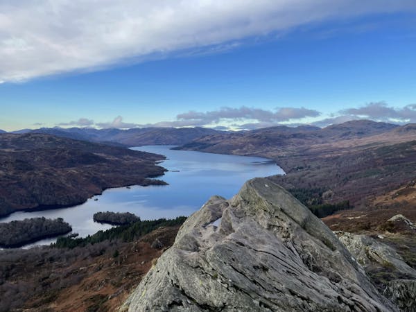
A big day, a big car park fee and a big load of tourists, but beat that and you'll have fantastic hike on three local area classics!
Difficult Hiking
- Distance
- 15 km
- Ascent
- 1.6 km
- Descent
- 1.6 km