23 m away
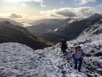
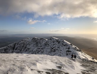
The Cobbler / Beinn Artair
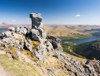
A justly popular up one of Scotland's most recognisable mountains
Difficult Hiking
- Distance
- 11 km
- Ascent
- 862 m
- Descent
- 862 m
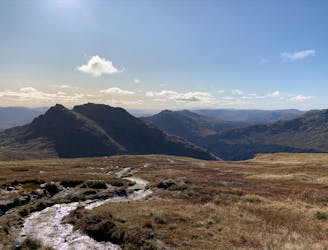
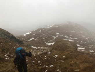
Both Munroes in a broadly circular route. Beinn Ime optional as a there and back
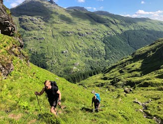
Hiking Severe

This is a popular hiking route which is generally considered to be severe. It's very remote, it features high exposure and is typically done in January, February, June, July, August, September and December. From a low point of 4 m to the maximum altitude of 1 km, the route covers 15 km, 1311 vertical metres of ascent and 1311 vertical metres of descent.
Bit of an exposed scramble up Narnain to start followed by an easy if a little boggy there and back to Beinn Ime. Great views of the Cobbler and surrounding hills.
Severe
Hiking challenging trails where simple scrambling, with the occasional use of the hands, is a distinct possibility. The trails are often filled with all manner of obstacles both small and large, and the hills are very steep. Obstacles and challenges are often unexpected and can be unpredictable.

Some trail sections have exposed ledges or steep ascents/descents where falling could cause serious injury.
Little chance of being seen or helped in case of an accident.
23 m away
A justly popular up one of Scotland's most recognisable mountains
Difficult Hiking
59 m away
A big day, a big car park fee and a big load of tourists, but beat that and you'll have fantastic hike on three local area classics!
Difficult Hiking
2.8 km away
Simple and effective, without sacrificing the view!
Difficult Hiking
5 km away
Short and stubborn, a great hike nonetheless
Difficult Hiking
5 km away
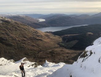
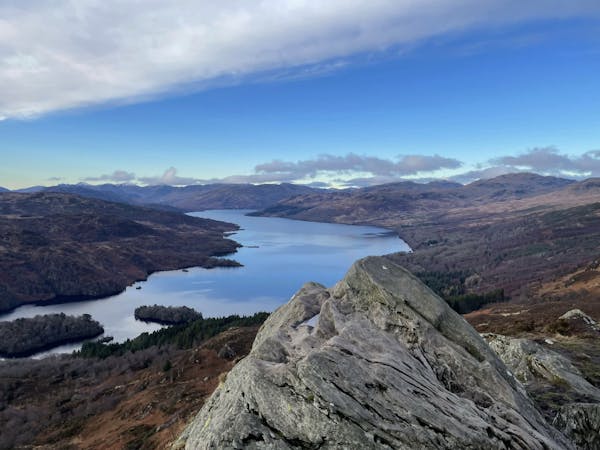
A relentless ascent but well worth it for this Loch Lomond classic!
Difficult Hiking
7.2 km away
A wild, rugged, and isolated landscape. Be prepared for a grind.
Difficult Hiking
9 km away
Fantastic views of Loch Lomond and beyond!
Difficult Hiking
12 routes · Hiking