8 m away
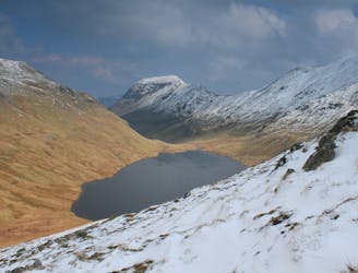
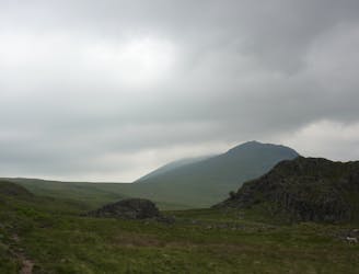
Bowfell and Crinkle Crags
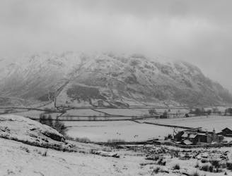
This Cumbrian crowd-pleaser is an oldie, but a goodie.
Severe Hiking
- Distance
- 14 km
- Ascent
- 956 m
- Descent
- 924 m
Pike of Blisco, Cold Pike, Crinkle Crags, Bowfell
Hiking Moderate

This is a popular hiking route which is generally considered to be moderate. It's remote, it features medium exposure and is typically done between March and November. From a low point of 96 m to the maximum altitude of 896 m, the route covers 17 km, 1288 vertical metres of ascent and 1289 vertical metres of descent.
Old Dungeon Ghyll, along Oxendale Beck, ascend via Browney Gill to Pike of Blisco, on to Cold Pike, then along Crinkle Crags, final summit Bowfell via Climbers Traverse, descend via The Band, car park at Old Dungeon Ghyll
Moderate
Hiking along trails with some uneven terrain and small hills. Small rocks and roots may be present.

The trail contains some obstacles such as outcroppings and rock which could cause injury.
Away from help but easily accessed.
8 m away
This Cumbrian crowd-pleaser is an oldie, but a goodie.
Severe Hiking
971 m away
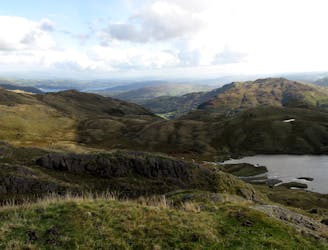
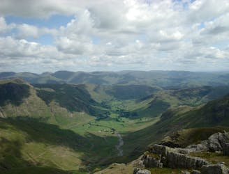
This classic route has it all and is justly popular but don’t let the crowds put you off; wait until later in the day and there’s a good chance you’ll have it to yourself!
Extreme Hiking
4.4 km away
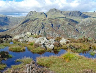
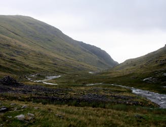
The short route described here is ideal either as a half-day family adventure, or a quick blast between showers.
Easy Hiking
6 km away
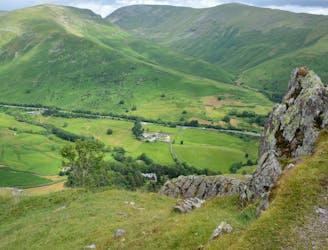
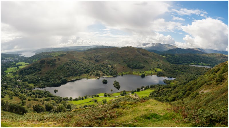
A short family-friendly walk from Grasmere's Town Head, taking in a beautiful valley and an easy ridge to a classic Lakeland micro-summit, which feels much higher than its on-paper altitude suggests.
Moderate Hiking
6.6 km away
An excellent walk taking in an unusual combination of hills, and full of interest all the way.
Moderate Hiking
6.9 km away
The second half of this route takes in much of the roughest ground in the Lake District and you need the fell craft of a goat to keep up a good pace.
Extreme Hiking
7.1 km away
This stern, stony mountain sprawls over a large area, its many impressive corners offering some of the grandest mountain scenery in the Lake District.
Difficult Hiking
7.7 km away
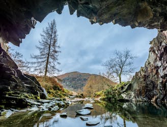
Circumnavigate a beautiful little lake and visit one of the Lake District's most famous manmade landmarks.
Moderate Hiking
8 km away
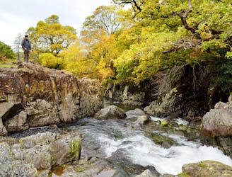
A beautiful walk to an exceptional wild swimming spot
Moderate Hiking
8.8 km away
Taking in the major fells that ring the head of Eskdale, this round includes many of the highest, most interesting and most popular peaks in England, allowing the walker to fully enjoy this wonderful corner of the Lake District.
Severe Hiking

9 routes · Hiking

5 routes · Hiking
5 routes · Hiking

7 routes · Hiking