3.6 km away
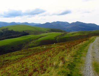
The Coledale Round
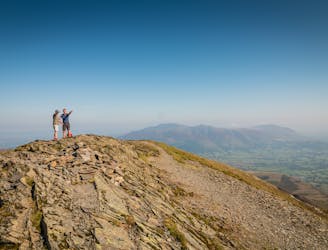
The pleasure found on the hills that cradle Coledale in their lap will satisfy even the greediest of hill gluttons.
Severe Hiking
- Distance
- 17 km
- Ascent
- 1.2 km
- Descent
- 1.2 km
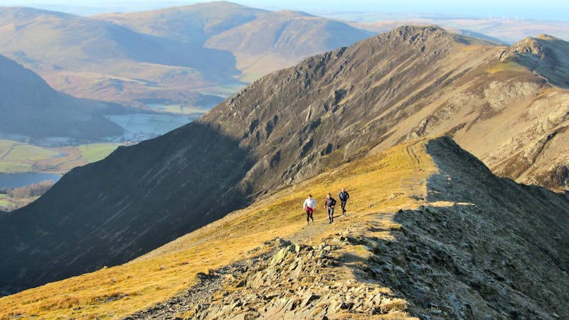
Whinlatter Pass - Hopegill Head - Whiteside - Hobcarton Crag - Grisedale Pike - Hobcarton End - Whinlatter Pass
Hiking Moderate

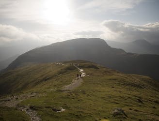
This is a popular hiking route which is generally considered to be moderate. It's remote, it features high exposure and is typically done all year round. From a low point of 274 m to the maximum altitude of 786 m, the route covers 14 km, 852 vertical metres of ascent and 852 vertical metres of descent.
Whinlatter Pass - Hopegill Head - Whiteside - Hobcarton Crag - Grisedale Pike - Hobcarton End - Whinlatter Pass
Moderate
Hiking along trails with some uneven terrain and small hills. Small rocks and roots may be present.

Some trail sections have exposed ledges or steep ascents/descents where falling could cause serious injury.

Away from help but easily accessed.
3.6 km away
The pleasure found on the hills that cradle Coledale in their lap will satisfy even the greediest of hill gluttons.
Severe Hiking
4.6 km away
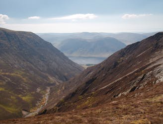
This round which tackles the hills enclosing secretive Gasgale Gill is perfect for a shorter day, and after an inauspicious start rewards baggers with three Wainwrights building to a fine climax with a traverse of one of the best walker’s ridges in the entire national park.
Difficult Hiking
7.5 km away
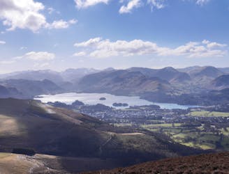
For one of the best short routes in the north Lakes combine the charismatic mini mountain Cat Bells with a ramble along the wooded west side of Derwentwater - perhaps the most picturesque shoreline in England.
Moderate Hiking
7.6 km away
This route provides drastic contrasts, from easy terrain to extremely difficult terrain.
Extreme Hiking
9.2 km away
For a completely different day out head round to the hill's wilder northeastern side, where the wide open spaces of the Skiddaw Forest have plenty to offer lovers of remote country.
Moderate Hiking

9 routes · Hiking
6 routes · Hiking

5 routes · Hiking