2 m away
Hawes Ridgelines: Double Loop
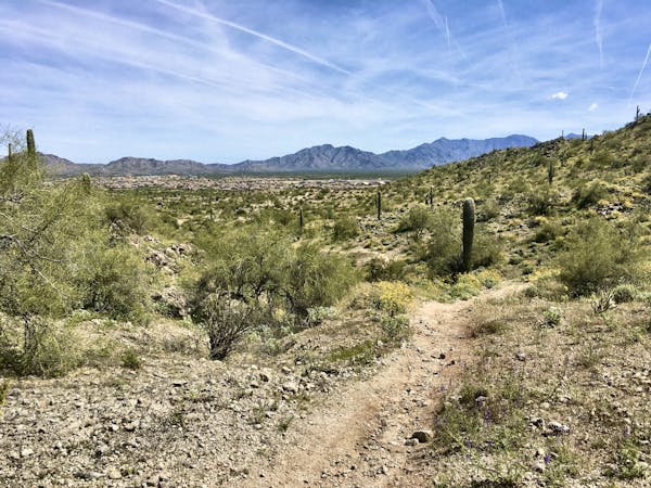
Iron Goat and High Ridge provide superb ridgeline ripping on Hawes' east side.
Severe Mountain Biking
- Distance
- 12 km
- Ascent
- 458 m
- Descent
- 458 m
A true crowd-pleaser loop at Hawes.
Mountain Biking Severe

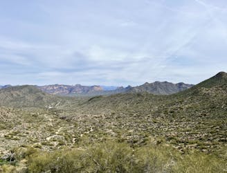
Red Mountain Rush has become one of the most sought-after descents in the Hawes Trail System. This ripping downhill drops off the top of one of the highest ridges in the mountain range, rolling downhill along a descending ridgeline.
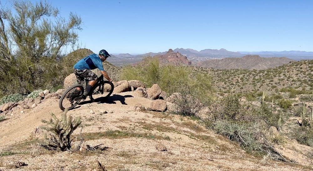
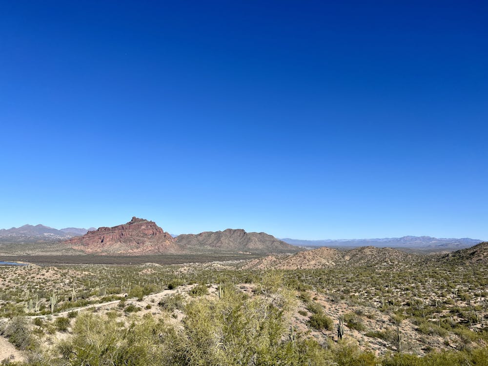
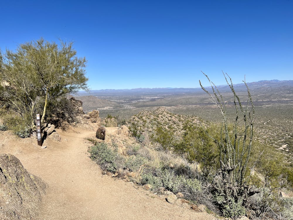
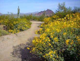
The singletrack follows the spine of the ridge for a considerable distance. If you can pull your eyes away from the undulating rock-filled trail, you'll enjoy incredible views of the surrounding mountain and desert. But the trail demands total focus, as the track is delightfully narrow.
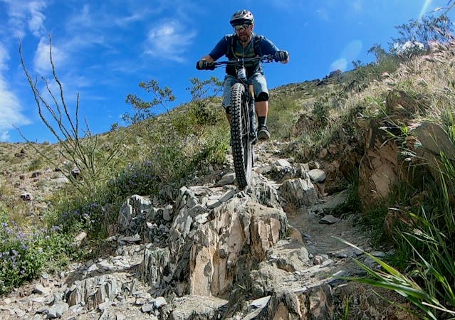
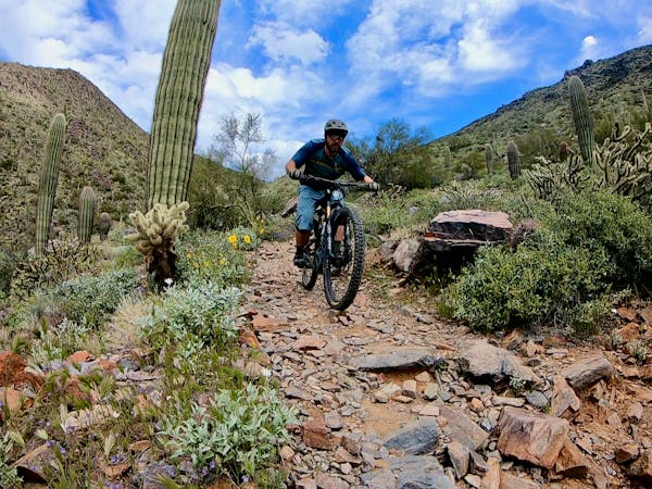
While not the most technical trail in the Hawes Trail System, Red Mountain Rush mixes fun flow with challenging tech. Along the descent, you'll get to enjoy flowy rollers, jumps, rough rock gardens, and small ledge drops. The trail tread itself consists of loos decomposed granite, which adds another layer of challenge if you're really trying to rip into the downhill at top speed.
The technical difficulty ranks at the lower end of Severe, but the optional features can quickly ratchet the challenge up a notch!
Route Options
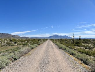
The loop mapped here accesses Red Mountain Rush from the east via L'Alpe d'Huez climbing trail before reaching an incredibly-beautiful trail that runs along the high ridge. Known as the Goat Trail, this traverse is unbelievably gorgeous, but it's still quite technical and challenging.
It is possible to access Red Mountain Rush from the west by climbing the Cactus Garden trail, but Cactus Garden is a tough climb that will force most riders to hike-a-bike at least a few sections.
Once done with Red Mountain Rush, you can wrap up this loop in an efficient manner as shown, but a quick lap on Big Sister is a popular addition!
Severe
Widely variable, narrow trail tread with steeper grades and unavoidable obstacles of 15in/38cm tall or less. Obstacles may include unavoidable bridges 24in/61cm wide or less, large rocks, gravel, difficult root sections, and more. Ideal for advanced-level riders.

Some trail sections have exposed ledges or steep ascents/descents where falling could cause serious injury.

Away from help but easily accessed.
2 m away
Iron Goat and High Ridge provide superb ridgeline ripping on Hawes' east side.
Severe Mountain Biking
2.6 km away
A combination of smooth dirt singletrack and gravel paths creates a fun XC loop through Usery Mountain Park.
Easy Mountain Biking
4.6 km away

The closest thing to a flow trail that you'll find in Arizona!
Difficult Mountain Biking
5.4 km away
A sleeper hit in the Phoenix Metro Area.
Difficult Mountain Biking
6.3 km away

The most technical trail at Hawes, filled with big hucks and massive rock gardens.
Extreme Mountain Biking
4 routes · Mountain Biking
10 routes · Mountain Biking
8 routes · Mountain Biking

5 routes · Mountain Biking