1.2 km away
Hawes: Sunset Ridge Loop
The most technical trail at Hawes, filled with big hucks and massive rock gardens.
Extreme Mountain Biking
- Distance
- 14 km
- Ascent
- 515 m
- Descent
- 515 m
A sleeper hit in the Phoenix Metro Area.
Mountain Biking Difficult

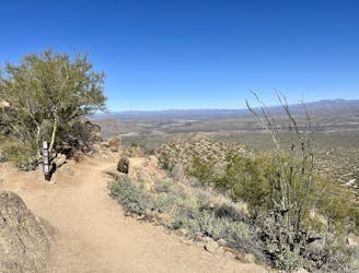
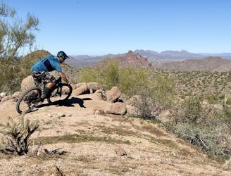
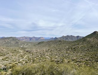
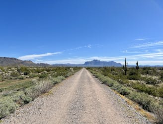
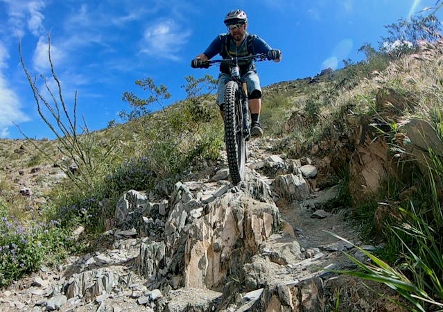
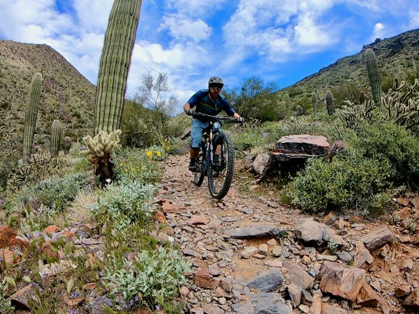
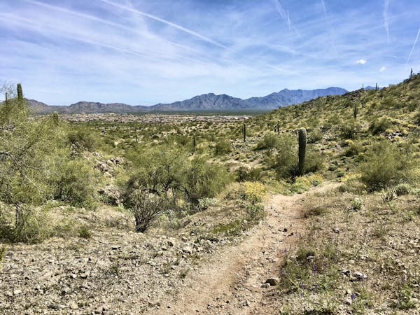
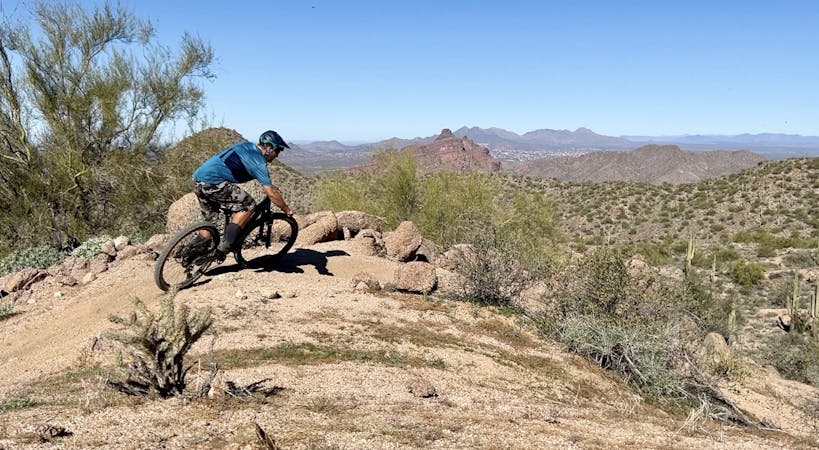
The singletrack in the Hawes Trail System offers some of the highest-acclaimed cross country mountain biking in the Phoenix Metro Area. While Hawes flies a bit under the tourist radar, with most out-of-town visitors heading to either McDowell Mountain Park or South Mountain, the locals know that Hawes is actually one of the best spots in the region!

"Hawes and its accompanying trails take riders up to mine shafts and through a forest of cactus leading to some of the best views in the East Valley," writes the Phoenix New Times. "The most ride-able loop is a combination of Hawes, Saddle, Saguaro, and Ridge trails in a counterclockwise direction, for a run of about seven miles," they continue. "For a sweet payoff, work to the top of Saguaro Trail and discover why that trail is also known as Mine Shaft."
The route mapped here mostly follows that recommended combination of trails. While there are more technical sections of singletrack to be had in the Hawes Trail System, the loop featured here is designed to maximize the flowy cross country pedaling… with a bit of that sweet reward on the Saguaro Trail, of course!
At the time of this writing, the entire Hawes Trail System contains 25.2 miles of approved trails and 12.8 miles of social trails. The Hawes Trail Alliance has also proposed another 16.7 miles of trail in the network, for a whopping total of 54.7 miles!
Sources: https://www.youtube.com/watch?v=aVJw7VBVEA https://hawestrailalliance.com/ https://www.phoenixnewtimes.com/best-of/2012/sports-and-recreation/best-mountain-bike-ride-6470501
Difficult
Mostly stable trail tread with some variability featuring larger and more unavoidable obstacles that may include, but not be limited to: bigger stones, roots, steps, and narrow curves. Compared to lower intermediate, technical difficulty is more advanced and grades of slopes are steeper. Ideal for upper intermediate riders.

The path is on completely flat land and potential injury is limited to falling over.

Away from help but easily accessed.
1.2 km away
The most technical trail at Hawes, filled with big hucks and massive rock gardens.
Extreme Mountain Biking
1.6 km away

The closest thing to a flow trail that you'll find in Arizona!
Difficult Mountain Biking
5.4 km away
A true crowd-pleaser loop at Hawes.
Severe Mountain Biking
5.4 km away
Iron Goat and High Ridge provide superb ridgeline ripping on Hawes' east side.
Severe Mountain Biking
6.4 km away
A combination of smooth dirt singletrack and gravel paths creates a fun XC loop through Usery Mountain Park.
Easy Mountain Biking
4 routes · Mountain Biking
10 routes · Mountain Biking
8 routes · Mountain Biking
5 routes · Mountain Biking