2.6 km away
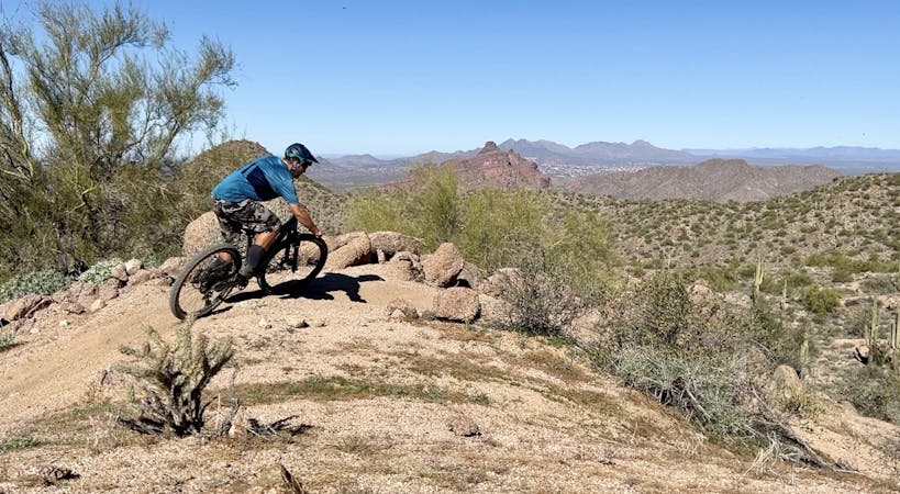
Hawes: Red Mountain Rush Loop
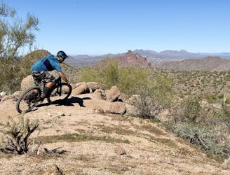
A true crowd-pleaser loop at Hawes.
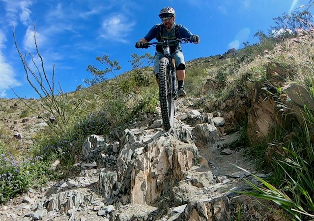
Severe Mountain Biking
- Distance
- 14 km
- Ascent
- 396 m
- Descent
- 396 m
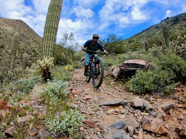
A combination of smooth dirt singletrack and gravel paths creates a fun XC loop through Usery Mountain Park.
Mountain Biking Easy
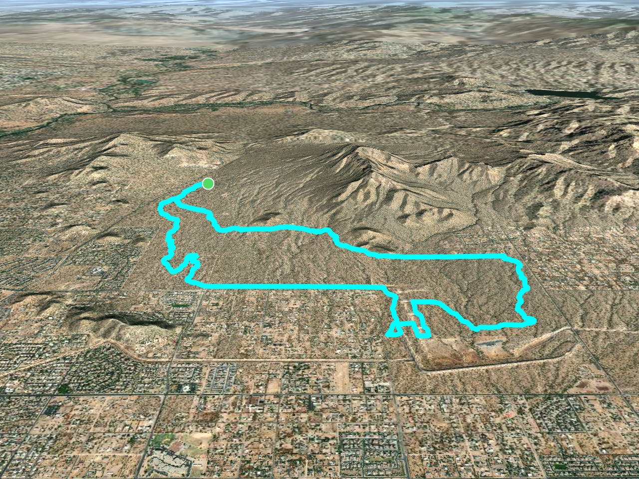
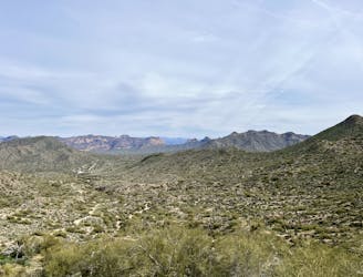
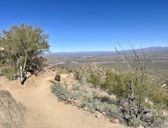
Usery Mountain Regional Park forms part of the green space barrier that hems in the northeastern corner of the Phoenix Metro Area. Despite being located right next to the popular mountain bike trails in the Hawes Trail System, Usery often gets overlooked by many mountain bikers.

It's a shame, really. Usery is home to a gorgeous campground that boasts 73 campsites with stunning views of the mountains to the north, all while being surrounded by ancient saguaro cacti. Granted, Usery doesn't have quite the density of trails that McDowell or Brown Mountain boast, but you can still piece together a few high-value loops through this regional park that can be pedaled right from your campsite.
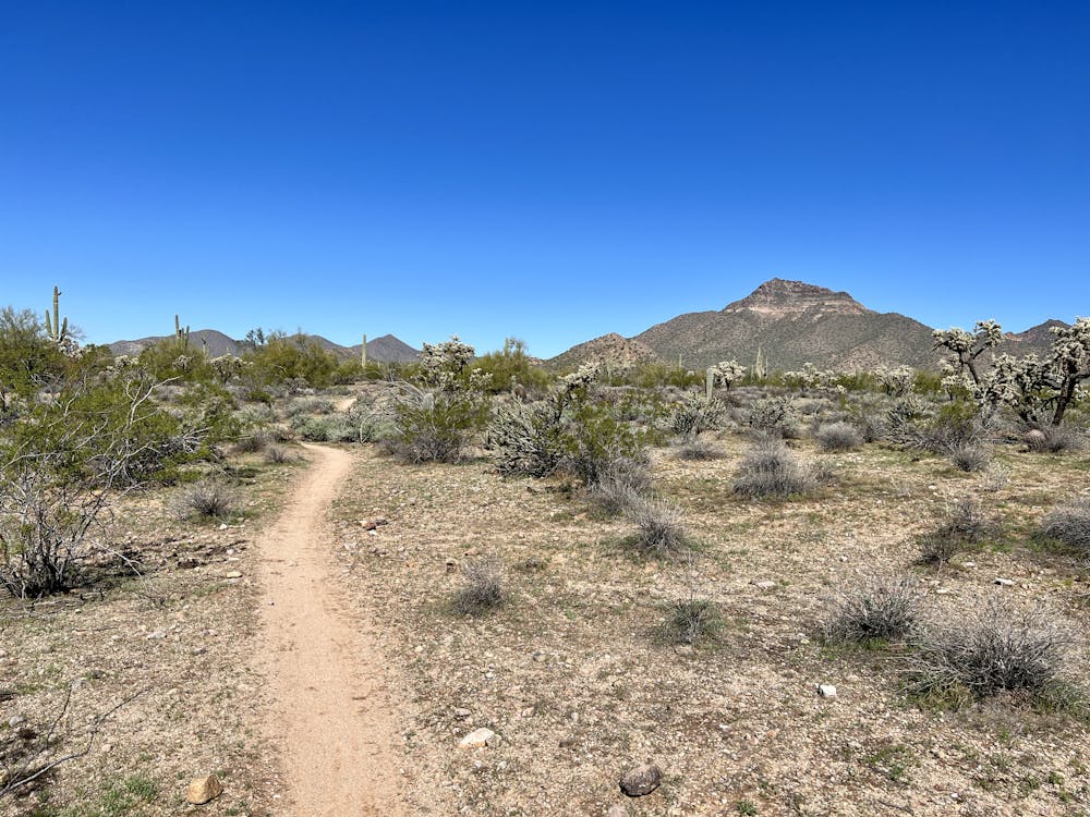
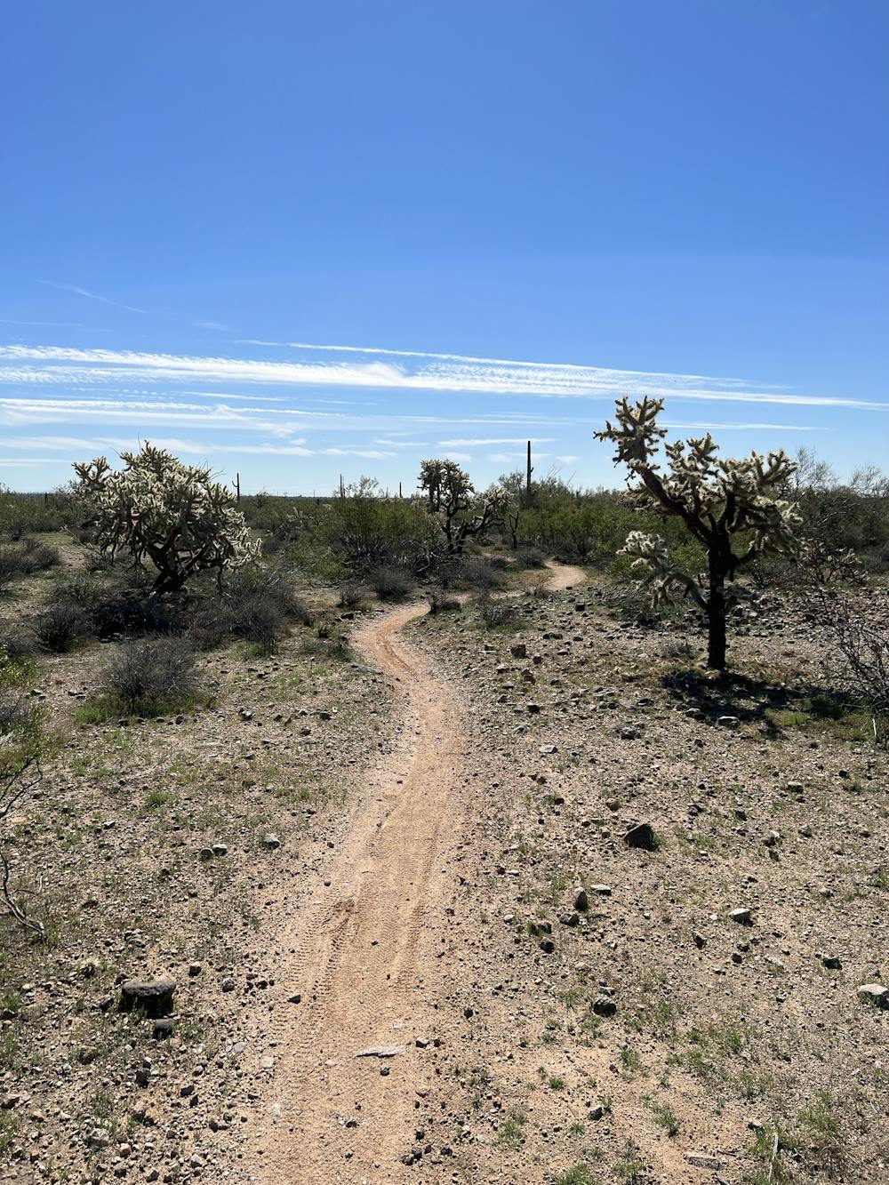
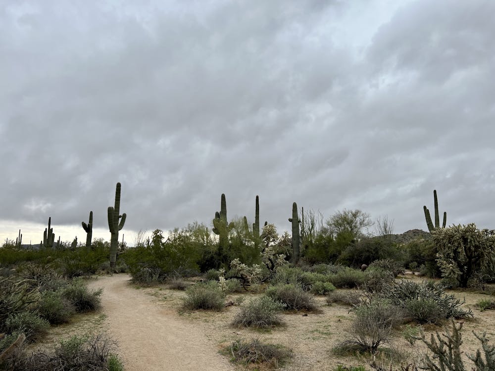
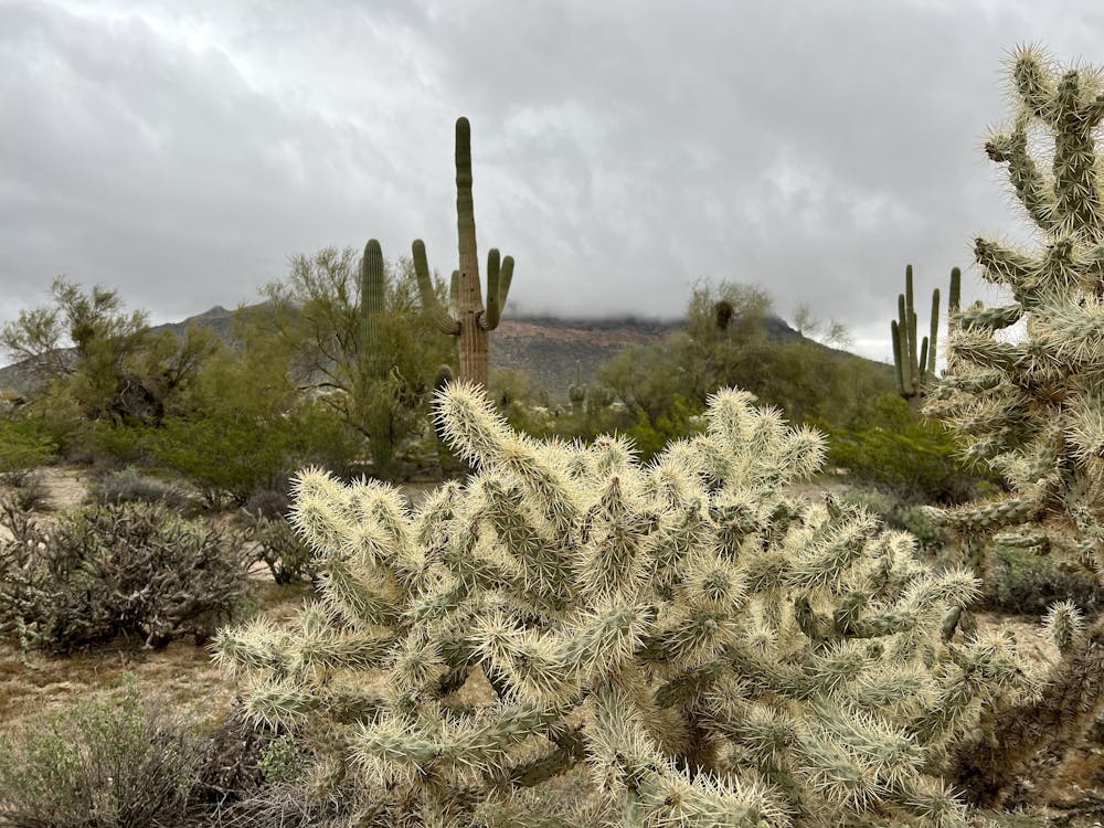
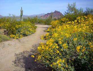
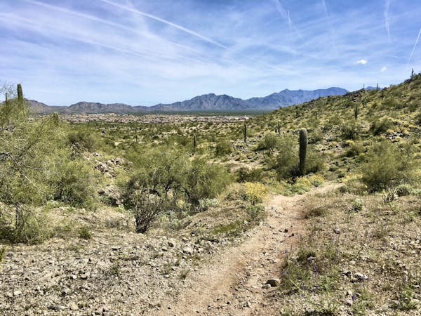
The loop mapped here is a non-technical cross-country ride through the arroyos and flat desert on the south side of Usery Mountain Park. The ride starts off on a narrow, sinuous singletrack known as the Lost Sheep Trail, swooping and flowing through the cacti on classic gravelly Phoenix singletrack.
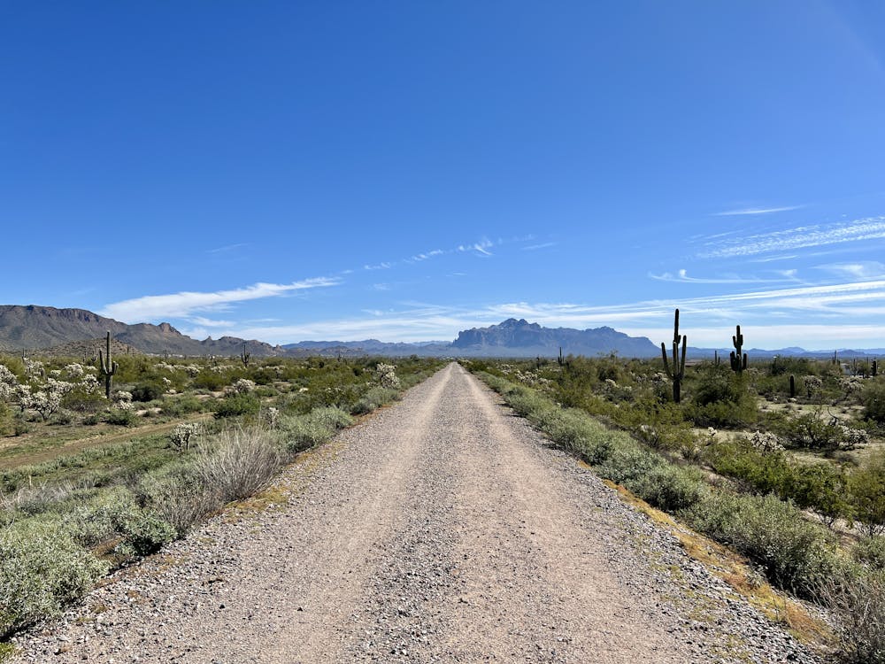
As you reach the south side of the loop, the route as mapped hops on a gated gravel road that runs along a dyke above a mostly-dry channel. If you'd prefer to have a bit more challenge, there is a singletrack-ish trail that runs lower down in the channel that may or may not be waterlogged: it depends on the time of the year.
The southeastern corner of the loop also contains a mixture of singletrack and gravel doubletrack, and it can easily be cut off if you want to shorten the ride.
After picking up the Ruidoso Trail, the rest of the ride follows fantastic non-technical singletrack. The flowy trails will have you grinning from ear to ear as you dodge the jumping cholla and rocket in and out of the small arroyos.
After looping back north on the County Line Trail, the return back to the west on Meridian and Blevins is a touch rockier than the trails you've ridden thus far. The rocks are still easily navigable, and this route overall is still deserving of an "Easy" technicality rating.
Once onto Chainfruit to return to Lost Sheep, the narrow, smooth singletrack is back for a fun finish to this beautiful cross country ride.
Easy
Mostly smooth and non-technical singletrack with unavoidable obstacles 2in/5cm tall or less. Avoidable obstacles may be present. Ideal for beginner riders.

The path is on completely flat land and potential injury is limited to falling over.
Close to help in case of emergency.
2.6 km away
A true crowd-pleaser loop at Hawes.
Severe Mountain Biking
2.6 km away
Iron Goat and High Ridge provide superb ridgeline ripping on Hawes' east side.
Severe Mountain Biking
6.1 km away

The closest thing to a flow trail that you'll find in Arizona!
Difficult Mountain Biking
6.4 km away
A sleeper hit in the Phoenix Metro Area.
Difficult Mountain Biking
6.7 km away
The most technical trail at Hawes, filled with big hucks and massive rock gardens.
Extreme Mountain Biking
4 routes · Mountain Biking
10 routes · Mountain Biking
8 routes · Mountain Biking
5 routes · Mountain Biking