3 m away
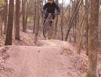
Handcut Hollow: Gravity Laps
An efficient plan for hitting all of the downhill runs at Handcut Hollow.
Severe Mountain Biking
- Distance
- 16 km
- Ascent
- 426 m
- Descent
- 426 m
A cross-country pedal around the Handcut Hollow zone.
Mountain Biking Moderate

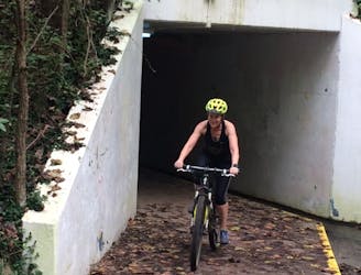
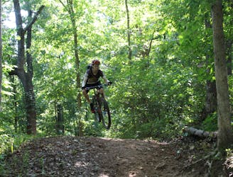
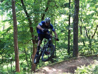
At the time of this writing, in fall 2021, Handcut Hollow is one of the newest zones in the ever-changing Bentonville trail system. This network is anchored by a series of short downhill runs that you can session over and over again, but you can also choose to pedal an intermediate-friendly cross-country loop as well. With a bit of pedaling on the road, you can also connect these trails to the greater Slaughter Pen trail network for an even longer cross-country ride.
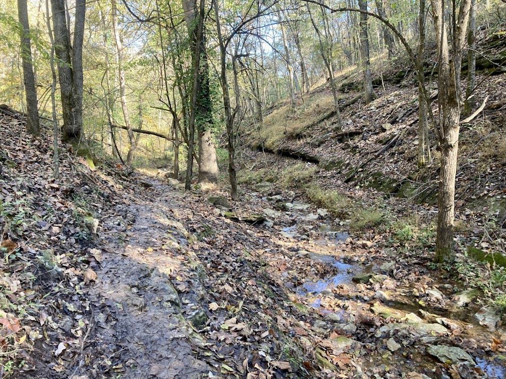
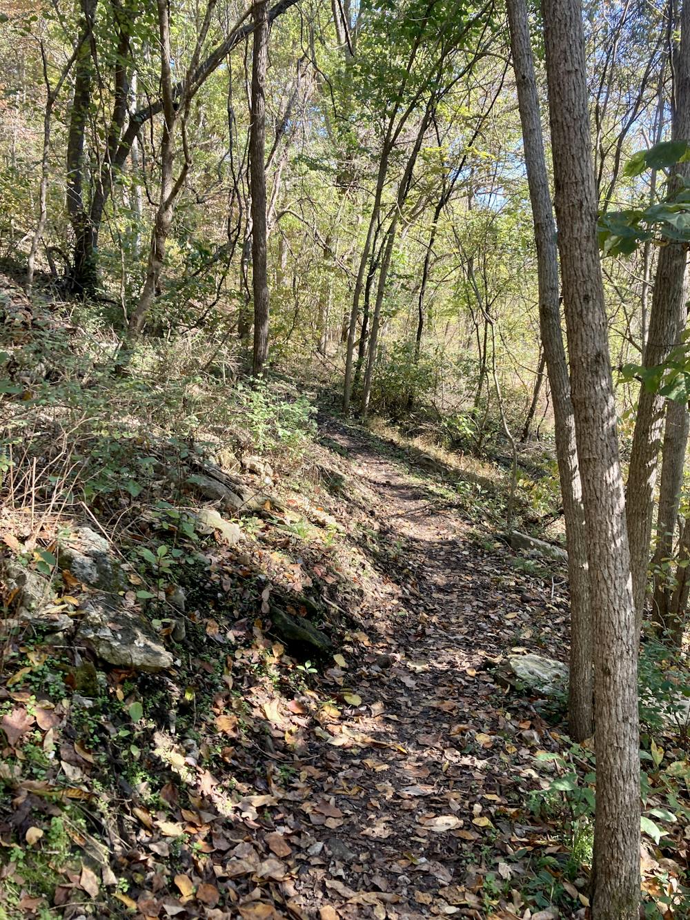
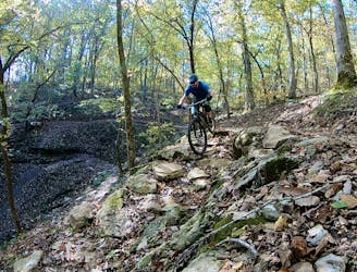
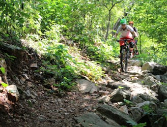
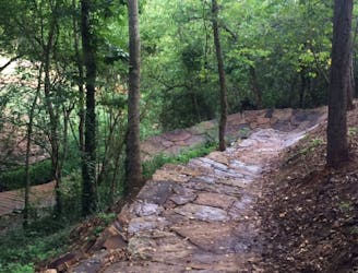
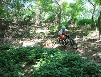
The singletrack here is meant to "feel" like it was built by hand, although some of the trails have obviously seen at least some machine work. Even so, the singletrack is narrower and twistier than some of the wide-open flowy trails in other nearby trail systems. As you pedal around this loop, you'll grunt up short, steep climbs and then blast back downhill. You'll twist through hollows, traverse over wet limestone slabs, and slip and slide your way up and down roots and rocks.
Despite some small tech bits, this is still a blue trail that most intermediate riders will have no difficulty with. And if you do have difficulty with a few sections, simply consider it a good learning experience!
The downhill runs are located in the heart of the trail system and can be easily combined with the Traverse Loop for a solid day of riding. Tack on one or two runs, ride them all, or session the same trails over and over again—the choice is ultimately up to you. For a more detailed breakdown of the downhill runs, see the "Handcut Hollow: Downhill Laps" route on FATMAP.
Moderate
Mostly stable trail tread with some variability, with unavoidable obstacles 8in/20cm tall or less. Other obstacles such as rock gullies and steep sections may exist. Ideal for lower intermediate riders.

The trail contains some obstacles such as outcroppings and rock which could cause injury.

Close to help in case of emergency.
3 m away
An efficient plan for hitting all of the downhill runs at Handcut Hollow.
Severe Mountain Biking
3.1 km away
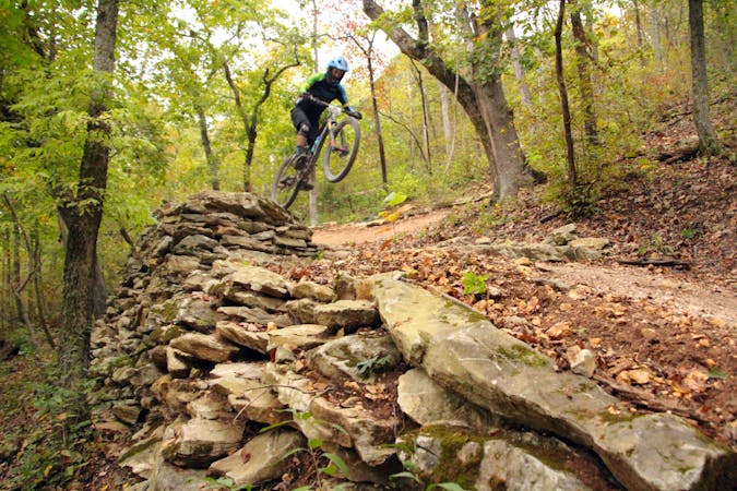
Slaughter Pen Phase II East is a set of narrow rocky trails that will challenge your handling skills and provide a feeling of accomplishment after riding them.
Severe Mountain Biking
3.4 km away
I recommend riding counterclockwise, making sure you take the high ground when given an option to catch a couple of fun features.
Difficult Mountain Biking
3.4 km away
Techy, rocky run on hillside overlooking Black Apple Creek Trail
Severe Mountain Biking
3.4 km away

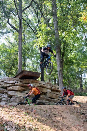
A fresh jump line with big tabletops.
Severe Mountain Biking
3.4 km away
Slaughter Pen Phase III includes a collection of short, fun trails within densely-wooded green space preserves that include abrupt climbs and fast descents.
Difficult Mountain Biking
3.5 km away
The trails here routes cyclists through scenic water garden area.
Difficult Mountain Biking
3.5 km away
Tatamagouche Trails and Armadillo’s Last Stand are both twisting, turning, undulating trails within the Outer Loop trail of Phase I.
Severe Mountain Biking
4.5 km away
Slaughter Pen Trails Phase I crisscrosses the hillside with several old-school trails packed with short climbs, wooden bridges, sharp banked turns, and a short downhill run packed with many fun features.
Severe Mountain Biking
4.6 km away

A rock slab-filled black diamond descent.
Severe Mountain Biking
13 routes · Mountain Biking
10 routes · Mountain Biking