276 m away
Park Springs Trails
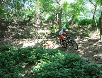
The trails here routes cyclists through scenic water garden area.
Difficult Mountain Biking
- Distance
- 1.1 km
- Ascent
- 17 m
- Descent
- 0 m
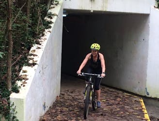
This trail routes cyclists in Park Springs to the tunnel, leading to an adjoining trail system.
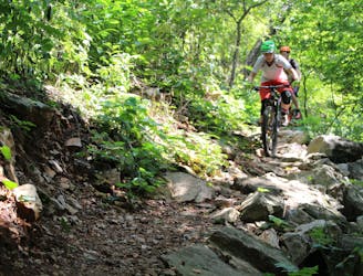
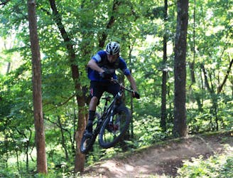
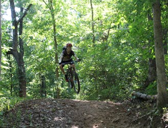
Mountain Biking Moderate

This is a popular mountain biking route which is generally considered to be moderate. It's not remote, it features medium exposure and is typically done all year round. From a low point of 367 m to the maximum altitude of 374 m, the route covers 332 m, 0 vertical metres of ascent and 6 vertical metres of descent.
Moderate
Mostly stable trail tread with some variability, with unavoidable obstacles 8in/20cm tall or less. Other obstacles such as rock gullies and steep sections may exist. Ideal for lower intermediate riders.

The trail contains some obstacles such as outcroppings and rock which could cause injury.

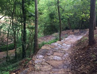
Close to help in case of emergency.
276 m away
The trails here routes cyclists through scenic water garden area.
Difficult Mountain Biking
389 m away
I recommend riding counterclockwise, making sure you take the high ground when given an option to catch a couple of fun features.
Difficult Mountain Biking
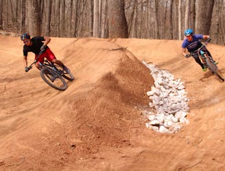
436 m away
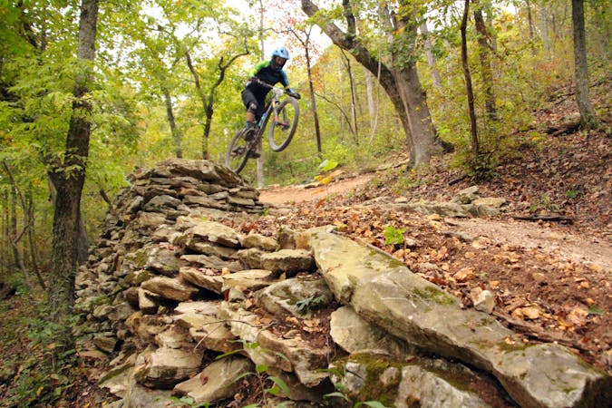
Techy, rocky run on hillside overlooking Black Apple Creek Trail
Severe Mountain Biking
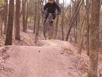
967 m away

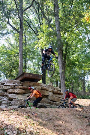
A fresh jump line with big tabletops.
Severe Mountain Biking
1.2 km away
Slaughter Pen Phase III includes a collection of short, fun trails within densely-wooded green space preserves that include abrupt climbs and fast descents.
Difficult Mountain Biking
1.7 km away
Slaughter Pen Phase II East is a set of narrow rocky trails that will challenge your handling skills and provide a feeling of accomplishment after riding them.
Severe Mountain Biking
2.2 km away
Slaughter Pen Trails Phase I crisscrosses the hillside with several old-school trails packed with short climbs, wooden bridges, sharp banked turns, and a short downhill run packed with many fun features.
Severe Mountain Biking
2.4 km away
Coler MTB Preserve West is loaded with wood features and also the only dual slalom run in this part of the country.
Difficult Mountain Biking
2.4 km away

The perfect spot for learning how to ride flow trails.
Easy Mountain Biking
2.4 km away
Tatamagouche Trails and Armadillo’s Last Stand are both twisting, turning, undulating trails within the Outer Loop trail of Phase I.
Severe Mountain Biking
13 routes · Mountain Biking
10 routes · Mountain Biking