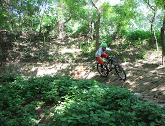
121 m away
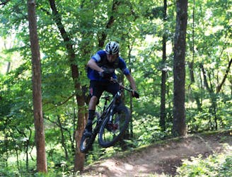
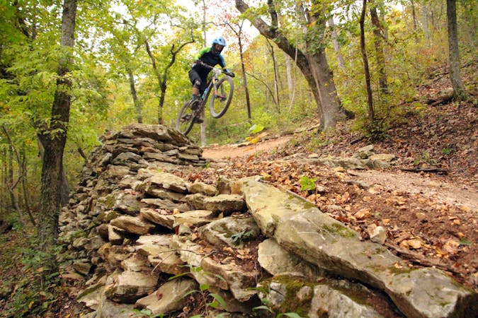
Hammer Down

A fresh jump line with big tabletops.
Severe Mountain Biking
- Distance
- 997 m
- Ascent
- 28 m
- Descent
- 28 m
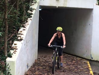
This is a connector trail back to the main parking lot for Slaughter Pen located at North Walton Blvd.
Mountain Biking Moderate

This is a connector single track, constructed in 2018, for a quick route to the main parking lot for Slaughter Pen located at North Walton Blvd. After leaving Ozone Trail and crossing NW A St, this connector begins as Red Barn then connects to Tristan, taking cyclists back to the parking lot. This is a nice flowy, curvy, descent that makes for a great finish for your ride.
Moderate
Mostly stable trail tread with some variability, with unavoidable obstacles 8in/20cm tall or less. Other obstacles such as rock gullies and steep sections may exist. Ideal for lower intermediate riders.

The trail contains some obstacles such as outcroppings and rock which could cause injury.

Close to help in case of emergency.
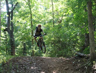
121 m away
A fresh jump line with big tabletops.
Severe Mountain Biking
596 m away
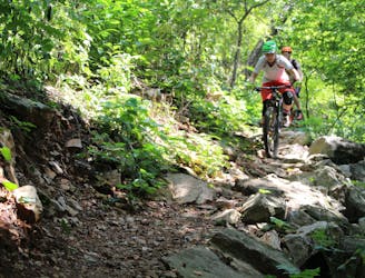
Techy, rocky run on hillside overlooking Black Apple Creek Trail
Severe Mountain Biking
675 m away
I recommend riding counterclockwise, making sure you take the high ground when given an option to catch a couple of fun features.
Difficult Mountain Biking
726 m away
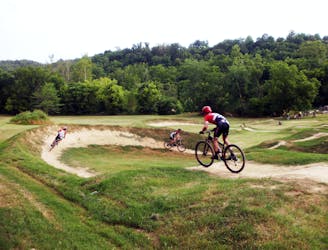
The trails here routes cyclists through scenic water garden area.
Difficult Mountain Biking
839 m away
Slaughter Pen Phase II East is a set of narrow rocky trails that will challenge your handling skills and provide a feeling of accomplishment after riding them.
Severe Mountain Biking
1.4 km away
Slaughter Pen Trails Phase I crisscrosses the hillside with several old-school trails packed with short climbs, wooden bridges, sharp banked turns, and a short downhill run packed with many fun features.
Severe Mountain Biking
1.4 km away
Tatamagouche Trails and Armadillo’s Last Stand are both twisting, turning, undulating trails within the Outer Loop trail of Phase I.
Severe Mountain Biking
1.7 km away

A rock slab-filled black diamond descent.
Severe Mountain Biking
1.7 km away
More old school single track that flows along the hillside then switches back up the hillside for short climbs and descent.
Difficult Mountain Biking
1.7 km away
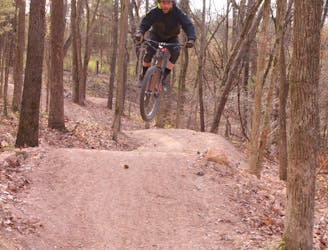
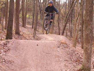
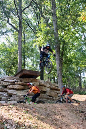
The OG jump line at Slaughter Pen
Extreme Mountain Biking
13 routes · Mountain Biking
10 routes · Mountain Biking