FATMAP by Strava

Schroen Train

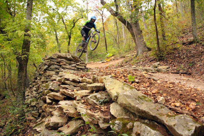
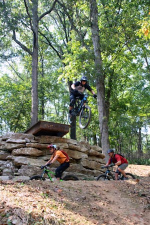
A technical line on Slaughter Pen's East Side, filled with big, challenging features.

Mountain Biking Severe

Distance
371 m
Ascent
2 m
Descent
10 m
Duration
0-1 hrs
Low Point
366 m
High Point
374 m
Gradient
Schroen Train Map

This is a popular mountain biking route which is generally considered to be severe. It's not remote, it features extreme exposure and is typically done all year round. From a low point of 366 m to the maximum altitude of 374 m, the route covers 371 m, 2 vertical metres of ascent and 10 vertical metres of descent.

Description

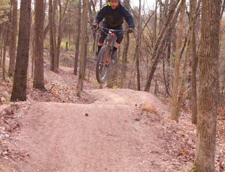
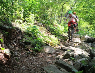
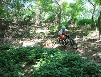
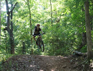
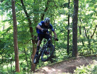
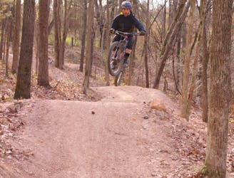
Packed back to back with large slab rock gardens, sweet dirt rollers, table-tops, rock kickers, and a pretty big drop, those mountain bikers possessing the skill sets are sure to make several do-overs on Schroen.

Difficulty

Severe

Widely variable, narrow trail tread with steeper grades and unavoidable obstacles of 15in/38cm tall or less. Obstacles may include unavoidable bridges 24in/61cm wide or less, large rocks, gravel, difficult root sections, and more. Ideal for advanced-level riders.

Extreme Exposure

4 out of 4

Some trail sections are extremely exposed where falling will almost certainly result in serious injury or death.

Remoteness

1 out of 4

Close to help in case of emergency.

Best time to visit

all year round

Features

  • Flow
  • Technical
  • Drops
  • Gap Jumps
  • Tabletops
  • Rock Slabs
  • Rock Gardens

Similar routes nearby

Guidebooks in this area