696 m away
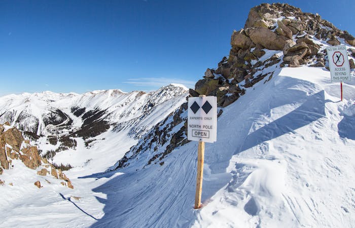
The Steep Gullies

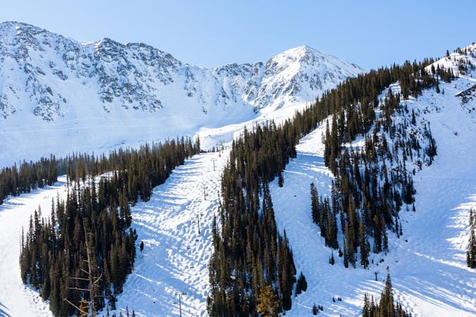
Frequently accessed gladed run out of the resort gate
Moderate Freeride Skiing
- Distance
- 1.1 km
- Ascent
- 9 m
- Descent
- 470 m
Hike back starting at the end of Grand Portage.
Freeride Skiing Difficult

This is a popular freeride skiing route which is generally considered to be difficult. It's remote, it features medium exposure (e2) and is typically done between January and April. From a low point of 3.2 km to the maximum altitude of 3.3 km, the route covers 1 km, 99 vertical metres of ascent and 4 vertical metres of descent. You'll need skins to complete it safely.
Way back to the ski area from the Steep Gullies, Janitors Only, and Christmas Trees. Takes about 20 minutes.
Difficult
Serious gradient of 30-38 degrees where a real risk of slipping exists.

As well as the slope itself, there are some obstacles (such as rock outcrops) which could aggravate injury.
Away from help but easily accessed.
696 m away
Frequently accessed gladed run out of the resort gate
Moderate Freeride Skiing
800 m away

Steep tight trees
Difficult Freeride Skiing
856 m away

Nice exposed rock chute hidden off Turbo
Severe Freeride Skiing
858 m away

nice steep chute off the main Piste Trail Turbo
Severe Freeride Skiing
1.3 km away

Bowl skiing tree run
Difficult Freeride Skiing
1.3 km away

Flat bowl to steep tree skiing
Difficult Freeride Skiing
1.3 km away

Bowl skiing into a tree run
Difficult Freeride Skiing
1.4 km away

Mellow bowl skiing into mellow tree skiing
Moderate Freeride Skiing
1.6 km away

Open bowl skiing to tight tree skiing
Moderate Freeride Skiing
1.7 km away

Access to hikeable and out of bounds terrain
Moderate Freeride Skiing
8 routes · Freeride Skiing
4 routes · Freeride Skiing · Resort Ski Touring