6.6 km away
Crystal Lakes Trail
Rugged hike above treeline between two high-elevation lakes near Breckenridge.
Difficult Hiking
- Distance
- 6.4 km
- Ascent
- 297 m
- Descent
- 297 m
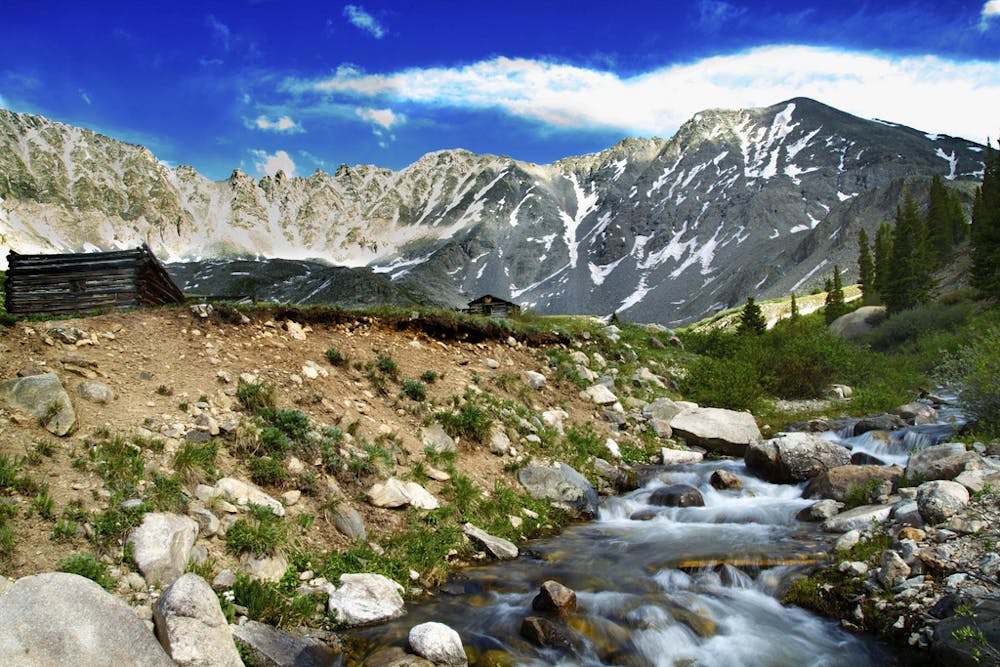
Hike along an old mining road from forests to fields beneath the craggy slopes of the Tenmile Range.
Hiking Moderate

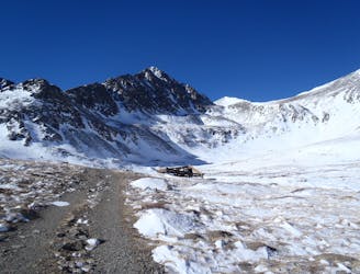
Mayflower Gulch is a valley of forests and meadows on the west side of the Tenmile Range, south of Copper Mountain. Popular all winter for snowshoeing and cross-country skiing and in the summer for hiking and biking, the main trail is a 4WD road with several side trails. It begins from Highway 91 and climbs into a high basin. Most of the route stays in the northern shadows of Gold Hill, so snow sticks around well into June or even July.
For about 2 miles, the road stays in the trees near the edge of a long meadow which Mayflower Creek flows through. You’ll pass the remains of a few old mining camps and cabins, and side trails allow further exploration of the decaying structures. The road eventually emerges from the trees, and the final mile is among grassy meadows with summer wildflowers, surrounded by steep, rocky slopes on three sides. The road ends near the head of this valley but social trails weave throughout. Explore all you like then return the way you came.
Sources: https://www.hikingproject.com/trail/7005706/mayflower-gulch-road https://www.alltrails.com/explore/trail/us/colorado/mayflower-gulch-grand-traverse
Moderate
Hiking along trails with some uneven terrain and small hills. Small rocks and roots may be present.

The trail contains some obstacles such as outcroppings and rock which could cause injury.
Away from help but easily accessed.
6.6 km away
Rugged hike above treeline between two high-elevation lakes near Breckenridge.
Difficult Hiking
7.4 km away
A 67-mile section of the CDT ideal as a section hike ending with one of Colorado's best 14ers - Grays Peak.
Severe Hiking
7.4 km away
An easy stroll around alpine lakes and waterfalls beneath a 14,000-foot peak near Breckenridge.
Easy Hiking
8.4 km away
Steep hike on a wide trail to the tallest summit above Breckenridge Ski Resort.
Difficult Hiking
9.9 km away
Moderate hike among waterfalls and mining ruins to surpass the treeline and reach alpine lakes in a high valley.
Moderate Hiking
9.9 km away
Trail that climbs a out of a forested valley to an alpine basin with lakes and waterfalls, dotted with historic mine sites along the way.
Moderate Hiking

16 routes · Hiking
8 routes · Hiking

10 routes · Hiking

40 routes · Hiking