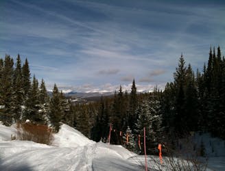
3.3 km away
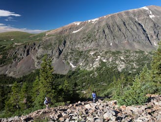
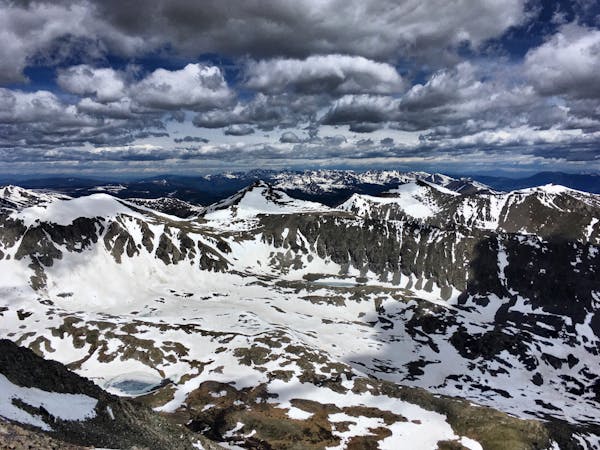
Quandary Peak
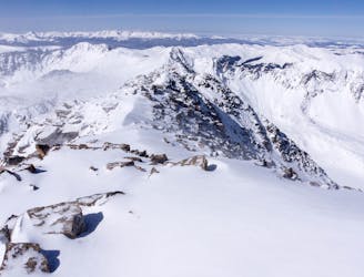
Rugged ridgeline hike to the top of one of Colorado's more accessible 14ers.
Severe Hiking
- Distance
- 11 km
- Ascent
- 1 km
- Descent
- 1 km
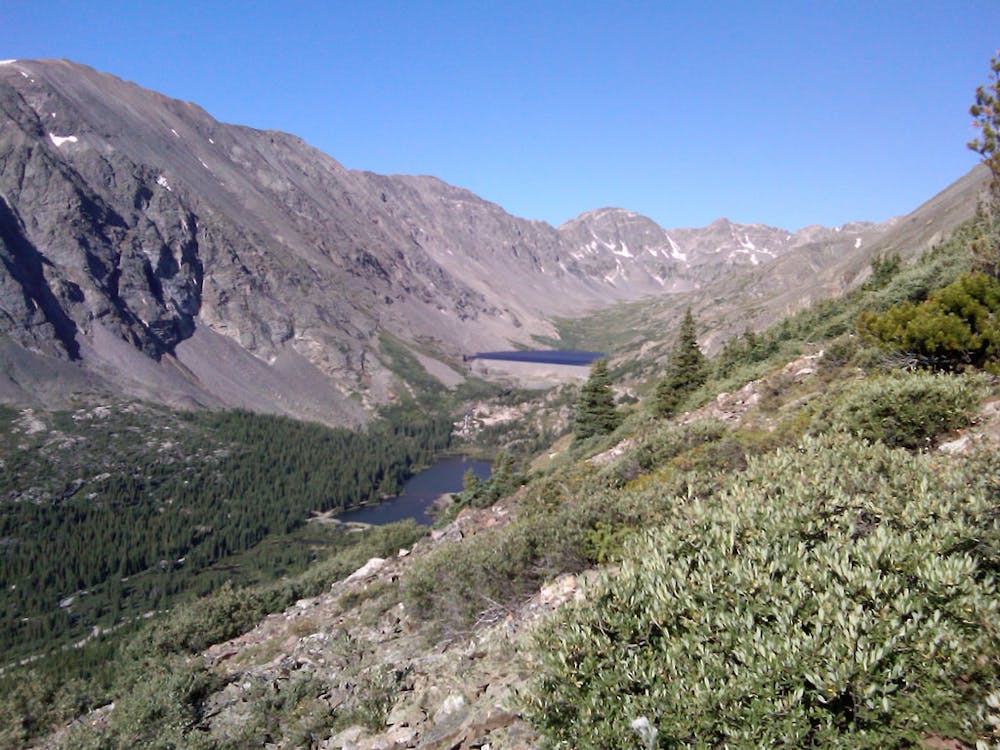
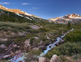
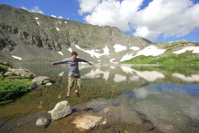
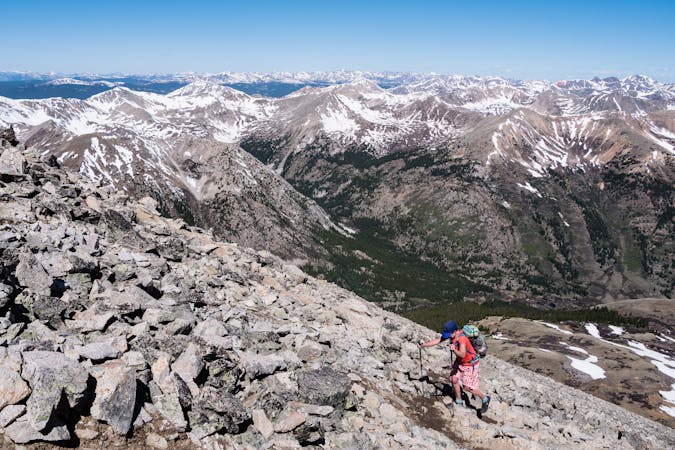
An easy stroll around alpine lakes and waterfalls beneath a 14,000-foot peak near Breckenridge.
Hiking Easy

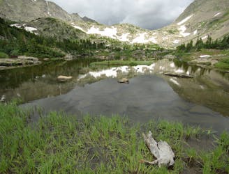
An easy trail just south of Breckenridge, Blue Lakes is a great place to enjoy Colorado’s mountain scenery and wildlife with very little work. A dirt road leads along Monte Cristo Creek to nearly 12,000 feet elevation, above treeline, where wild mountain goats are common, and where two alpine lakes shimmer in blue beneath white-capped peaks. The lakes are popular for fishing and paddling in the warm months. In winter, the closed road is good for snowshoeing and cross-country skiing.
In summer you can drive Blue Lakes road (No. 850) past Lower Blue Lake to just below the dam at Upper Blue Lake. The road is rough but passable for 2WD when dry. From there, a trail loops around the lake. It is not maintained and tricky to follow in some places because of steep slopes and loose surface, but still negotiable. Note that when the lake is completely full, however, hiking the shoreline might not be feasible everywhere. More paths link the two Blue Lakes, upper and lower. A series of waterfalls tumble in between them, among rocky meadows that bloom with wildflowers in summer. There is a smaller parking area along a 4WD road at the lower lake as well.
Sources: https://www.alltrails.com/explore/trail/us/colorado/blue-lakes-trail--2 https://www.gobreck.com/trip-ideas/hiking/moderate-hiking-trails-in-breckenridge/ https://www.outdoorproject.com/adventures/colorado/hikes/blue-lakes-trail
Easy
Walking along a well-kept trail that’s mostly flat. No obstacles are present.

The trail contains some obstacles such as outcroppings and rock which could cause injury.

Close to help in case of emergency.
3.3 km away
Rugged ridgeline hike to the top of one of Colorado's more accessible 14ers.
Severe Hiking
4.2 km away
Steep hike and ridge traverse to the summit of North Star Mountain on the Continental Divide.
Difficult Hiking
5.6 km away
Rugged hike above treeline between two high-elevation lakes near Breckenridge.
Difficult Hiking
5.8 km away

A steep old mining road that leads to ruins on the slopes of Red Mountain with great views over the Blue River Valley and surrounding peaks.
Difficult Hiking
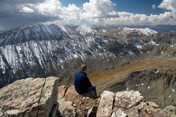
7 km away
Climb four 14ers in one hike!
Severe Hiking
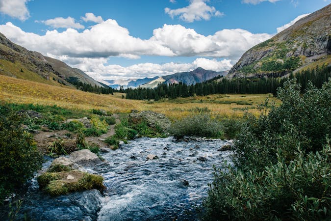
7 km away
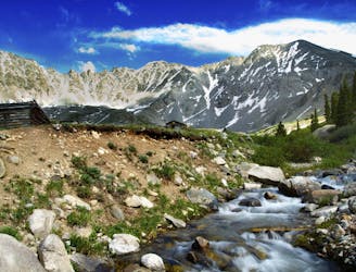
Moderate hike among waterfalls and mining ruins to surpass the treeline and reach alpine lakes in a high valley.
Moderate Hiking
7 km away
Trail that climbs a out of a forested valley to an alpine basin with lakes and waterfalls, dotted with historic mine sites along the way.
Moderate Hiking
7.4 km away
Hike along an old mining road from forests to fields beneath the craggy slopes of the Tenmile Range.
Moderate Hiking
8.7 km away
Steep hike on a wide trail to the tallest summit above Breckenridge Ski Resort.
Difficult Hiking

16 routes · Hiking
8 routes · Hiking
5 routes · Alpine Climbing · Hiking

25 routes · Alpine Climbing · Hiking
5 routes · Alpine Climbing · Hiking
3 routes · Hiking
6 routes · Alpine Climbing · Hiking

46 routes · Alpine Climbing · Hiking