2.3 km away
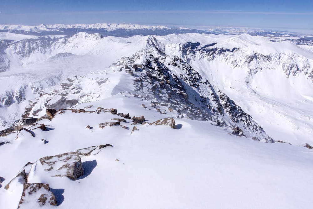
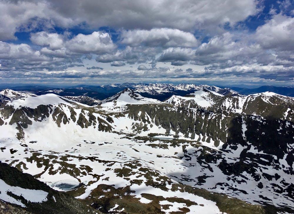
North Star Mountain Summit
Steep hike and ridge traverse to the summit of North Star Mountain on the Continental Divide.
Difficult Hiking
- Distance
- 6.6 km
- Ascent
- 651 m
- Descent
- 69 m
Rugged ridgeline hike to the top of one of Colorado's more accessible 14ers.
Hiking Severe

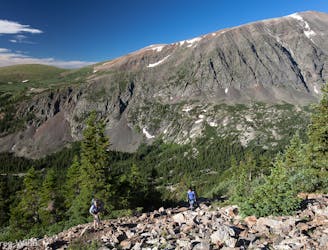
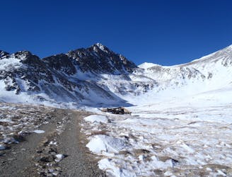
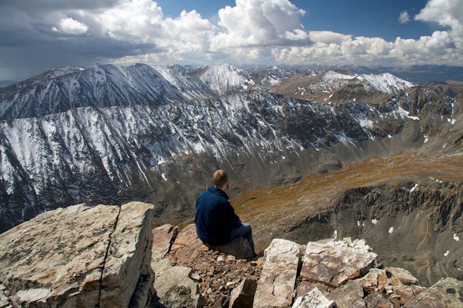
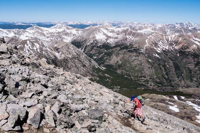
Quandary Peak (14,271 ft), just south of Breckenridge, is one of the more accessible 14ers in Colorado. It’s proximity to a road and relatively straightforward hike make it so, but the journey to the summit is not easy. It requires an elevation gain of nearly 3,500 feet in only 3 miles over rugged terrain, and exposure to potentially extreme weather. The challenge is worthwhile to stand on Quandary’s proud summit, and it makes a good introduction to the rigors of peakbagging Colorado’s 14ers. This route can be done at any time of year, but may require specialized gear like crampons and axes in winter.

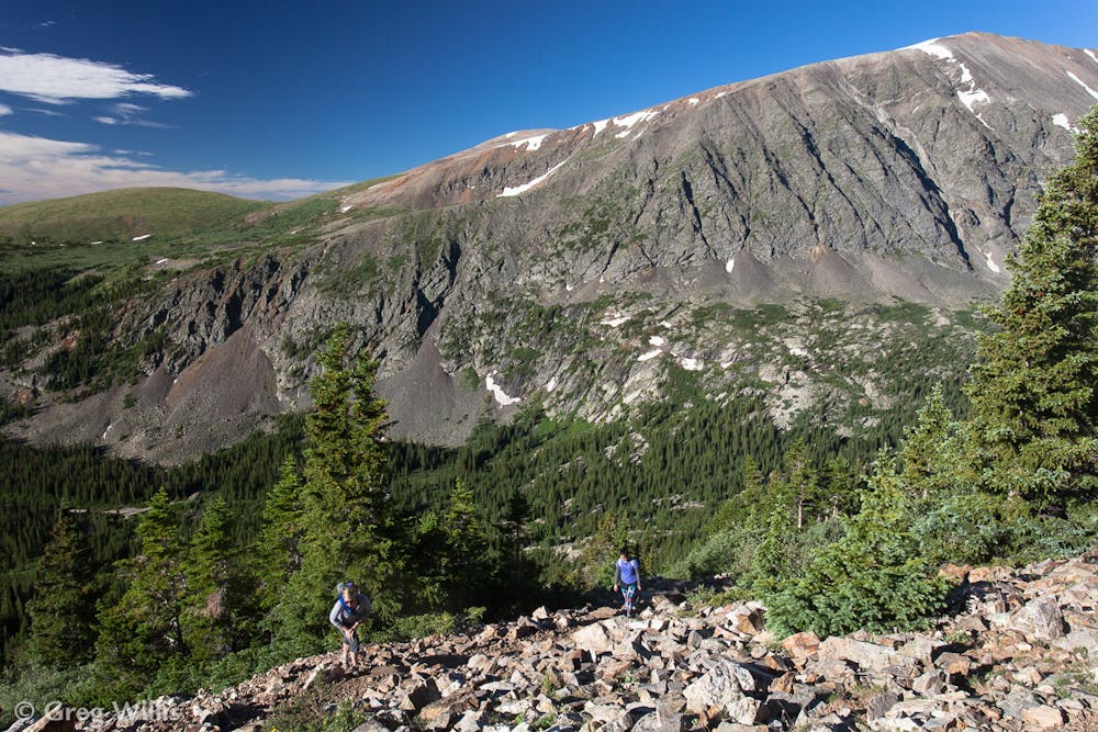

Begin from the signed trailhead just off FR 851 in White Mountain National Forest. The first mile or so is along an old jeep road through the forest, switchbacking ever higher toward the treeline. The trail is well marked and generally easy to follow. Leaving the trees behind, views open up in all directions and you’ll be staring up Quandary’s barren East Ridge and the trail that climbs it.
Follow this path, which is fairly obvious most of the way, and marked with cairns in some places. Trend generally upward, sometimes dipping to one side of the ridge and sometimes staying on top, following the path of least resistance. After about 2.3 miles it steepens significantly and you may have to use your hands to negotiate boulders, loose talus, or snow. Along the way keep an eye out for the famous local residents, mountain goats, which are quite common up here. At just over three miles from the start comes the summit, and huge views over surrounding mountains and ranges. Enjoy your time on top, then descend the way you came. As with other mountains in Colorado, hiking Quandary Peak makes you vulnerable to monsoon storms and lightning. These build almost every afternoon in summer, so start the hike early in order to get back below treeline by noon.
Sources: https://www.outdoorproject.com/adventures/colorado/hikes/quandary-peak-hike-east-ridge https://www.fs.usda.gov/recarea/whiteriver/recreation/bicycling/recarea/?recid=40645&actid=91
Severe
Hiking challenging trails where simple scrambling, with the occasional use of the hands, is a distinct possibility. The trails are often filled with all manner of obstacles both small and large, and the hills are very steep. Obstacles and challenges are often unexpected and can be unpredictable.

Some trail sections have exposed ledges or steep ascents/descents where falling could cause serious injury.
Little chance of being seen or helped in case of an accident.
2.3 km away
Steep hike and ridge traverse to the summit of North Star Mountain on the Continental Divide.
Difficult Hiking
3.3 km away
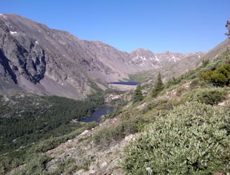
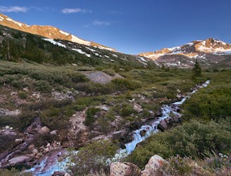
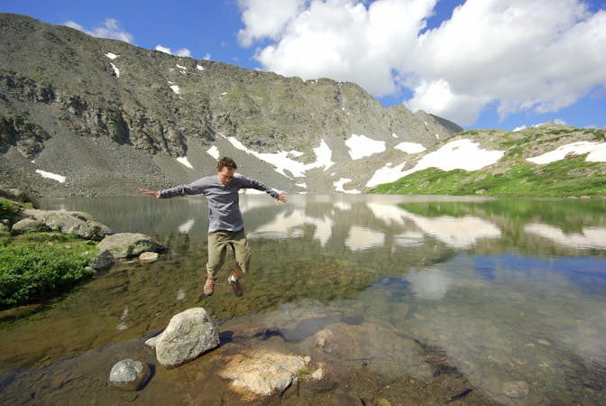
An easy stroll around alpine lakes and waterfalls beneath a 14,000-foot peak near Breckenridge.
Easy Hiking
3.9 km away

A steep old mining road that leads to ruins on the slopes of Red Mountain with great views over the Blue River Valley and surrounding peaks.
Difficult Hiking
6.1 km away
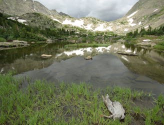
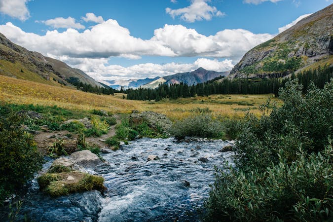
Moderate hike among waterfalls and mining ruins to surpass the treeline and reach alpine lakes in a high valley.
Moderate Hiking
6.1 km away
Trail that climbs a out of a forested valley to an alpine basin with lakes and waterfalls, dotted with historic mine sites along the way.
Moderate Hiking
6.3 km away
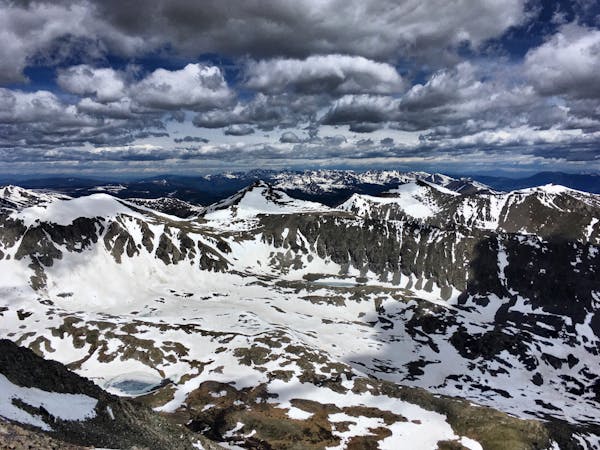
Rugged hike above treeline between two high-elevation lakes near Breckenridge.
Difficult Hiking
8.4 km away
Climb four 14ers in one hike!
Severe Hiking
9 km away
Steep hike on a wide trail to the tallest summit above Breckenridge Ski Resort.
Difficult Hiking
9.6 km away
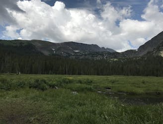
Forested trail near Boreas Pass Road with mountain views and a chance at spotting wildlife.
Moderate Hiking
9.8 km away

Singletrack connector through the forest between Indiana Creek Road and Boreas Pass Road in Breckenridge.
Easy Hiking

16 routes · Hiking
8 routes · Hiking
5 routes · Alpine Climbing · Hiking

25 routes · Alpine Climbing · Hiking
5 routes · Alpine Climbing · Hiking
3 routes · Hiking
6 routes · Alpine Climbing · Hiking

46 routes · Alpine Climbing · Hiking