2.7 km away
Mohawk Lakes
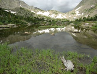
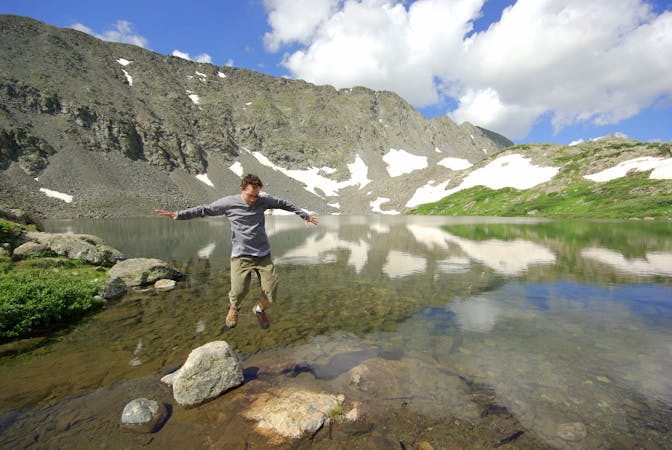
Moderate hike among waterfalls and mining ruins to surpass the treeline and reach alpine lakes in a high valley.
Moderate Hiking
- Distance
- 11 km
- Ascent
- 581 m
- Descent
- 581 m
A steep old mining road that leads to ruins on the slopes of Red Mountain with great views over the Blue River Valley and surrounding peaks.
Hiking Difficult

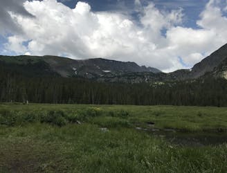
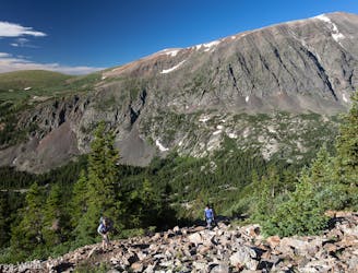
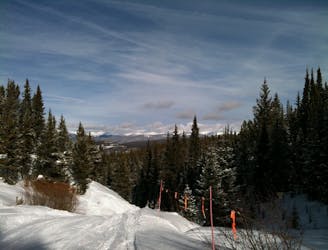
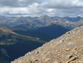
This trail makes a great summer hike or winter snowshoe, climbing to views over the trees on the slopes of Red Mountain at an old mine site. The hike follows the old mining road the whole way, but don’t underestimate the difficulty. It maintains a fairly steep grade and climbs more than 1,000 feet in 2 miles.
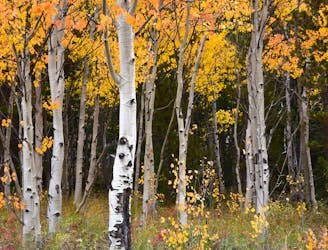
The scenery is dense conifer forest as the road switchbacks upward for the first 1.7 miles. It then contours across the slope of the gulch, where the gradient lessens somewhat and views open up through occasional gaps in the trees. You can see summits to the south including the 14ers Quandary and Lincoln. Follow the road as it crosses the gulch then takes one more switchback to emerge from the trees once more at the old mine site. Part of the wooden structure remains as well as tailings piles and remains of some equipment. Be careful of sharp objects and unstable ground.
It is possible to bushwhack from here to the north ridge of Red Mountain a few hundred feet higher, and even the summit if you wish, but the trail ends at the mine. Return the way you came to the trailhead for a round trip of about 4 miles.
Difficult
Hiking trails where obstacles such as rocks or roots are prevalent. Some obstacles can require care to step over or around. At times, the trail can be worn and eroded. The grade of the trail is generally quite steep, and can often lead to strenuous hiking.

The trail contains some obstacles such as outcroppings and rock which could cause injury.
Away from help but easily accessed.
2.7 km away
Moderate hike among waterfalls and mining ruins to surpass the treeline and reach alpine lakes in a high valley.
Moderate Hiking
2.7 km away
Trail that climbs a out of a forested valley to an alpine basin with lakes and waterfalls, dotted with historic mine sites along the way.
Moderate Hiking
3.9 km away
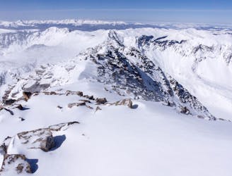
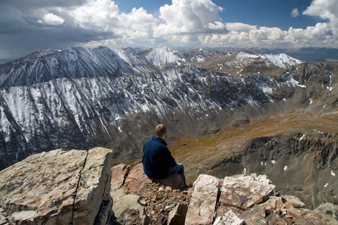
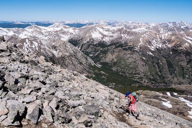
Rugged ridgeline hike to the top of one of Colorado's more accessible 14ers.
Severe Hiking
4.7 km away
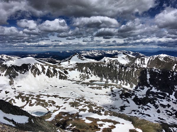
Rugged hike above treeline between two high-elevation lakes near Breckenridge.
Difficult Hiking
5.8 km away
Forested trail near Boreas Pass Road with mountain views and a chance at spotting wildlife.
Moderate Hiking
5.8 km away
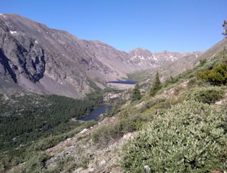
An easy stroll around alpine lakes and waterfalls beneath a 14,000-foot peak near Breckenridge.
Easy Hiking
6 km away
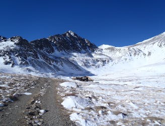
Steep hike and ridge traverse to the summit of North Star Mountain on the Continental Divide.
Difficult Hiking
6.1 km away

Singletrack connector through the forest between Indiana Creek Road and Boreas Pass Road in Breckenridge.
Easy Hiking
6.2 km away
Steep hike on a wide trail to the tallest summit above Breckenridge Ski Resort.
Difficult Hiking
6.6 km away
Steep hike to panoramas atop a 13,000-foot peak just outside of Breckenridge.
Difficult Hiking

16 routes · Hiking
8 routes · Hiking
5 routes · Alpine Climbing · Hiking
3 routes · Hiking
6 routes · Alpine Climbing · Hiking

46 routes · Alpine Climbing · Hiking