735 m away
Sallie Barber Mine Trail
Easy hike up a gentle gradient to the scenic remains of an old mine in a mountain valley.
Easy Hiking
- Distance
- 9.3 km
- Ascent
- 228 m
- Descent
- 228 m
Steep hike to panoramas atop a 13,000-foot peak just outside of Breckenridge.
Hiking Difficult
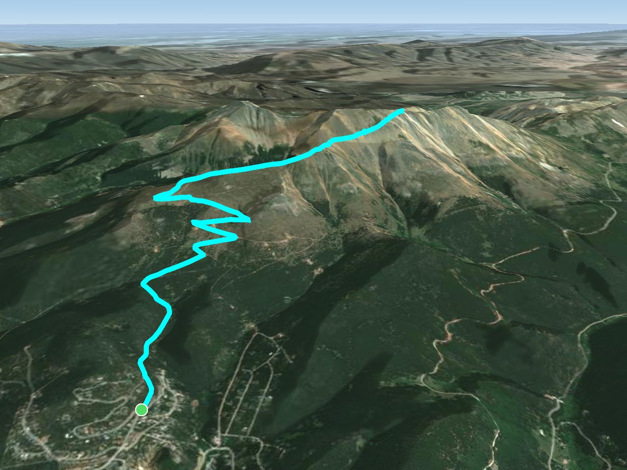
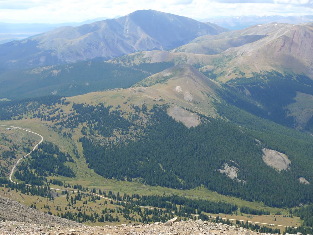
Bald Mountain (13,684 ft) towers over Breckenridge, and the relatively easy hike up its northwest slopes grants some of the best views to be had of the area. The hike is simple to access from town and the trail is easy to follow. Begin from a dirt pull off on Baldy Road. 4WD can drive most of this road when it is open, but regular cars will want to stop about half a mile beyond the edge of the residential area. Just drive as far as you think your vehicle is capable.
This road is the route up Bald Mountain, all the way to the top. It begins in the forest, but views get increasingly better as you leave the trees behind. At 1.5 miles,you will pass the historic Iowa Mill and follow the main road that curves around it. The dense forest immediately gives way to mountain meadows, and great views of Breckenridge unfold. This is also when the road steepens and takes four broad switchbacks, continuing to climb as the trees continue to thin.
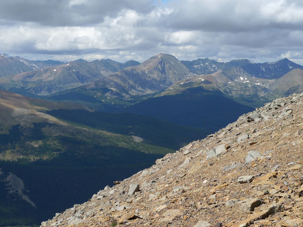
You will pass a few transmission stations on the way up, but they detract little from the scenery. At 3.5 miles the road gains Bald Mountain’s north ridgeline, made of windswept talus now well above all trees. Walk just a bit higher from the road to stand on the spine and look down on both sides of the mountain. The way narrows and steepens as it gets higher, turning into a footpath for about the last mile. It remains straightforward, however, even in snowy conditions. Simply follow the ridge to the top.
The summit is reached in just over 5 miles. If it’s not too cold and windy, take time to enjoy your well-earned 360-degree views. Surrounding peaks include Mt. Guyot (13,370 ft) just to the east and Boreas Mountain (13,082 ft) directly south. The town of Breckenridge and the ski slopes are beautifully set against the Tenmile Range to the northwest. Once you’ve taken it all in, return the way you came.
Sources: https://www.hikingproject.com/trail/7036669/bald-mountain https://www.alltrails.com/trail/us/colorado/bald-mountain
Difficult
Hiking trails where obstacles such as rocks or roots are prevalent. Some obstacles can require care to step over or around. At times, the trail can be worn and eroded. The grade of the trail is generally quite steep, and can often lead to strenuous hiking.

The trail contains some obstacles such as outcroppings and rock which could cause injury.
Away from help but easily accessed.
735 m away
Easy hike up a gentle gradient to the scenic remains of an old mine in a mountain valley.
Easy Hiking
1 km away
Forested trail near Boreas Pass Road with mountain views and a chance at spotting wildlife.
Moderate Hiking
1.5 km away

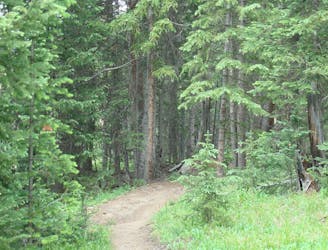
Singletrack connector through the forest between Indiana Creek Road and Boreas Pass Road in Breckenridge.
Easy Hiking
2.3 km away

Hillside hike outside Breckenridge with abandoned mine sites and valley views.
Easy Hiking
3.3 km away
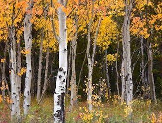
Forest hike that begins from Breckenridge Ski Resort, alongside a trickling stream and beneath brilliant foliage in fall.
Moderate Hiking
4.5 km away
Network of trails through forest and wetlands of a wildlife preserve, nestled between the town and ski resort of Breckenridge.
Easy Hiking
4.6 km away

Hike along a forested ridgeline that follows a historic flume and other mining relics.
Moderate Hiking
4.8 km away
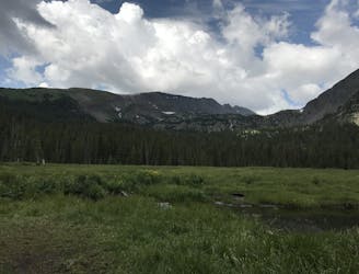
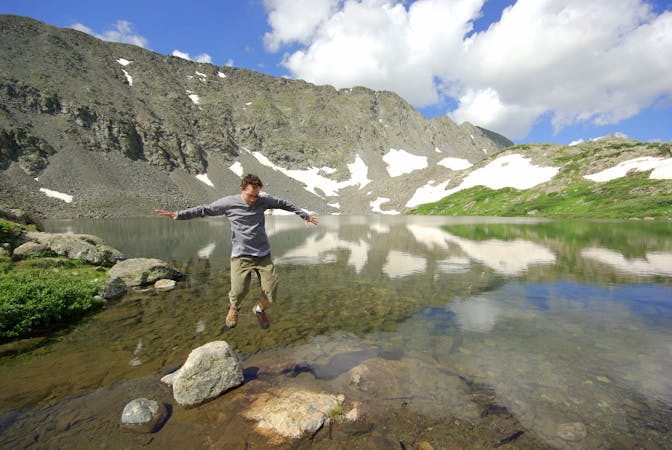
Trail that climbs a out of a forested valley to an alpine basin with lakes and waterfalls, dotted with historic mine sites along the way.
Moderate Hiking
4.8 km away
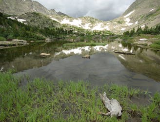
Moderate hike among waterfalls and mining ruins to surpass the treeline and reach alpine lakes in a high valley.
Moderate Hiking
5.6 km away
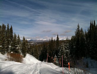
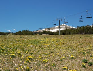
Steep hike on a wide trail to the tallest summit above Breckenridge Ski Resort.
Difficult Hiking

16 routes · Hiking
8 routes · Hiking