735 m away
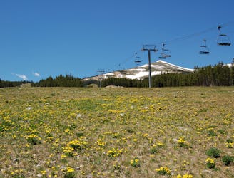
Bald Mountain Summit
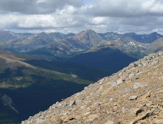
Steep hike to panoramas atop a 13,000-foot peak just outside of Breckenridge.
Difficult Hiking
- Distance
- 16 km
- Ascent
- 949 m
- Descent
- 949 m
Easy hike up a gentle gradient to the scenic remains of an old mine in a mountain valley.
Hiking Easy
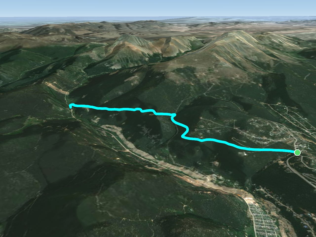
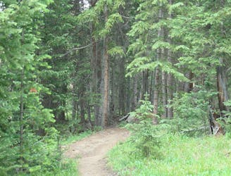
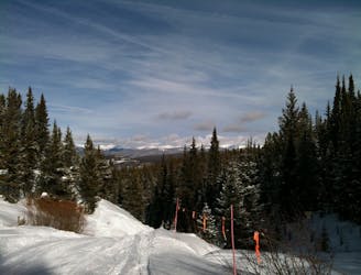
This is an easy hike at the edge of Breckenridge, where residential areas transition into wild mountains. The trailhead is along French Gulch road a few miles east of town, and the route leads west along the forested north-facing slope of this valley below Bald Mountain. The path is an old mining road now closed to vehicles and open to hiking and biking. Other trails in the area provide options for loops of varying distance and difficulty.
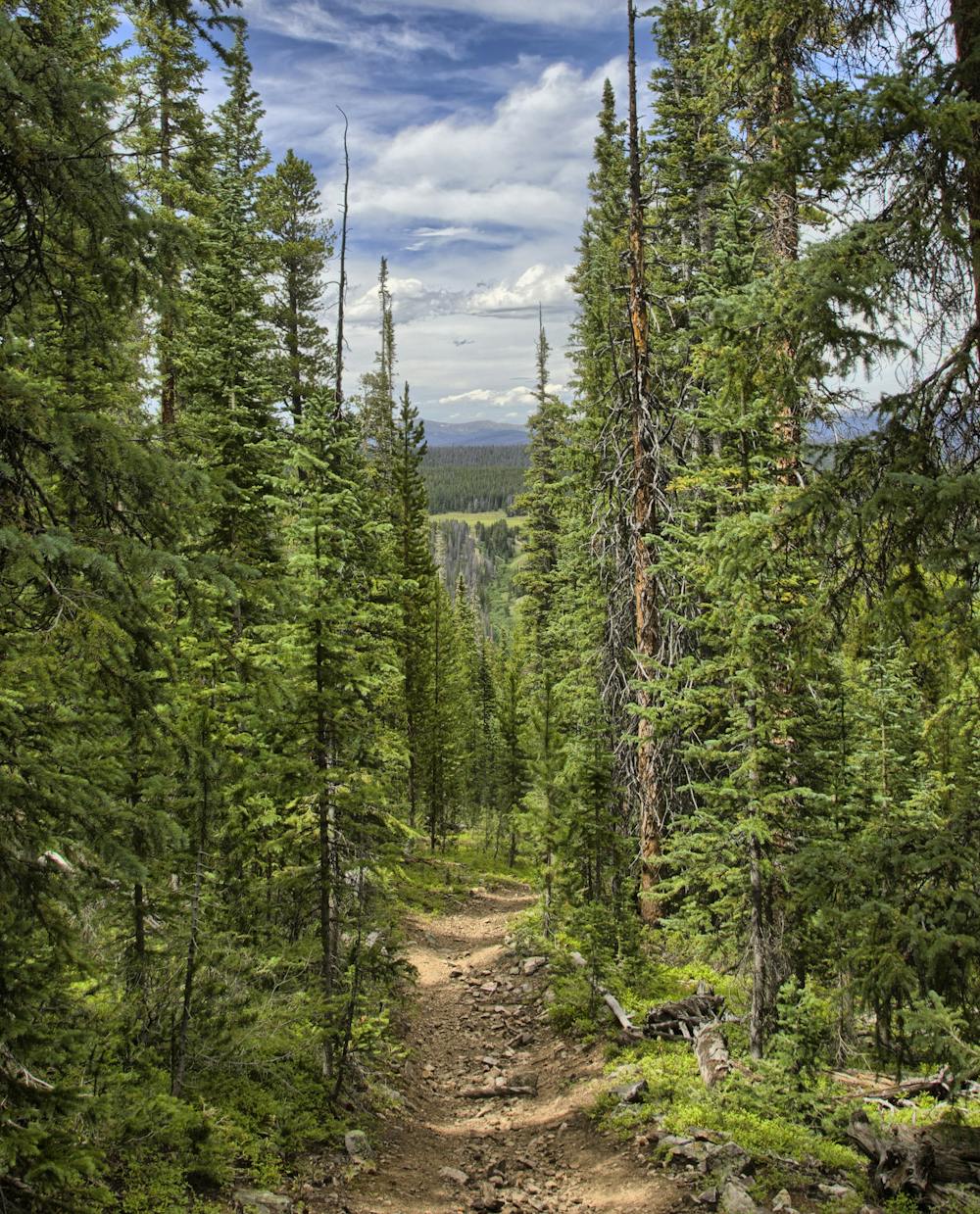

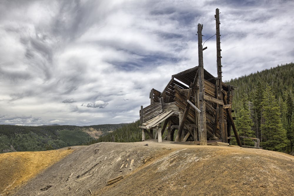
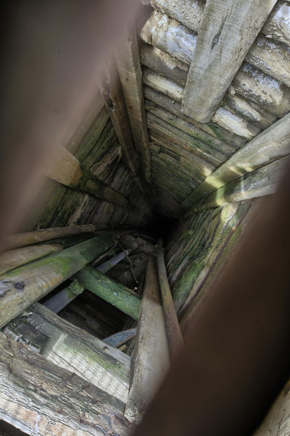
From a small parking area and gate on the south side of French Gulch Road, follow the dirt road which dips down to cross the creek then cuts a climbing traverse gradually upward. The apex is at mile 1.4 at the Old Sallie Barber Mine. A tower and a few buildings still remain here, as well as large tailings piles in a clearing that affords a photogenic view of the valley. Return the way you came or continue down the other side of the hill to meet the paved portion of Sallie Barber Road in another 1.5 miles.
When you hit the pavement, you can turn right onto Barney Ford Trail to head downhill then meet a singletrack that loops eastward back to where you started. Alternatively, you can use Sallie Barber Road as an access to the trail up Bald Mountain. Spur trails within the first mile head uphill from this road to hit the ridgeline and continue to the top.
Sources: https://www.hikingproject.com/trail/7039512/sallie-barber-road https://www.alltrails.com/explore/trail/us/colorado/sallie-barber-mine-trail
Easy
Walking along a well-kept trail that’s mostly flat. No obstacles are present.

The trail contains some obstacles such as outcroppings and rock which could cause injury.

Close to help in case of emergency.
735 m away
Steep hike to panoramas atop a 13,000-foot peak just outside of Breckenridge.
Difficult Hiking
1.1 km away
Forested trail near Boreas Pass Road with mountain views and a chance at spotting wildlife.
Moderate Hiking
1.1 km away

Singletrack connector through the forest between Indiana Creek Road and Boreas Pass Road in Breckenridge.
Easy Hiking
2.4 km away

Hillside hike outside Breckenridge with abandoned mine sites and valley views.
Easy Hiking
2.7 km away
Forest hike that begins from Breckenridge Ski Resort, alongside a trickling stream and beneath brilliant foliage in fall.
Moderate Hiking
3.8 km away
Network of trails through forest and wetlands of a wildlife preserve, nestled between the town and ski resort of Breckenridge.
Easy Hiking
4.8 km away
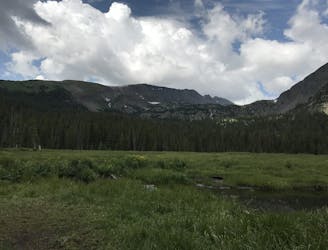
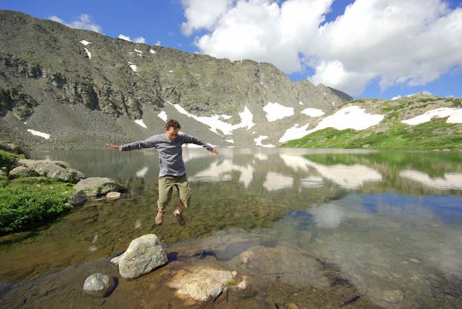
Trail that climbs a out of a forested valley to an alpine basin with lakes and waterfalls, dotted with historic mine sites along the way.
Moderate Hiking
4.8 km away
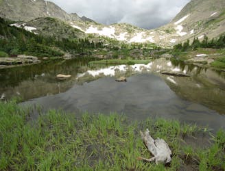
Moderate hike among waterfalls and mining ruins to surpass the treeline and reach alpine lakes in a high valley.
Moderate Hiking
5.1 km away

Hike along a forested ridgeline that follows a historic flume and other mining relics.
Moderate Hiking
5.1 km away
Steep hike on a wide trail to the tallest summit above Breckenridge Ski Resort.
Difficult Hiking

16 routes · Hiking
8 routes · Hiking