2.7 km away
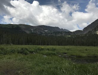
Cucumber Gulch Trails
Network of trails through forest and wetlands of a wildlife preserve, nestled between the town and ski resort of Breckenridge.
Easy Hiking
- Distance
- 3.4 km
- Ascent
- 87 m
- Descent
- 87 m
Steep hike on a wide trail to the tallest summit above Breckenridge Ski Resort.
Hiking Difficult

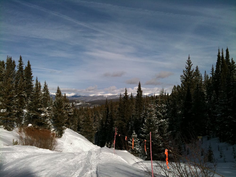
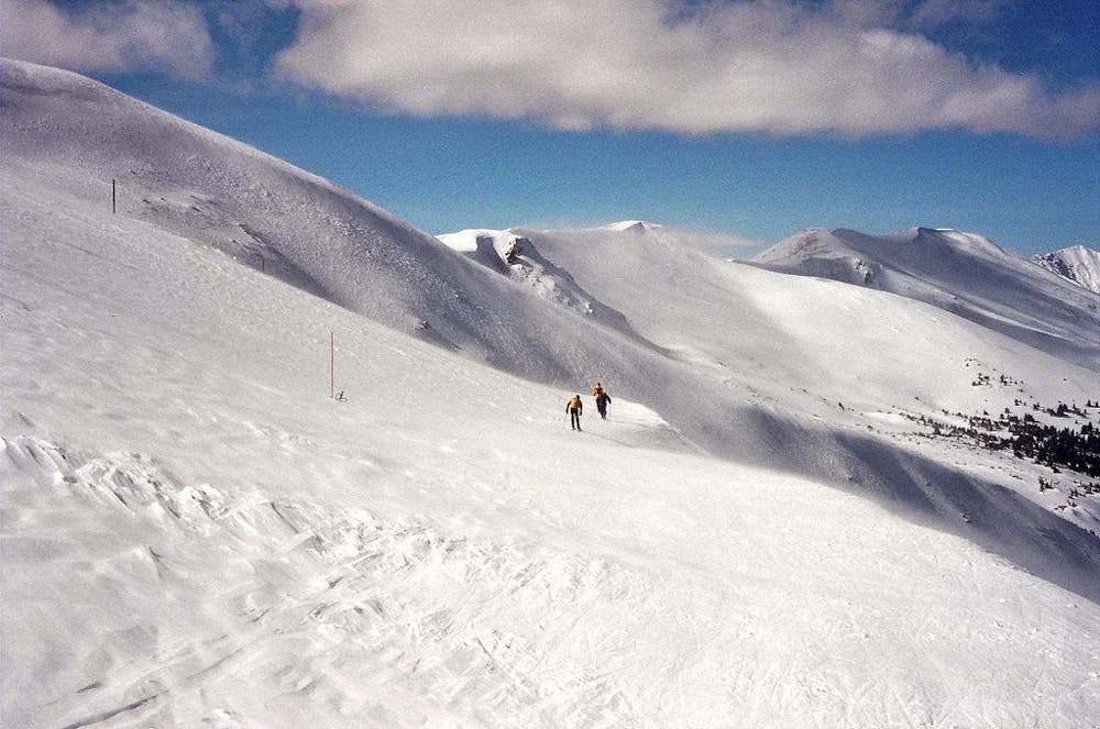
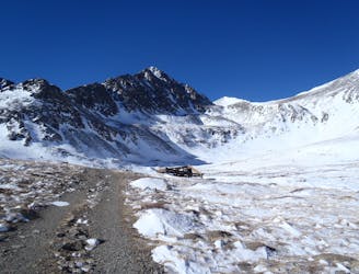
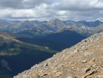
Peak 10, at 13,639 feet, is the tallest of the five mountains that form Breckenridge Ski Resort. It is the southernmost of these, all part of the impressive Tenmile Range. It’s summit is therefore one of the best views around, and is understandably popular. Multiple routes reach the top, but the most straightforward is the service road that ascends from the ski area. This is the Peak 10 Trail, also known as East Ridge. If the resort is still open, you can even take a lift to get part of the way up, assuming backcountry access is open.
The route is most often done in summer, when snow free. You park in the ski area, which is open for hiking and bike access, and walk from there. Take County Road 751 (Peak 9 Road) past The Overlook Restaurant. You can generally park at the top of the ski lifts. 4WD vehicles can go farther, but this is considered the start of the hike. You essentially follow the road up the ridge to the top. The road ends just shy of the summit where you walk across a few hundred feet of talus to earn the real views.
From the top you can see 360 degrees: the Tenmile Range stretching away on either side, the Gore Range farther north, the Mosquito Range farther south, and more mountains unfolding in all directions. A high saddle connects Peak 10 to Crystal Peak, so some choose to cross this and link the two. To descend, you can return the way you came or make a longer loop through the Crystal Creek drainage and Spruce Creek Trail.
Sources: https://www.summitpost.org/peak-10/153047 https://www.alltrails.com/explore/trail/us/colorado/peak-10-trail
Difficult
Hiking trails where obstacles such as rocks or roots are prevalent. Some obstacles can require care to step over or around. At times, the trail can be worn and eroded. The grade of the trail is generally quite steep, and can often lead to strenuous hiking.

The trail contains some obstacles such as outcroppings and rock which could cause injury.

Close to help in case of emergency.
2.7 km away
Network of trails through forest and wetlands of a wildlife preserve, nestled between the town and ski resort of Breckenridge.
Easy Hiking
2.7 km away
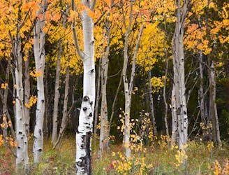
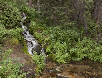
Forest hike that begins from Breckenridge Ski Resort, alongside a trickling stream and beneath brilliant foliage in fall.
Moderate Hiking
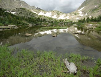
3.1 km away
Rugged hike above treeline between two high-elevation lakes near Breckenridge.
Difficult Hiking
3.6 km away
Trail that climbs a out of a forested valley to an alpine basin with lakes and waterfalls, dotted with historic mine sites along the way.
Moderate Hiking
3.6 km away
Moderate hike among waterfalls and mining ruins to surpass the treeline and reach alpine lakes in a high valley.
Moderate Hiking
4.1 km away

Singletrack connector through the forest between Indiana Creek Road and Boreas Pass Road in Breckenridge.
Easy Hiking
4.8 km away
Forested trail near Boreas Pass Road with mountain views and a chance at spotting wildlife.
Moderate Hiking
5.1 km away
Easy hike up a gentle gradient to the scenic remains of an old mine in a mountain valley.
Easy Hiking
5.6 km away
Steep hike to panoramas atop a 13,000-foot peak just outside of Breckenridge.
Difficult Hiking
6 km away
A 67-mile section of the CDT ideal as a section hike ending with one of Colorado's best 14ers - Grays Peak.
Severe Hiking

16 routes · Hiking
8 routes · Hiking

10 routes · Hiking

40 routes · Hiking