907 m away
Indiana Gulch

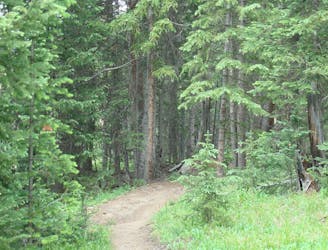
Singletrack connector through the forest between Indiana Creek Road and Boreas Pass Road in Breckenridge.
Easy Hiking
- Distance
- 4.6 km
- Ascent
- 115 m
- Descent
- 115 m
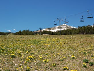
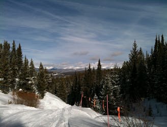
Forested trail near Boreas Pass Road with mountain views and a chance at spotting wildlife.
Hiking Moderate

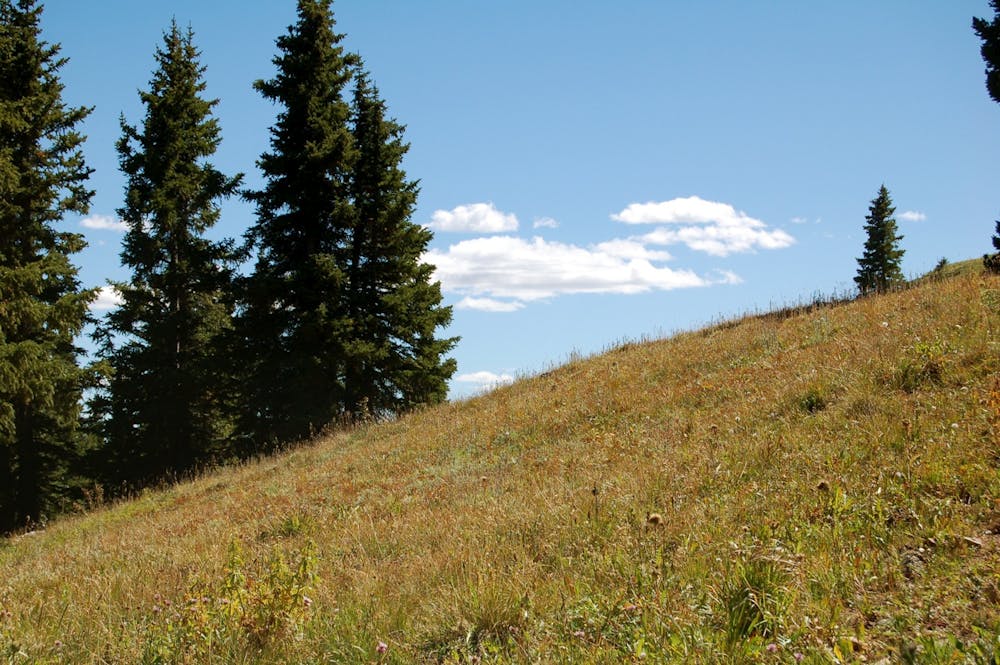
This pleasant hike or snowshoe begins from a small pullout on the uphill side of Boreas Pass Road on the edge of the neighborhood. This is the Boreas Pass winter trailhead. From here the trail leads up and down, but mostly up, through conifer forest and a series of mountain meadows. Wildflowers are beautiful in early summer, colored foliage in fall, and you may see wildlife year round. Vistas are limited most of the way by trees, but occasional gaps give a glimpse over the valley.
When the road is open, you can alternatively begin at the higher end and travel the opposite way, finishing at the winter trailhead. Complete a loop by hiking along Boreas Pass Road, which is shared with cars during the summer but offers expansive views the whole way. This relatively easy hike is great for a leisurely stroll or acclimating to the altitude of Breckenridge.
Sources: https://fdrd.org/files/5814/0561/1757/BakersTankTS.pdf https://www.fs.usda.gov/recarea/whiteriver/recreation/bicycling/recarea/?recid=40631&actid=104 https://www.mtbproject.com/trail/5604071/bakers-tank-trail
Moderate
Hiking along trails with some uneven terrain and small hills. Small rocks and roots may be present.

The trail contains some obstacles such as outcroppings and rock which could cause injury.

Close to help in case of emergency.
907 m away
Singletrack connector through the forest between Indiana Creek Road and Boreas Pass Road in Breckenridge.
Easy Hiking
1 km away
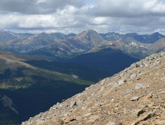
Steep hike to panoramas atop a 13,000-foot peak just outside of Breckenridge.
Difficult Hiking
1.1 km away
Easy hike up a gentle gradient to the scenic remains of an old mine in a mountain valley.
Easy Hiking
2.8 km away
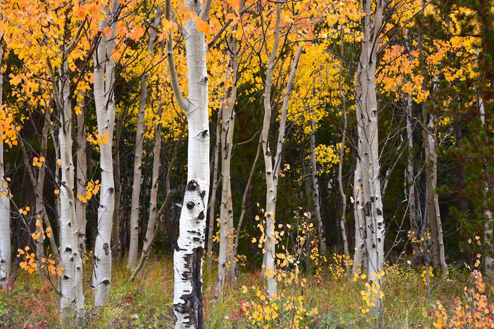
Forest hike that begins from Breckenridge Ski Resort, alongside a trickling stream and beneath brilliant foliage in fall.
Moderate Hiking
3.3 km away

Hillside hike outside Breckenridge with abandoned mine sites and valley views.
Easy Hiking
3.8 km away
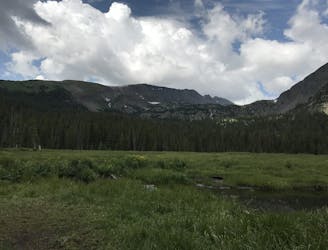
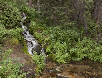
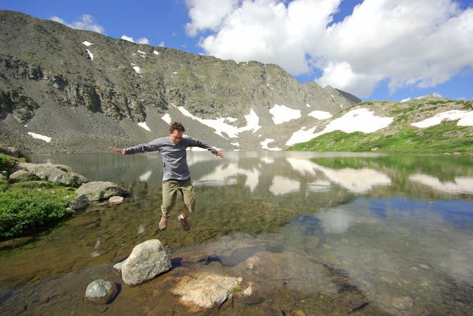
Trail that climbs a out of a forested valley to an alpine basin with lakes and waterfalls, dotted with historic mine sites along the way.
Moderate Hiking
3.8 km away
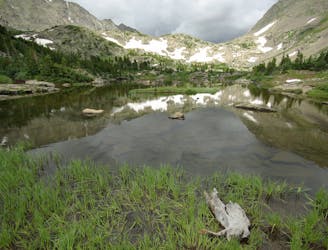
Moderate hike among waterfalls and mining ruins to surpass the treeline and reach alpine lakes in a high valley.
Moderate Hiking
4.1 km away
Network of trails through forest and wetlands of a wildlife preserve, nestled between the town and ski resort of Breckenridge.
Easy Hiking
4.8 km away
Steep hike on a wide trail to the tallest summit above Breckenridge Ski Resort.
Difficult Hiking
5.5 km away

Hike along a forested ridgeline that follows a historic flume and other mining relics.
Moderate Hiking

16 routes · Hiking
8 routes · Hiking