392 m away
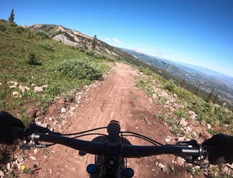
Rim Trail Loop
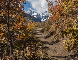
A locals favorite with a moderate climb and descent with great views of Snowmass mountain and the Roaring Fork Valley.
Moderate Mountain Biking
- Distance
- 17 km
- Ascent
- 613 m
- Descent
- 613 m
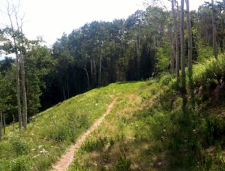
Climb through meadows, shrubbery, and small trees. Not technically challenging but physically demanding.
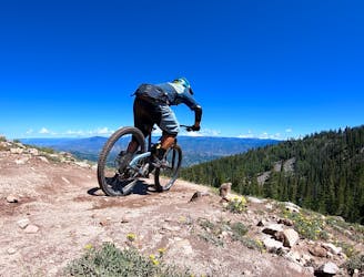
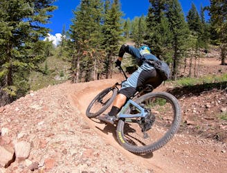
Mountain Biking Moderate

This is a smooth, singletrack ride that is generally ridden as a climb in order to access Deadline downhill trail, or other trails within the sky mountain park trail network. This trail is moderately steep, and climbs nearly the entire way. There is very little technical difficulty besides a few steep switchbacks and a few spots where the trail is lightly rocky or gravel, but it is physically demanding and there are only a few flat sections. Views are excellent throughout the ride, and there is good tree cover at lower elevation, but the top portion of the trail will be exposed meadows and small scrub brush.
Moderate
Mostly stable trail tread with some variability, with unavoidable obstacles 8in/20cm tall or less. Other obstacles such as rock gullies and steep sections may exist. Ideal for lower intermediate riders.
392 m away
A locals favorite with a moderate climb and descent with great views of Snowmass mountain and the Roaring Fork Valley.
Moderate Mountain Biking
4.3 km away
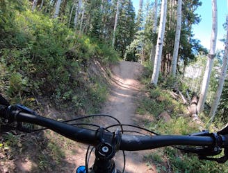
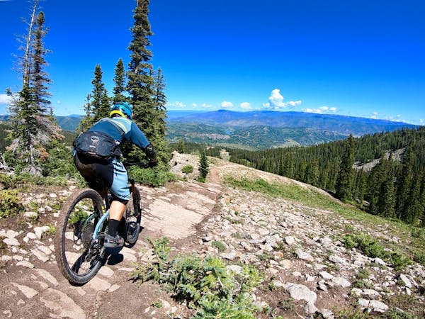
An excellent intermediate progression trail.
Moderate Mountain Biking
4.3 km away
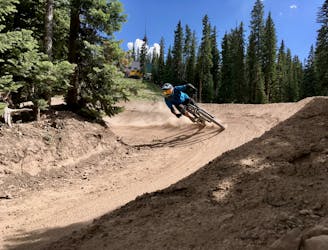
Snowmass's iconic black diamond jump line.
Severe Mountain Biking
4.3 km away
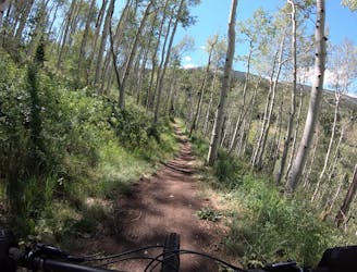
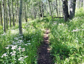
A delightful beginner trail that passes through a stunning grove of aspens.
Easy Mountain Biking
4.9 km away
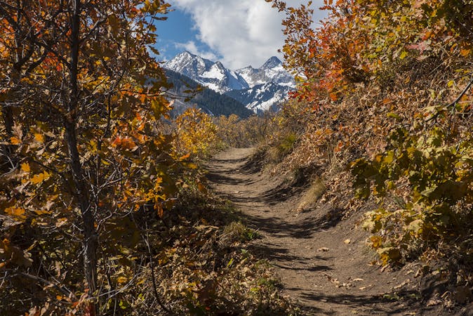
A classic point-to-point singletrack running from Snowmass to Buttermilk.
Difficult Mountain Biking
6 km away
A ripping black diamond trail harkening back to the old days of DH riding.
Severe Mountain Biking
6.3 km away
The OG intermediate jump run in Snowmass's upper zone.
Difficult Mountain Biking
6.3 km away
The best intermediate flow trail in the state of Colorado!
Moderate Mountain Biking
6.8 km away
A straightforward figure-8 ride on Buttermilk Mountain.
Difficult Mountain Biking
6 routes · Mountain Biking
5 routes · Mountain Biking