2.8 km away
Oregon Trail Reserve: Rim Trail Loop
Educational walk along the actual path of the Oregon Trail in Boise.
Easy Hiking
- Distance
- 3 km
- Ascent
- 22 m
- Descent
- 22 m
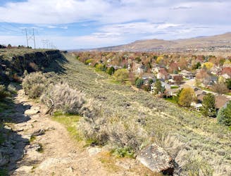
Explore Boise's east foothills with this linkup of trails in a wildlife refuge.
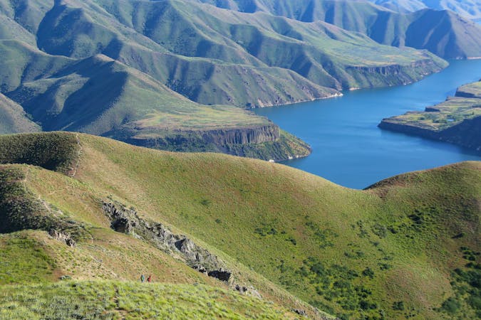
Hiking Moderate

If you're looking for a workout hike with views on the east side of town, this loop makes a good choice. It uses Cobb Trail, a couple of 4WD roads, and West Highland Valley trail to ascend and descend the lower half of Lucky Peak within a designated wildlife area.
Going uphill on Cobb, you'll walk through an old homestead site with planted trees, then go steeply up the rocky, narrow trail to get higher on the mountain. From open sagebrush meadows, you'll gaze over neighborhoods and the Boise River and out across the Treasure Valley.
Eventually, Cobb trail meets Lucky Peak road, which makes a rolling traverse to meet with Shaw Mtn. Road. Both of these are open to vehicles May through November, but traffic is usually light. Descend quickly on these roads to reach a hiker-only path beside an archery range. You might see deer and elk-shaped targets down the hill. From there, the rest of the descent is on West Highland Valley trail, which is a wide dirt path through a sunny gulch.
This hike is best in spring when temps are cool and when yellow flowers paint the slopes. You can keep hiking it all summer as well, but you'll want an early start to beat the heat because there is almost no shade.
Moderate
Hiking along trails with some uneven terrain and small hills. Small rocks and roots may be present.

The trail contains some obstacles such as outcroppings and rock which could cause injury.
Away from help but easily accessed.
2.8 km away
Educational walk along the actual path of the Oregon Trail in Boise.
Easy Hiking
3 km away

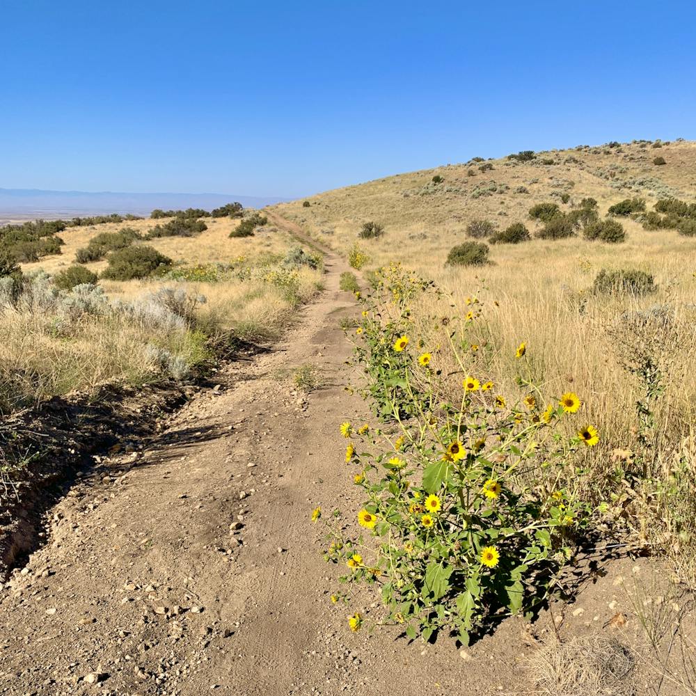
A steep hike through prime wildlife habitat, and with exceptional wildflowers in spring.
Moderate Hiking
5.9 km away
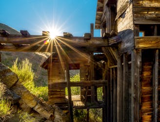
Reach an abandoned gold mine with buildings still standing, by walking up a rough road through mountainside meadows.
Moderate Hiking
8.2 km away
Boise's #1 hike, plus bonus scenery by making the loop.
Difficult Hiking
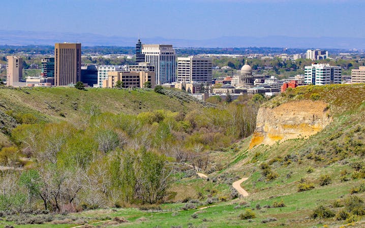
8.2 km away
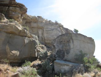
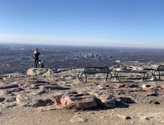
Quick hike in the foothills near downtown, with striking geology and sweeping views of the city.
Moderate Hiking
10 routes · Hiking
10 routes · Hiking