2.5 km away
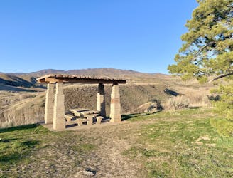
Oregon Trail Reserve: Rim Trail Loop
Educational walk along the actual path of the Oregon Trail in Boise.
Easy Hiking
- Distance
- 3 km
- Ascent
- 22 m
- Descent
- 22 m
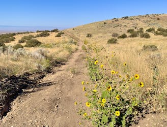
A steep hike through prime wildlife habitat, and with exceptional wildflowers in spring.
Hiking Moderate

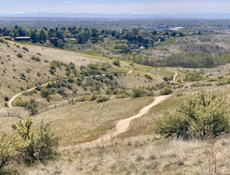
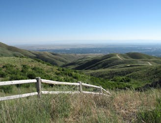
This trail is a stiff workout with wonderful views over East Boise, in an area that holds a lot of history and is now a wildlife refuge. As you look for mule deer and birds of prey, you may also notice planted rows of trees, or cut terraces in the hillsides. Homesteaders once settled here, and generations of ranching and farming followed. You may find natural springs and snowmelt creeks that sustained them, and which have always been crucial for wildlife. You'll also witness regeneration in the wake of wildfire, including the wildflowers that readily burst from seared soil.
The trail climbs nearly 1000 feet in two miles, on a wide dirt path that's steep but safe. The top of the trail is a junction with Lucky Peak 4WD road, where you may continue walking to explore further, or turn around the way you came.
The hike is best in late April and through May, after trails have dried from the winter, and when many blossoms are at their peak. The summer sun is quite hot on these exposed hillsides, but cool mornings and evenings are still good times to hike, and sunflowers bloom into late summer.
Moderate
Hiking along trails with some uneven terrain and small hills. Small rocks and roots may be present.

The path is on completely flat land and potential injury is limited to falling over.
Close to help in case of emergency.
2.5 km away
Educational walk along the actual path of the Oregon Trail in Boise.
Easy Hiking
3 km away
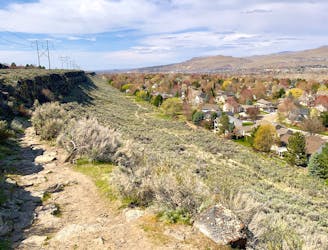
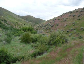
Explore Boise's east foothills with this linkup of trails in a wildlife refuge.
Moderate Hiking
5.2 km away
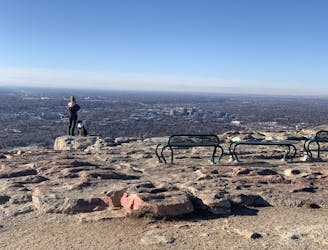
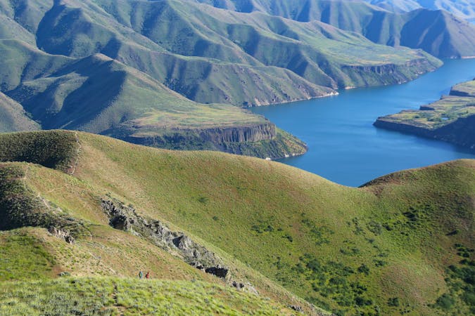
Boise's #1 hike, plus bonus scenery by making the loop.
Difficult Hiking
5.2 km away
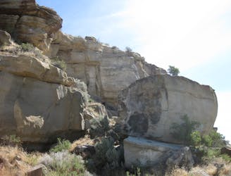
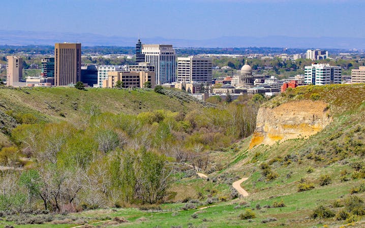
Quick hike in the foothills near downtown, with striking geology and sweeping views of the city.
Moderate Hiking
7.4 km away
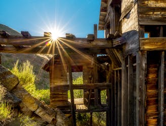
Reach an abandoned gold mine with buildings still standing, by walking up a rough road through mountainside meadows.
Moderate Hiking
7.7 km away
Hike uphill to nice views from both sides of a ridge near downtown Boise.
Moderate Hiking
7.7 km away
A loop with some elevation gain and varied scenery, using Ridge Crest and Central Ridge trails
Moderate Hiking
7.7 km away

Short and easy hike among prairie and forest near a little creek.
Easy Hiking
9.1 km away
A hiker-only trail with gorgeous views and lessons on nature in the Boise Foothills.
Moderate Hiking
9.7 km away
A nicely varied loop in the foothills near downtown, through a sheltered creek valley and across panoramic slopes.
Moderate Hiking
10 routes · Hiking
10 routes · Hiking