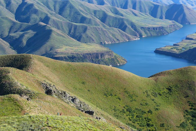
Ridge Crest and Central Ridge Loop
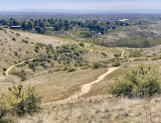
A loop with some elevation gain and varied scenery, using Ridge Crest and Central Ridge trails
Moderate Hiking
- Distance
- 3.9 km
- Ascent
- 114 m
- Descent
- 114 m
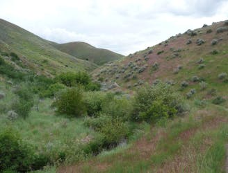
Short and easy hike among prairie and forest near a little creek.
Hiking Easy

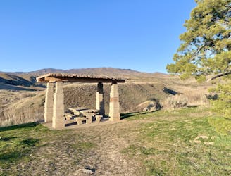
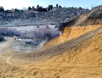
Located in the Military Reserve near downtown Boise, this loop is very accessible and offers something year round for any type of hiker. It's a relatively smooth trail with very little elevation gain, and it explores a handful of different habitats in a sheltered valley.
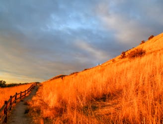
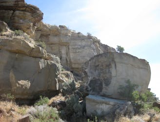
You'll see sagebrush prairie on the hillsides as well as lush forest beside the creek. There are orange sandstone cliffs pocked with tiny caves, and views up toward the mountains in the background. Late spring and summer come with shifting wildflower displays, and in fall the trees show off their flair.
Cottonwood Creek flows with water for much of the year, making a crucial water source and unique habitat for wildlife. Keep watch for quail, raptors, rabbits, deer, and other residents. Also look for the little waterfall on the creek near the trailhead.
This hike is good at any time of year, as long as it's not muddy. Even in the heat of summer the trees provide some shade, but it's best to come early or late in the day when the sun is less intense.
Easy
Walking along a well-kept trail that’s mostly flat. No obstacles are present.

The path is on completely flat land and potential injury is limited to falling over.
Close to help in case of emergency.
A loop with some elevation gain and varied scenery, using Ridge Crest and Central Ridge trails
Moderate Hiking
1 m away
Hike uphill to nice views from both sides of a ridge near downtown Boise.
Moderate Hiking
2.3 km away

A short loop with a lot of variety, and different sights for every season.
Easy Hiking
2.4 km away
Scenic loop with steep hills and shady forest in the North End of Boise.
Moderate Hiking
2.4 km away
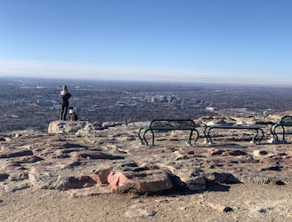
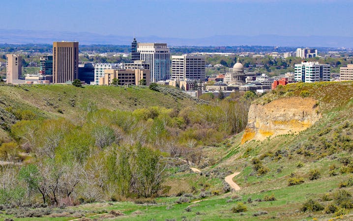
Quick hike in the foothills near downtown, with striking geology and sweeping views of the city.
Moderate Hiking
2.4 km away
Boise's #1 hike, plus bonus scenery by making the loop.
Difficult Hiking
2.5 km away
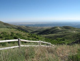
A nicely varied loop in the foothills near downtown, through a sheltered creek valley and across panoramic slopes.
Moderate Hiking
2.5 km away
A short and scenic loop with views over the city and some colorful geology.
Easy Hiking
3.4 km away
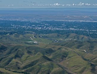
A scenic jaunt close to downtown, in a network of many popular trails.
Moderate Hiking
4.5 km away
A hiker-only trail with gorgeous views and lessons on nature in the Boise Foothills.
Moderate Hiking
10 routes · Hiking
10 routes · Hiking