1.2 km away
Camel's Back East Side Loop
Scenic loop with steep hills and shady forest in the North End of Boise.
Moderate Hiking
- Distance
- 2.3 km
- Ascent
- 69 m
- Descent
- 70 m
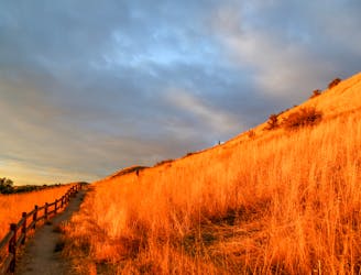
A scenic jaunt close to downtown, in a network of many popular trails.
Hiking Moderate
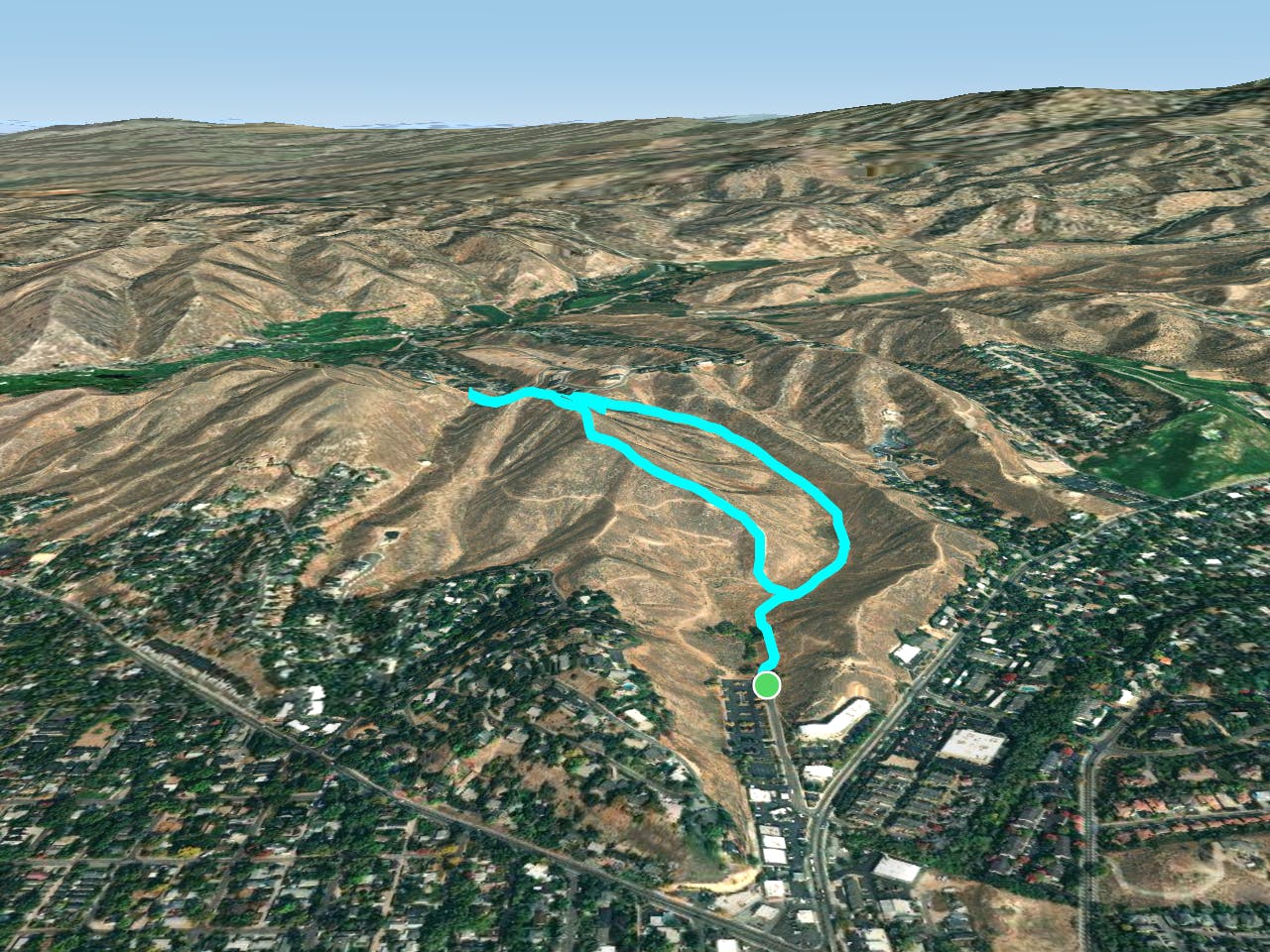
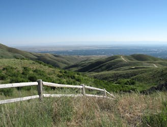
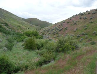
Harrison Hollow is a trail network just north of downtown, popular for its convenient access plus great views. On any given day, you'll find lots of people here––hiking, walking dogs, jogging, and biking. The assortment of trails makes it easy to spread out and find uncrowded views, however.
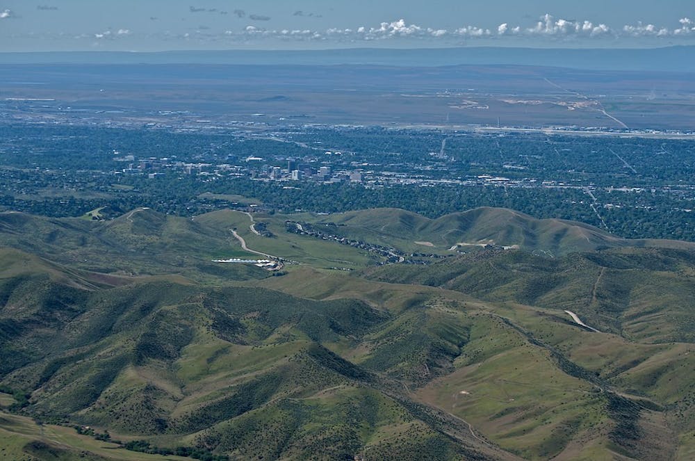
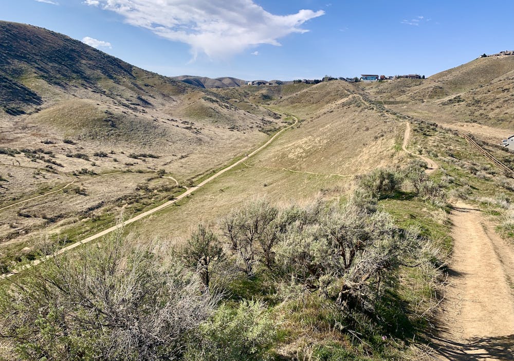
The track mapped here is just one loop you could make, out of many possibilities. It follows the mellow Harrison Hollow Trail uphill, then climbs more steeply to Kemper's Ridge. On the ridge, you'll encounter some seriously steep sections, but also find phenomenal views over the city and up to the mountains.
The lower and flatter trails, like Harrison Hollow, are good in any weather, but you'll want dry conditions for the trails higher in the hills. They get very slick, and they are easily damaged when muddy.
Source: https://www.ridgetorivers.org/
Moderate
Hiking along trails with some uneven terrain and small hills. Small rocks and roots may be present.

The trail contains some obstacles such as outcroppings and rock which could cause injury.

Close to help in case of emergency.
1.2 km away
Scenic loop with steep hills and shady forest in the North End of Boise.
Moderate Hiking
1.3 km away

A short loop with a lot of variety, and different sights for every season.
Easy Hiking
1.9 km away
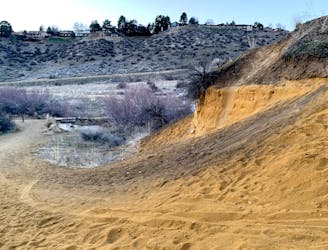
A short and scenic loop with views over the city and some colorful geology.
Easy Hiking
1.9 km away
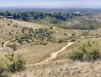
A nicely varied loop in the foothills near downtown, through a sheltered creek valley and across panoramic slopes.
Moderate Hiking
3.4 km away

Short and easy hike among prairie and forest near a little creek.
Easy Hiking
3.4 km away
A loop with some elevation gain and varied scenery, using Ridge Crest and Central Ridge trails
Moderate Hiking
3.4 km away
Hike uphill to nice views from both sides of a ridge near downtown Boise.
Moderate Hiking
4.1 km away

A shorter version of a trail loop through Polecat Gulch
Moderate Hiking
5.1 km away
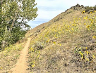
A hiker-only trail with gorgeous views and lessons on nature in the Boise Foothills.
Moderate Hiking
5.6 km away
Walk through a deep canyon in the Boise Foothills, beside a rare perennial stream.
Moderate Hiking
10 routes · Hiking
10 routes · Hiking