62 m away
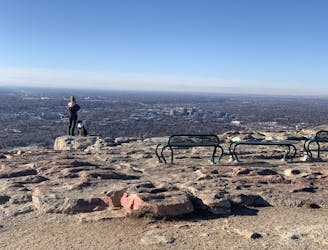
Camel's Back East Side Loop
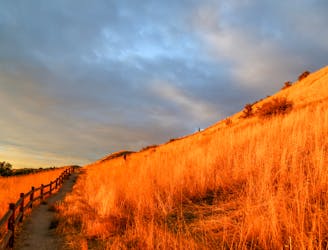
Scenic loop with steep hills and shady forest in the North End of Boise.
Moderate Hiking
- Distance
- 2.3 km
- Ascent
- 69 m
- Descent
- 70 m
A short loop with a lot of variety, and different sights for every season.
Hiking Easy

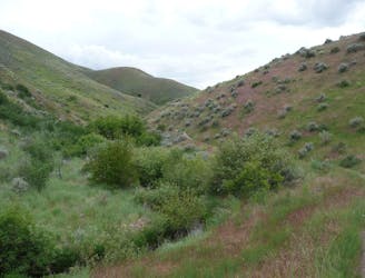
The Grove and Chickadee Ridge are two distinct trails that can be made into a loop. You could just as well hike one or the other depending on your preference or the weather. The Grove is a flat and wide trail among tall trees, with a creek nearby. Thanks to the shade, it can be comfortable even on a hot day. The path is also suitable for strollers and some wheelchairs.
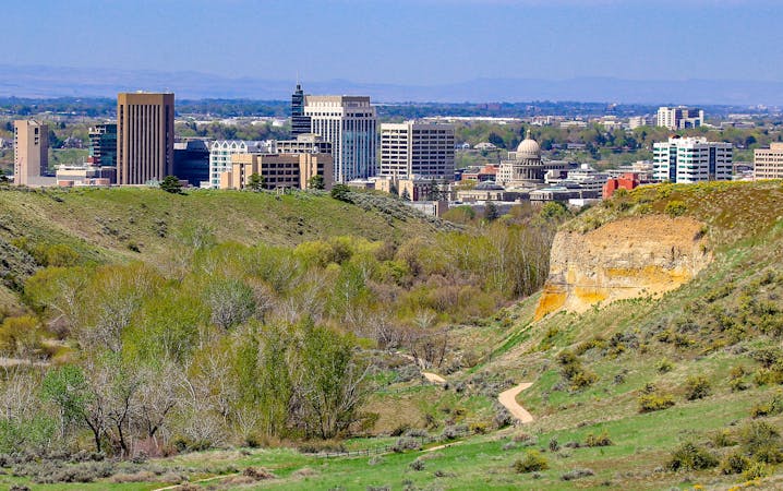
Chickadee Ridge, on the other hand, goes up a steep section on a sun-exposed hill. From there you'll look over the grove below, and earn a view of the city beyond. The panorama and the rugged trail make this one especially fun, but it's much less enjoyable in the heat or the wind.
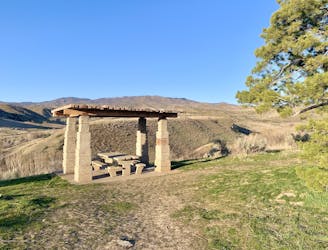
To connect the two trails you'll have to cross 8th Street Extension and walk a short section of gravel road. This part is much less scenic, but short. For a bonus activity, you could stop at the Foothills Learning Center near Hulls Gulch trailhead. This facility has a native plant garden and a picnic area for anyone to enjoy.
Easy
Walking along a well-kept trail that’s mostly flat. No obstacles are present.

The trail contains some obstacles such as outcroppings and rock which could cause injury.

Close to help in case of emergency.
62 m away
Scenic loop with steep hills and shady forest in the North End of Boise.
Moderate Hiking
848 m away
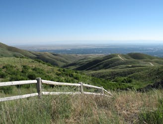
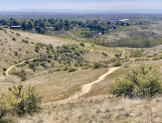
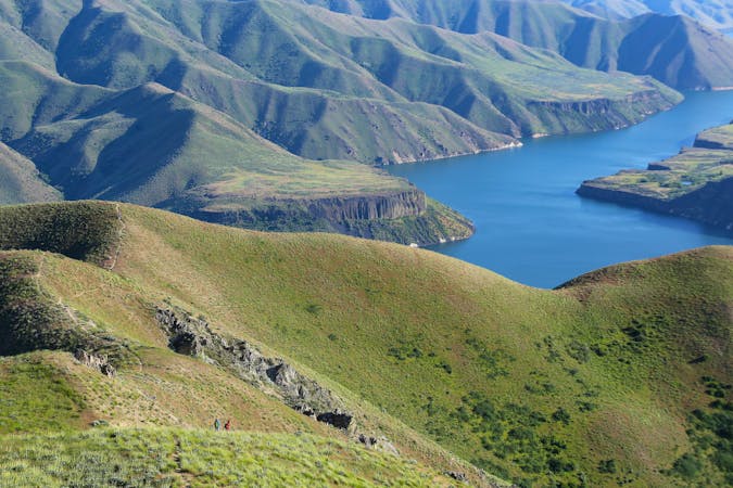
A nicely varied loop in the foothills near downtown, through a sheltered creek valley and across panoramic slopes.
Moderate Hiking
852 m away
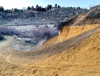
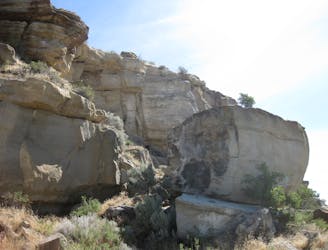
A short and scenic loop with views over the city and some colorful geology.
Easy Hiking
1.3 km away
A scenic jaunt close to downtown, in a network of many popular trails.
Moderate Hiking
2.3 km away

Short and easy hike among prairie and forest near a little creek.
Easy Hiking
2.3 km away
A loop with some elevation gain and varied scenery, using Ridge Crest and Central Ridge trails
Moderate Hiking
2.3 km away
Hike uphill to nice views from both sides of a ridge near downtown Boise.
Moderate Hiking
4.1 km away
A hiker-only trail with gorgeous views and lessons on nature in the Boise Foothills.
Moderate Hiking
4.7 km away
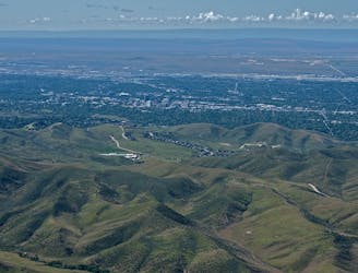
Quick hike in the foothills near downtown, with striking geology and sweeping views of the city.
Moderate Hiking
4.7 km away
Boise's #1 hike, plus bonus scenery by making the loop.
Difficult Hiking
10 routes · Hiking
10 routes · Hiking