62 m away
The Grove and Chickadee Ridge

A short loop with a lot of variety, and different sights for every season.
Easy Hiking
- Distance
- 2.2 km
- Ascent
- 46 m
- Descent
- 47 m
Scenic loop with steep hills and shady forest in the North End of Boise.
Hiking Moderate

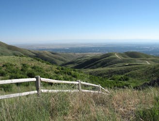
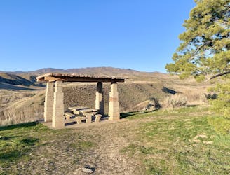
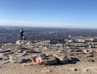
Camel's Back Park is a web of trails near downtown Boise. The paths begin from the streets of North End and climb steeply to views over the city and the foothills. In addition to the inclines, however, there are flatter paths among trees and beside a creek. The loop mapped here connects the best of these two kinds of trails, making one possible route through forest and to the top of the hill.
The abundance of trails makes many variations possible, and there is more than one parking area you could start from. Shown here is the trailhead on 8th Street Extension/Sunset Peak Rd. Hike the loop in either direction, and don't hesitate to explore side trails or longer routes in this extensive urban trail system.
Moderate
Hiking along trails with some uneven terrain and small hills. Small rocks and roots may be present.

The trail contains some obstacles such as outcroppings and rock which could cause injury.

Close to help in case of emergency.
62 m away
A short loop with a lot of variety, and different sights for every season.
Easy Hiking
837 m away
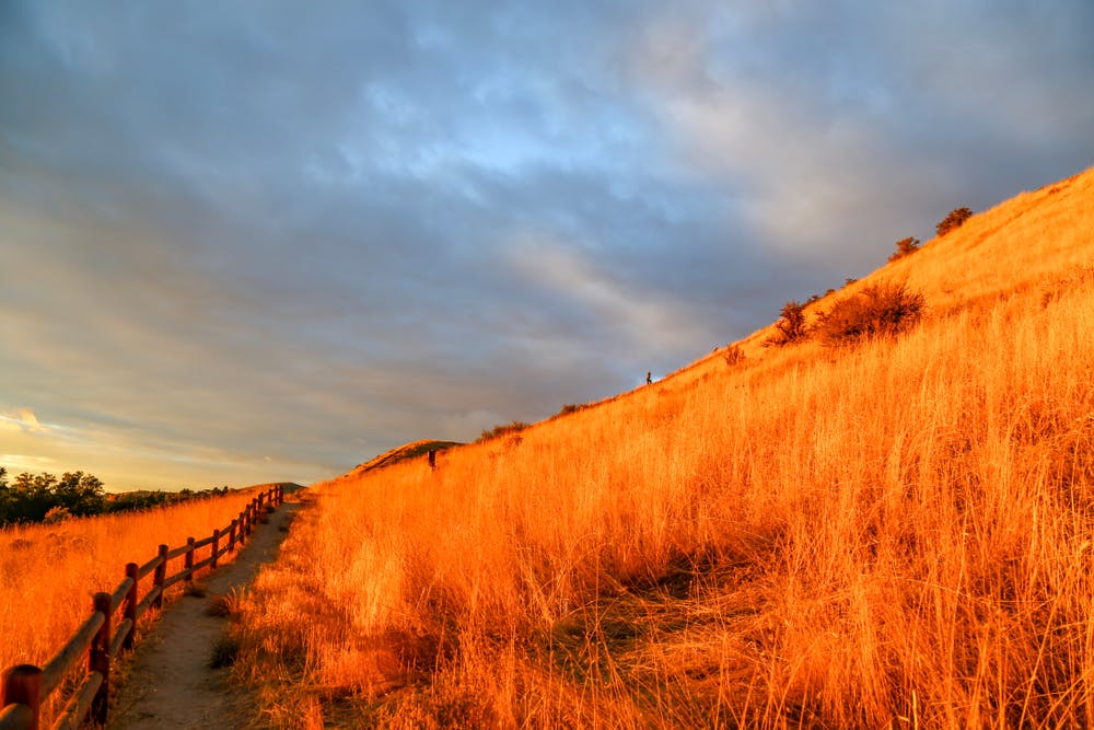
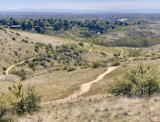
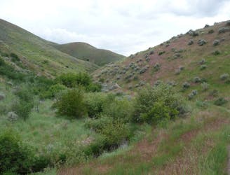
A nicely varied loop in the foothills near downtown, through a sheltered creek valley and across panoramic slopes.
Moderate Hiking
840 m away
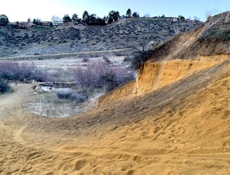
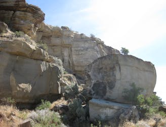
A short and scenic loop with views over the city and some colorful geology.
Easy Hiking
1.2 km away
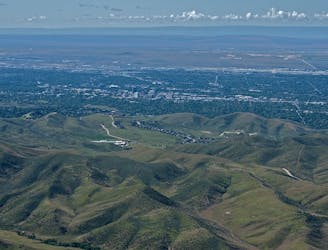
A scenic jaunt close to downtown, in a network of many popular trails.
Moderate Hiking
2.4 km away

Short and easy hike among prairie and forest near a little creek.
Easy Hiking
2.4 km away
A loop with some elevation gain and varied scenery, using Ridge Crest and Central Ridge trails
Moderate Hiking
2.4 km away
Hike uphill to nice views from both sides of a ridge near downtown Boise.
Moderate Hiking
4.1 km away
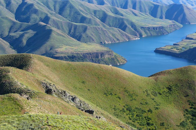
A hiker-only trail with gorgeous views and lessons on nature in the Boise Foothills.
Moderate Hiking
4.7 km away
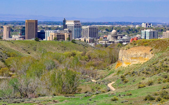
Quick hike in the foothills near downtown, with striking geology and sweeping views of the city.
Moderate Hiking
4.7 km away
Boise's #1 hike, plus bonus scenery by making the loop.
Difficult Hiking
10 routes · Hiking
10 routes · Hiking