4.6 km away
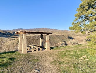
Polecat Quick Draw Loop

A shorter version of a trail loop through Polecat Gulch
Moderate Hiking
- Distance
- 5.1 km
- Ascent
- 168 m
- Descent
- 168 m
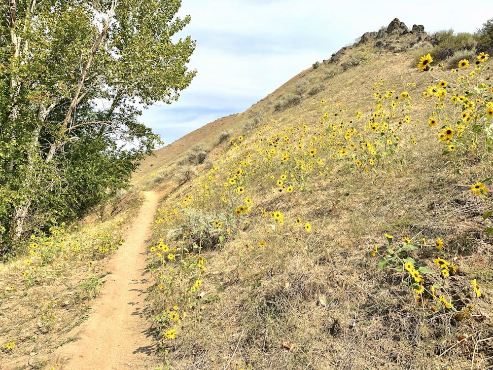
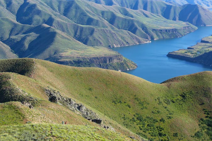
Walk through a deep canyon in the Boise Foothills, beside a rare perennial stream.
Hiking Moderate

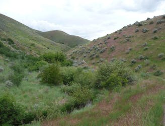
This hike makes a pleasant retreat in the summer and fall, when water is hard to find through most of the foothills. Contrary to its name, Dry Creek flows year round, creating a lush riparian zone and habitat for native fish. The trail explores the leafy creek corridor as well as surrounding grassland flecked with flowers.
It begins with a descent into the canyon on a well-traveled path, then the trail bobs between rock formations with some steep sections and loose footing. It gets easier though, as the terrain levels out in the widening canyon. You'll see a variety of foliage and perhaps wildlife as the trail ascends casually up the drainage. Bridges cross the stream a few times, and the scenery alternates from creekside groves to open hillsides.
Eventually there's a fork where Shingle Creek joins Dry Creek, and one trail proceeds up each canyon. You might hike farther on either, but this junction makes a reasonable turnaround point.
This hike is best in late spring when the wildflowers pop, and again in fall for the foliage. It remains popular all summer as well, but is best on cooler days because shade is scarce. Dry Creek is popular with a variety of users including mountain bikers, so it's important to courteously share the space, and to reduce erosion by staying on the trail.
Moderate
Hiking along trails with some uneven terrain and small hills. Small rocks and roots may be present.

The trail contains some obstacles such as outcroppings and rock which could cause injury.
Away from help but easily accessed.
4.6 km away
A shorter version of a trail loop through Polecat Gulch
Moderate Hiking
5.4 km away
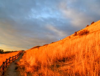
A hiker-only trail with gorgeous views and lessons on nature in the Boise Foothills.
Moderate Hiking
5.5 km away
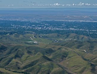
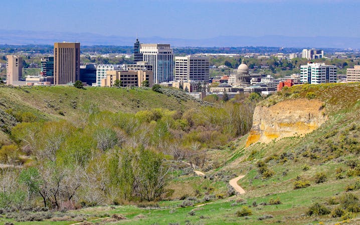
A short and scenic loop with views over the city and some colorful geology.
Easy Hiking
5.5 km away
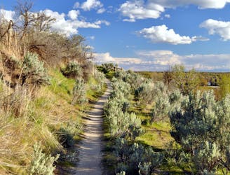
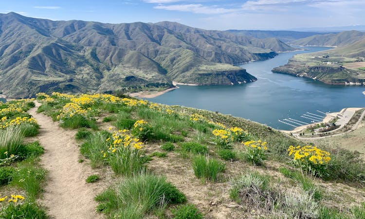
A nicely varied loop in the foothills near downtown, through a sheltered creek valley and across panoramic slopes.
Moderate Hiking
5.6 km away
A scenic jaunt close to downtown, in a network of many popular trails.
Moderate Hiking
5.9 km away
Scenic loop with steep hills and shady forest in the North End of Boise.
Moderate Hiking
5.9 km away

A short loop with a lot of variety, and different sights for every season.
Easy Hiking
6.5 km away
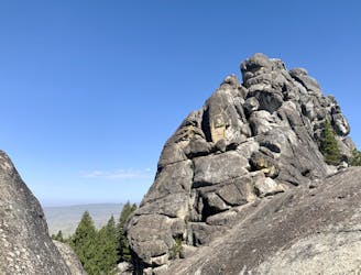
A hike through mountainside meadows and conifer forest high above Boise, overlooking the valley and reaching a stand-out rock formation at the end.
Moderate Hiking
7.8 km away
A short and hilly trail loop with excellent views.
Easy Hiking
7.9 km away
Hike uphill to nice views from both sides of a ridge near downtown Boise.
Moderate Hiking
10 routes · Hiking
10 routes · Hiking
8 routes · Hiking · Trail Running