8 m away
Mount Sentinel
A tough climb up one of Missoula's best known peaks
Difficult Hiking
- Distance
- 6.4 km
- Ascent
- 650 m
- Descent
- 650 m
The classic Missoula hike to a local landmark
Hiking Difficult

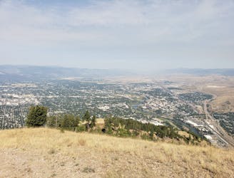
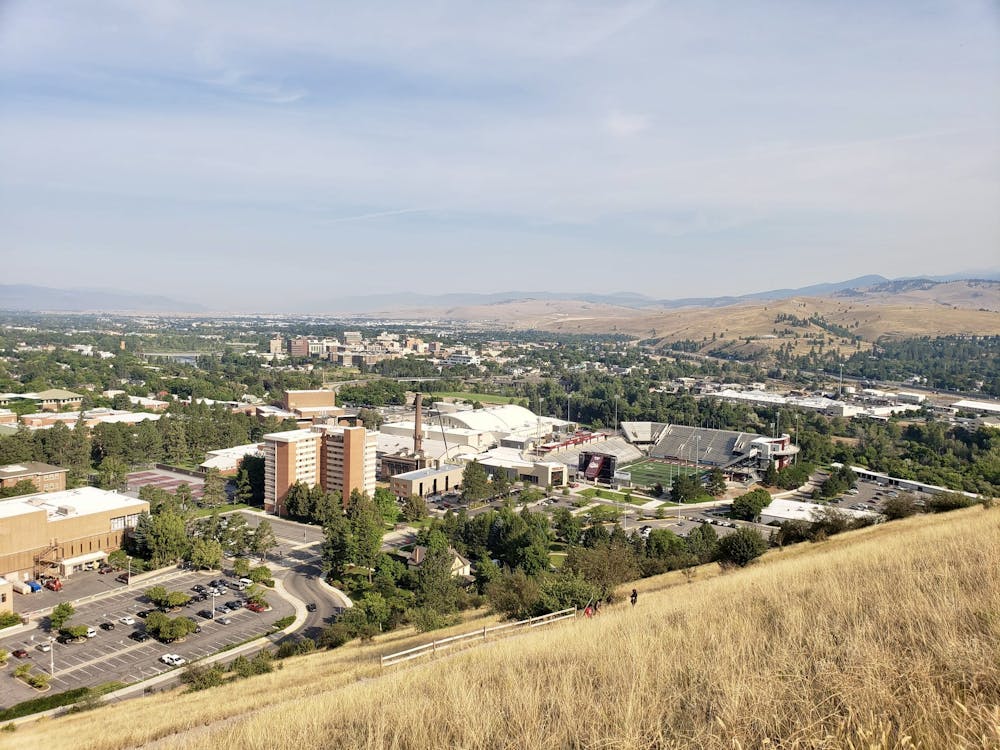
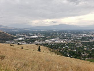
Missoula's famous "M" which is etched on the hillside above the University of Montana, to the south-east of the city centre, is a popular destination for local hikers. You're unlikely to have this trail to yourself, but hiking it is a great way of getting a mini workout and enjoying a huge view across Missoula, even if it's not exactly a wilderness experience.
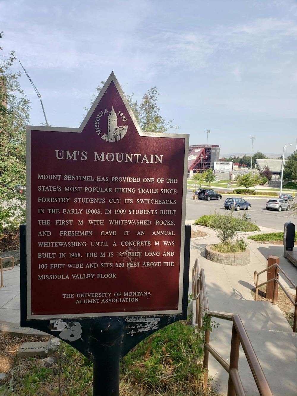
There is ample (paid) parking at the foot of the trail and the start of the route is clearly signposted, so logistics are simple enough. Once underway, it's a tough climb up a series of zig-zags to the famous M. The angle doesn't relent much so keep on grinding and you should be up in about 20 - 30 minutes.
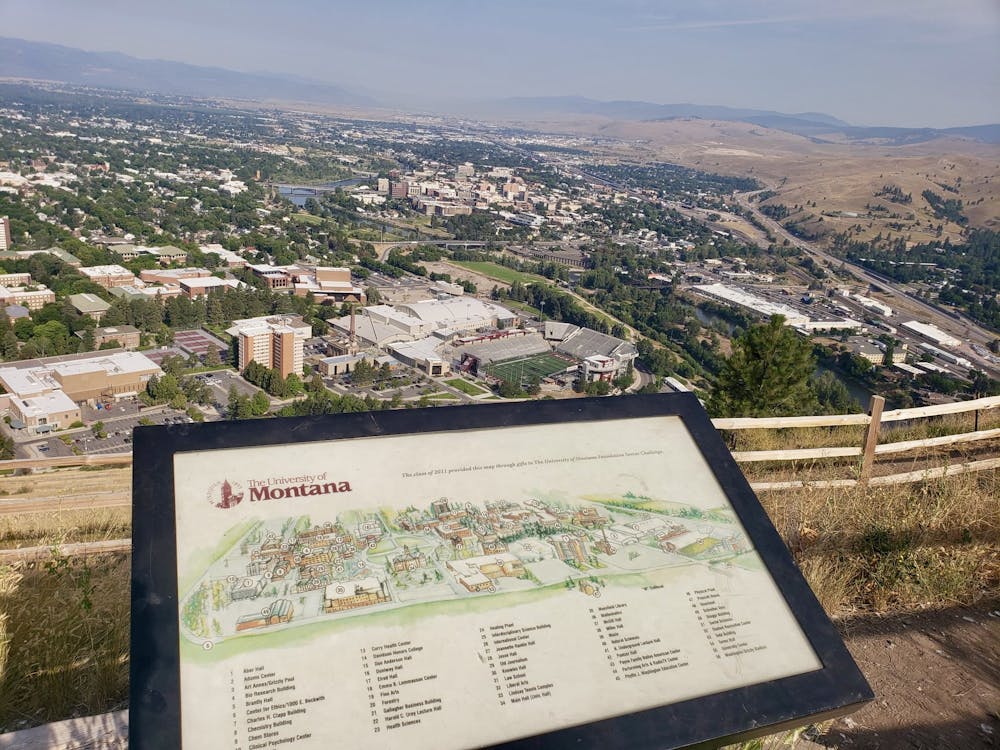
The M itself is pretty huge when you see it close up, and is made from concrete which has then been painted white. The view is excellent and allows you to pick out the various Missoula landmarks, including the football stadium, next to which the trail began. There's also a handy information board outlining what the various buildings around the city are.
From the M you've got several options - extend your hike by carrying on up to Mount Sentinel, descend the Evans Trail and then return to your car on the road, descend the route you came up, or take the option drawn here and turn the M trail into a loop by descending a steeper trail just to the north which leads back to the parking lot.
Regardless of which option you choose, a swim in the Clark Fork river is a good way to cool down when you return to the valley floor!
Difficult
Hiking trails where obstacles such as rocks or roots are prevalent. Some obstacles can require care to step over or around. At times, the trail can be worn and eroded. The grade of the trail is generally quite steep, and can often lead to strenuous hiking.

The trail contains some obstacles such as outcroppings and rock which could cause injury.
Away from help but easily accessed.
8 m away
A tough climb up one of Missoula's best known peaks
Difficult Hiking
934 m away

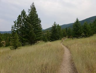
Hike a prominent summit and enjoy some peaceful forests
Difficult Hiking
934 m away
Short and sharp!
Moderate Hiking
1.5 km away
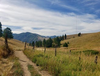
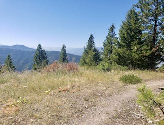
Escape the city and enjoy some huge views
Moderate Hiking
1.7 km away
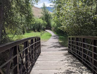
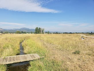
Get a stress-free fix of nature on the edge of Missoula
Easy Hiking
2.1 km away
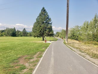
Explore the sights of downtown Missoula on this easy stroll
Easy Hiking
3.6 km away
A quick fix of nature close to Missoula
Moderate Hiking
4.3 km away
A beautiful hike which provides huge views across Missoula and the Bitterroot Valley
Difficult Hiking
6.7 km away
Enjoy some famous Montana "big sky" on this easy, scenic hike
Easy Hiking
7.2 km away
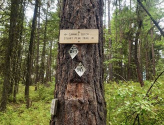
Experience the epic Rattlesnake Wilderness Area and climb one of its most prominent peaks
Difficult Hiking
5 routes · Hiking

10 routes · Hiking