5.5 km away
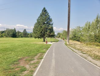
Greenough Park
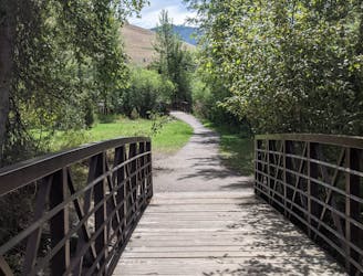
Get a stress-free fix of nature on the edge of Missoula
Easy Hiking
- Distance
- 2.5 km
- Ascent
- 21 m
- Descent
- 21 m
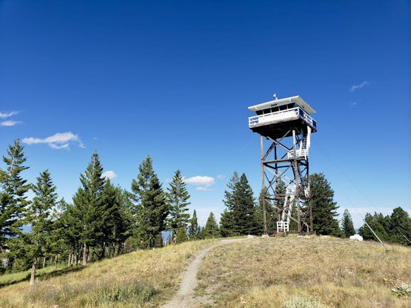
Experience the epic Rattlesnake Wilderness Area and climb one of its most prominent peaks
Hiking Difficult

Sitting remarkably close to Missoula is the Rattlesnake Wilderness Area, an area which (being an official Wilderness Area) can only be accessed by non-motorised forms of transport. Fortunately for us, the boundary of the Wilderness Area doesn't quite extend to cover the lower section of this trip, so riding a bike up the first 4 miles to where the Stuart Peak Trail branches off from Spring Gulch is a good way of making the trip easier and more enjoyable.
N.B. Be conscious that bears pay no attention to boundaries and are just as common around the bike trails as they are in the Wilderness Area itself. Be "bear aware" and heed the numerous warning signs explaining how prevalent bear sightings are in this area.
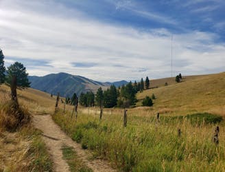
Having parked up at the large Rattlesnake parking lot, follow the beautifully sculpted and easy-feeling up-track which climbs through dense forests towards where the descent trail begins. The ascent on this route is one of the best examples of sensible trail building, and proves how easy going up can be if the track is well built! There aren't many views on the way up so just enjoy the forests and long grasses all around you.
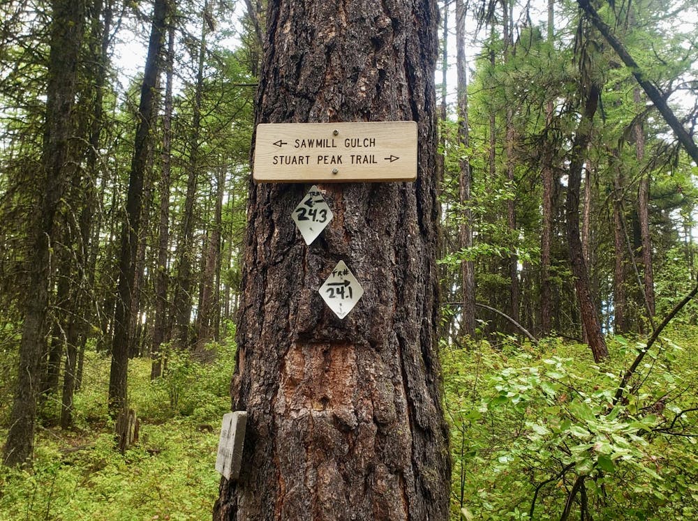
When the Stuart Peak trail branches off from the Spring Gulch trail there's a signpost denoting the new trail, and locking your bikes up somewhere close to this is logical. You can actually ride a little further before entering the official Rattlesnake Wilderness Area, so stay on 2 wheels for a little longer if you'd like.
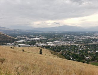
When you do finally get hiking the trail to Stuart Peak is stunning, and passes through dense forests as well as some more open, meadow-y sections. The peak itself is spectacular, and offers huge views across the even more remote parts of Rattlesnake Wilderness, and down towards the many lakes which sit just to the north and north-east of the summit.
For those with the fitness, equipment and desire to explore further there is the option to carry on hiking to one of the lakes or to Mosquito Peak. For most mere mortals, retracing your steps back to the Spring Gulch junction is adventure enough.
If you brought a bike, jump back on it and round out your day by riding the fabulous Full Fenceline Trail, or - if you're on foot - retrace your steps down Spring Gulch and head back to Missoula for a well earned drink!
Difficult
Hiking trails where obstacles such as rocks or roots are prevalent. Some obstacles can require care to step over or around. At times, the trail can be worn and eroded. The grade of the trail is generally quite steep, and can often lead to strenuous hiking.

The trail contains some obstacles such as outcroppings and rock which could cause injury.

In the high mountains or remote conditions, all individuals must be completely autonomous in every situation.
5.5 km away
Get a stress-free fix of nature on the edge of Missoula
Easy Hiking
5.7 km away
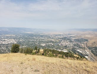
Escape the city and enjoy some huge views
Moderate Hiking
6.3 km away
Short and sharp!
Moderate Hiking
6.3 km away

Hike a prominent summit and enjoy some peaceful forests
Difficult Hiking
6.7 km away
Explore the sights of downtown Missoula on this easy stroll
Easy Hiking
7.2 km away

The classic Missoula hike to a local landmark
Difficult Hiking
7.2 km away
A tough climb up one of Missoula's best known peaks
Difficult Hiking
5 routes · Hiking

10 routes · Hiking