580 m away
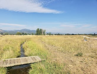
Greenough Park
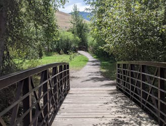
Get a stress-free fix of nature on the edge of Missoula
Easy Hiking
- Distance
- 2.5 km
- Ascent
- 21 m
- Descent
- 21 m
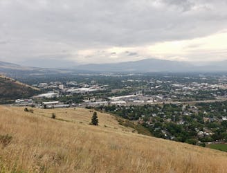
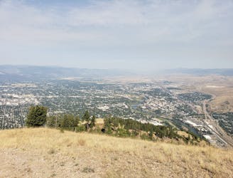
Escape the city and enjoy some huge views
Hiking Moderate

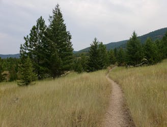
Despite its name, the best hiking route at North Hills Ridge isn't actually on the ridge itself, as this line demonstrates. The ridge crest itself isn't a bad hike by any means, but taking the route shown here (the valley to the east of the ridge and then the wide open slopes to its west) is even better. The hike passes next to private properties, so respect the relevant (and well signposted) boundaries and enjoy a great hike.
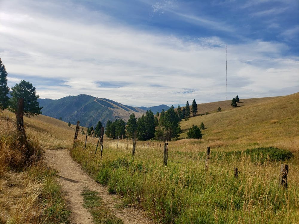
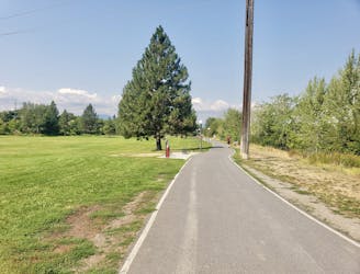
There is a parking lot specifically for the North Hills ridge, so park up there and then hike through a brief section of forest to reach a shallow valley. Within 2 minutes of leaving the parking lot you'll find yourself in peaceful surroundings, and the valley is remarkably quiet given its proximity to Missoula city centre.
The stroll up the valley is thoroughly enjoyable, and leads you towards some large pylons. Shortly before reaching the pylons, hang a left and climb steeply up to and then over North Hills Ridge itself. On the far side of the ridge, descend gradually down and then undulate through sloping meadows back onto the crest of the ridge.
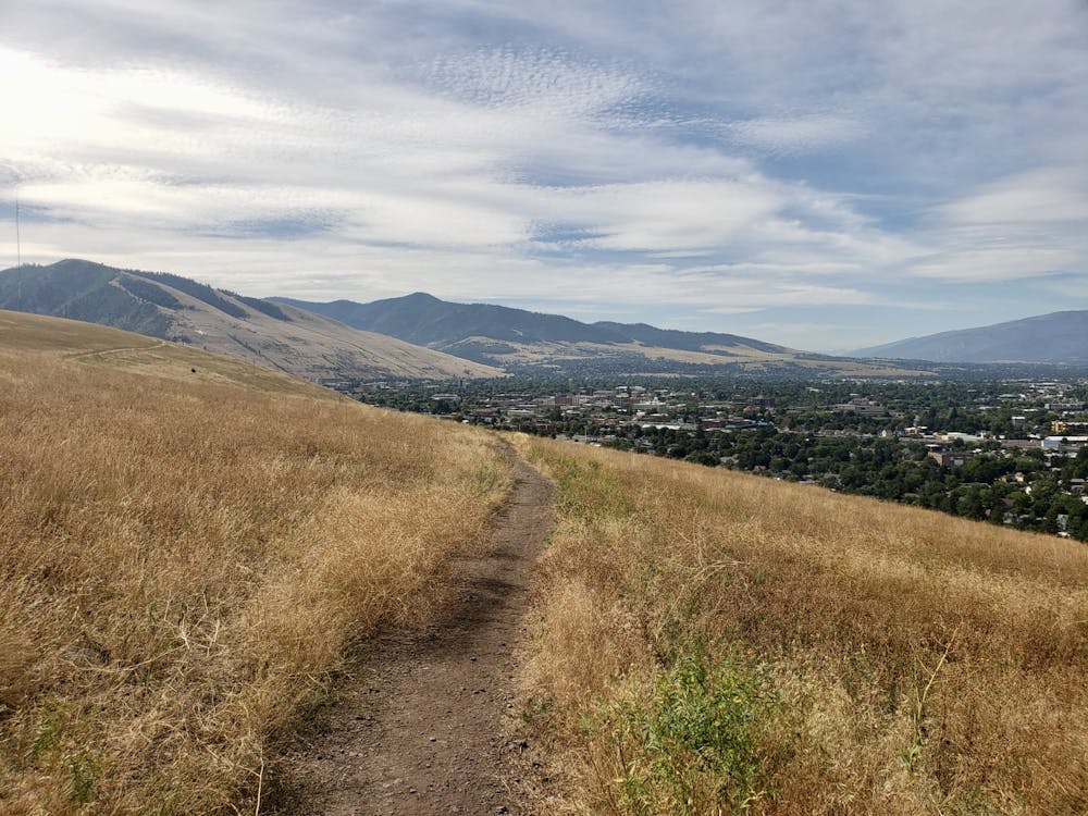
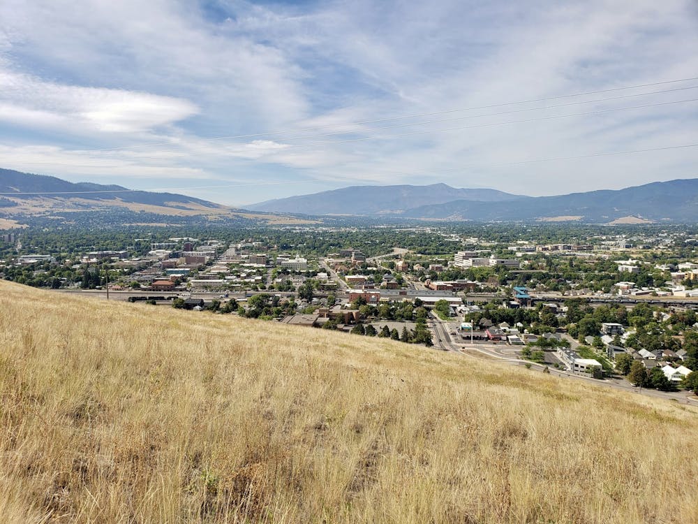
The final section of trail leads you down past Waterworks Hill and offers great views over Missoula city. The path feels almost as if it's hanging above the city, and slowly descending into reality after a couple of hours in nature is a wonderful sensation.
Having a drink in Missoula and looking up at where you've just been is equally enjoyable!
Moderate
Hiking along trails with some uneven terrain and small hills. Small rocks and roots may be present.

The trail contains some obstacles such as outcroppings and rock which could cause injury.
Away from help but easily accessed.
580 m away
Get a stress-free fix of nature on the edge of Missoula
Easy Hiking
806 m away
Short and sharp!
Moderate Hiking
809 m away

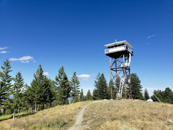
Hike a prominent summit and enjoy some peaceful forests
Difficult Hiking
1.5 km away

The classic Missoula hike to a local landmark
Difficult Hiking
1.5 km away
A tough climb up one of Missoula's best known peaks
Difficult Hiking
1.6 km away
Explore the sights of downtown Missoula on this easy stroll
Easy Hiking
5.2 km away
A quick fix of nature close to Missoula
Moderate Hiking
5.7 km away
Experience the epic Rattlesnake Wilderness Area and climb one of its most prominent peaks
Difficult Hiking
5.8 km away
A beautiful hike which provides huge views across Missoula and the Bitterroot Valley
Difficult Hiking
6.8 km away
Enjoy some famous Montana "big sky" on this easy, scenic hike
Easy Hiking
5 routes · Hiking

10 routes · Hiking